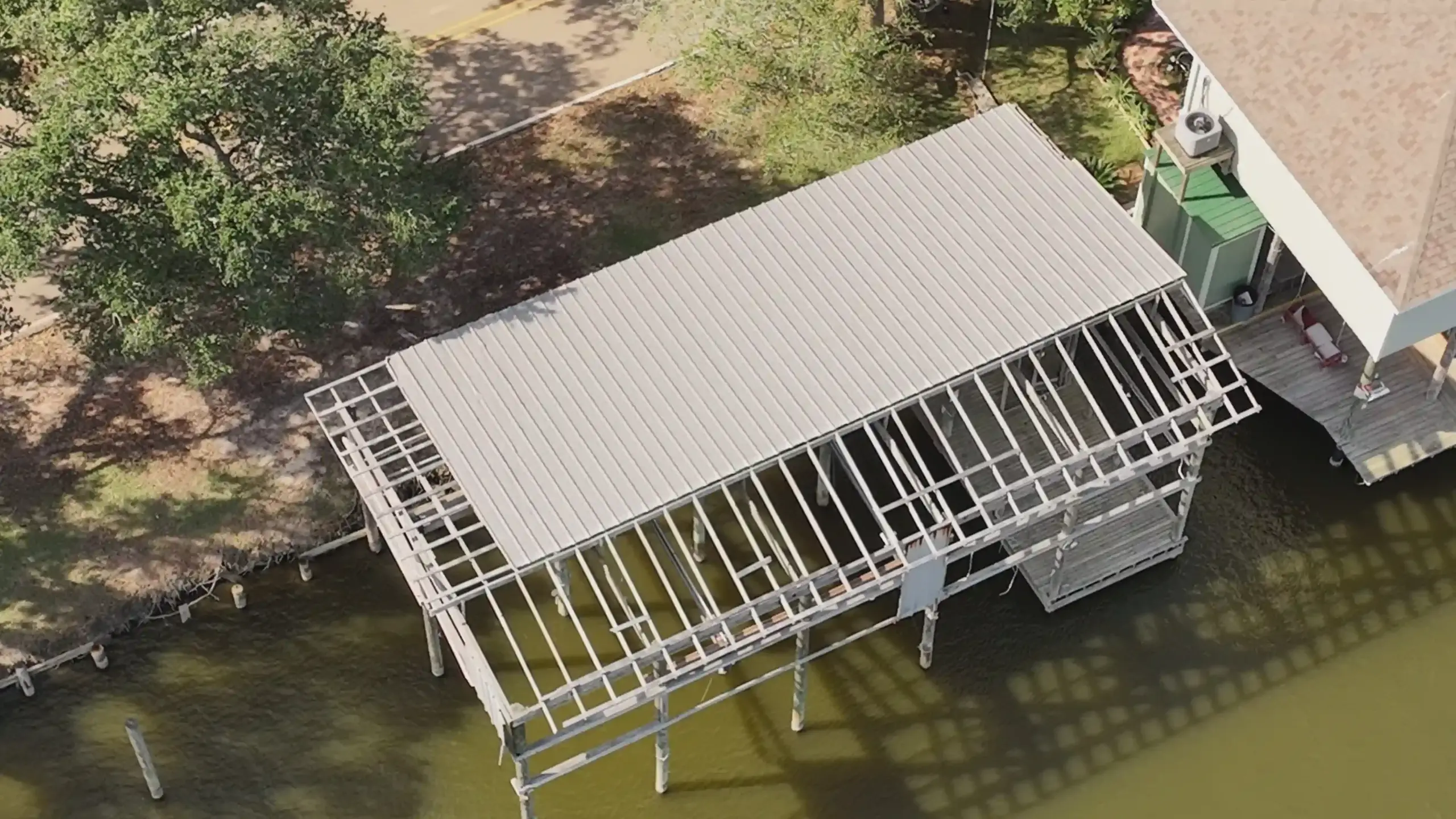
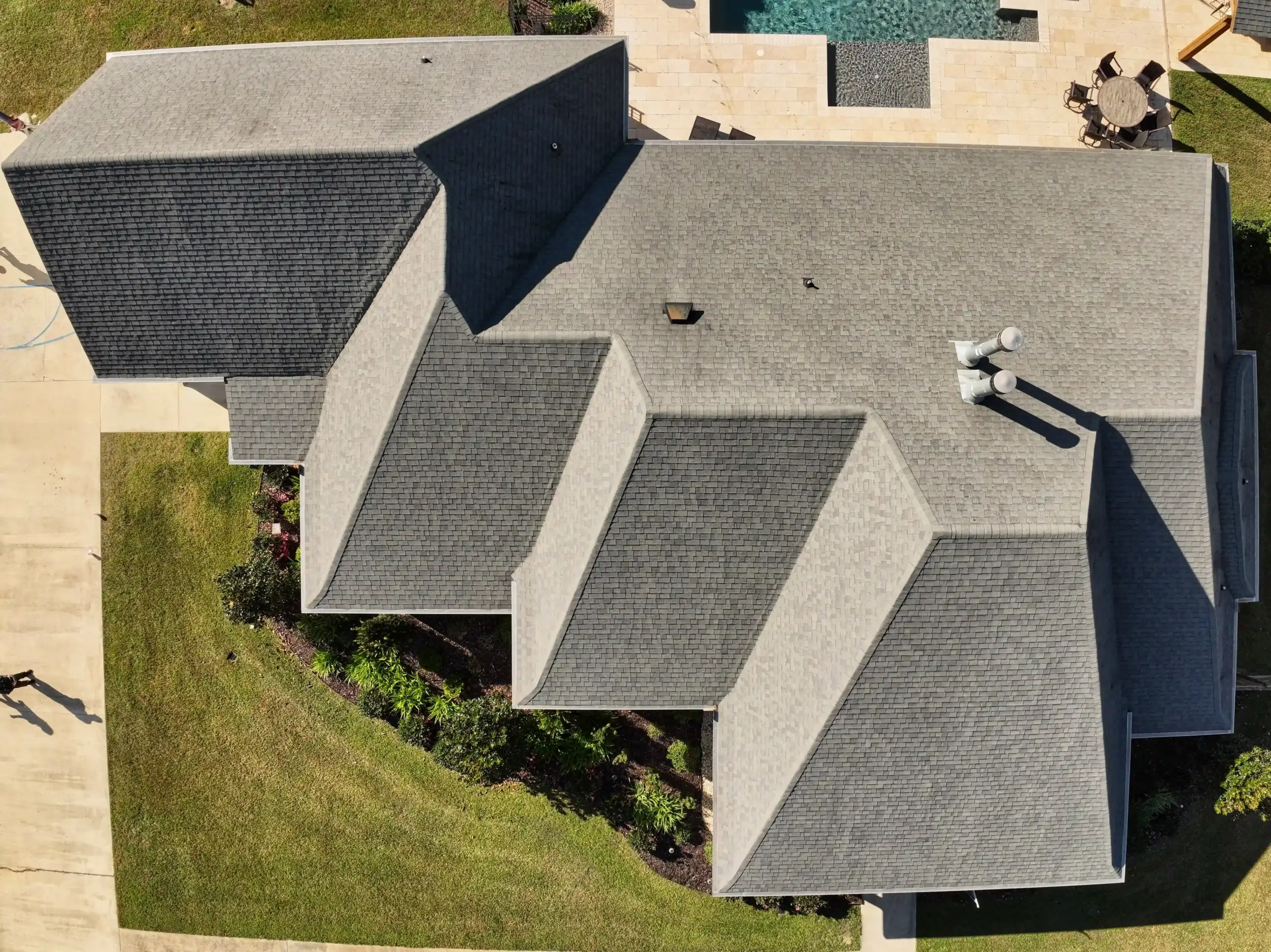
Insurance & Claims Support
Aerial documentation supporting claim records, condition verification, and post-event documentation using repeatable visual capture.
The Problem
Claims documentation is often incomplete, inconsistent, or delayed, leading to disputes and extended processing timelines.
Solution
AGL captures time-stamped aerial imagery that provides clear visual records before and after events. Our documentation supports communication between property owners, contractors, and insurance professionals.
The Advantages
Stronger visual records, faster documentation, and improved clarity during the claims process.
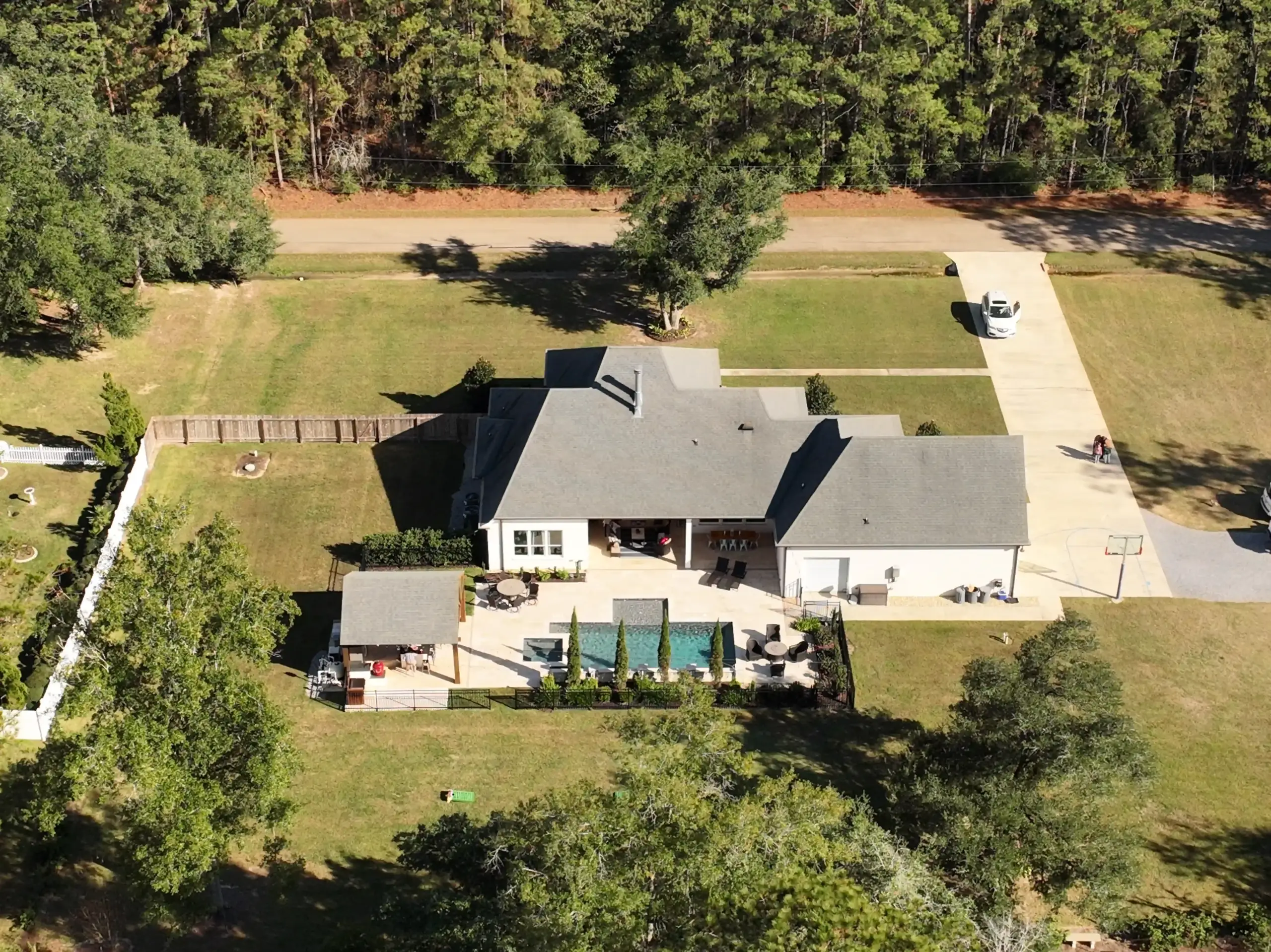
AGL Drone Imagery provided excellent aerial photos for our property listing. The images were clear, well-framed, and effectively highlighted the property layout. The whole process was professional, safe, and organized from beginning to end.
Professional, Safe, and Extremely Detailed
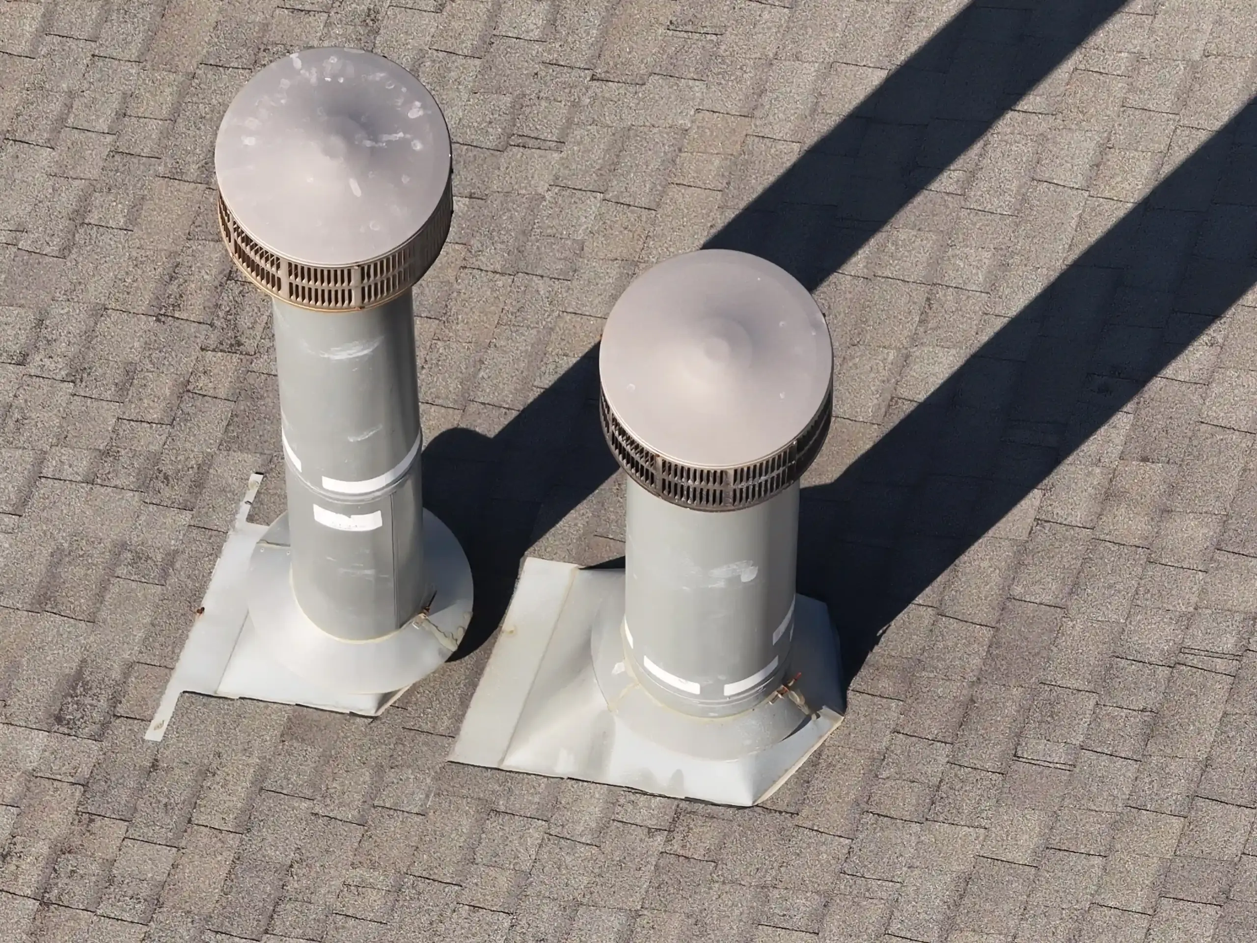
AGL Drone Imagery provided exactly what we needed after a storm—clear roof images organized and ready for insurance review. The service was efficient, professional, and safety-focused.
Safe, Efficient, and Insurance-Ready Imagery
We needed roof condition imagery without putting anyone on ladders. AGL Drone Imagery provided clear, high-resolution photos that were perfect for documentation and maintenance planning. Fast turnaround and very professional service.
Excellent Roof Documentation Service
FACTS & FREQUENTLY ASKED QUESTIONS (FAQ)
1) What exactly does AGL Drone Imagery LLC do?
AGL Drone Imagery provides professional aerial photography, video, mapping, and 3D documentation designed to turn aerial imagery into clear, decision-ready information. Depending on your project, we deliver edited photos, edited videos, scaled site visuals, 3D models, elevation visuals, and documentation packages that help you plan, verify conditions, and communicate clearly.
2) How is this different from hiring someone who just takes drone photos or videos?
Most operators deliver good-looking footage. AGL focuses on repeatable, precise capture and professional processing workflows that improve consistency and usefulness, especially for construction, agriculture, and post-storm documentation.
3) What areas do you serve?
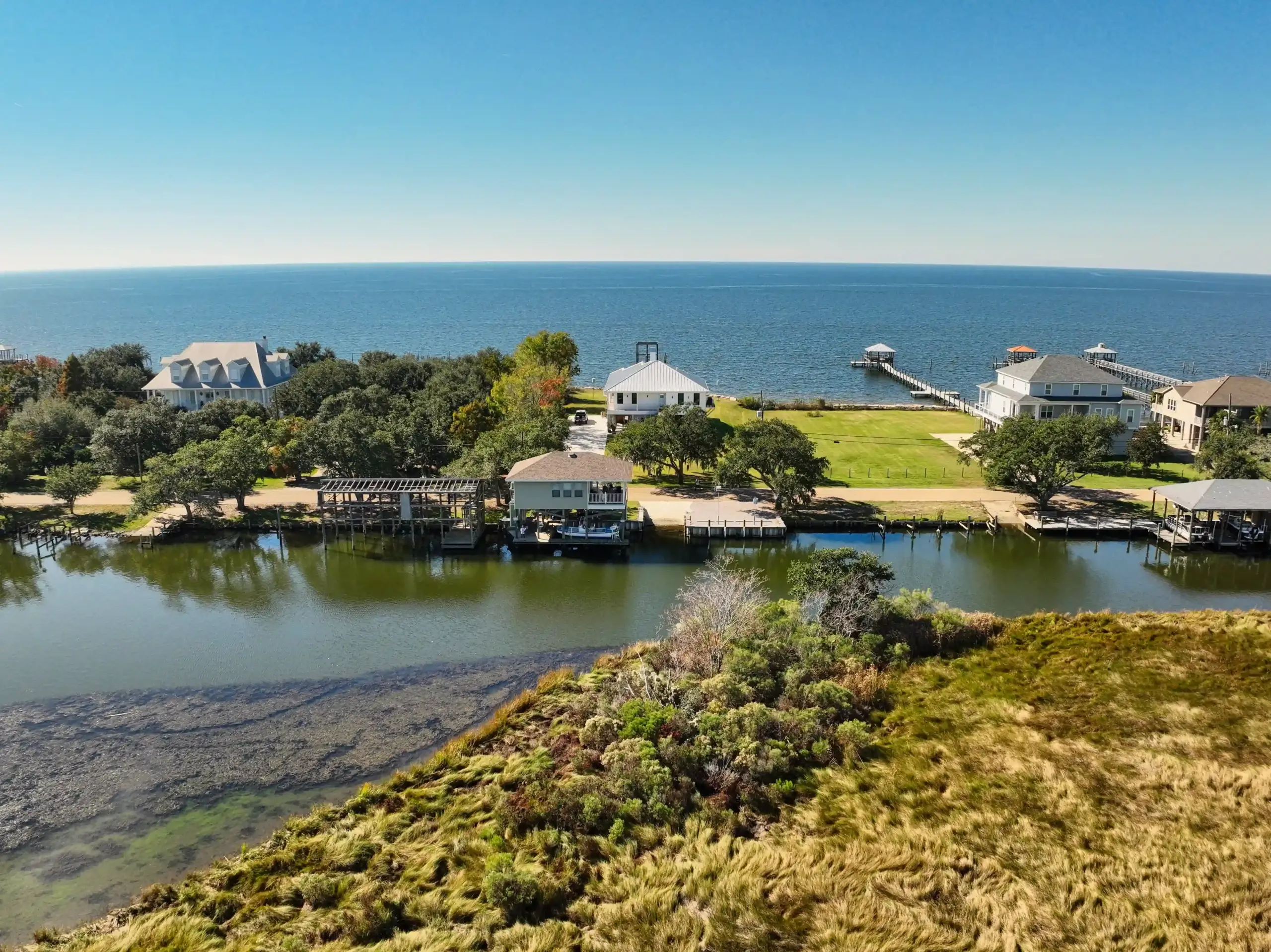
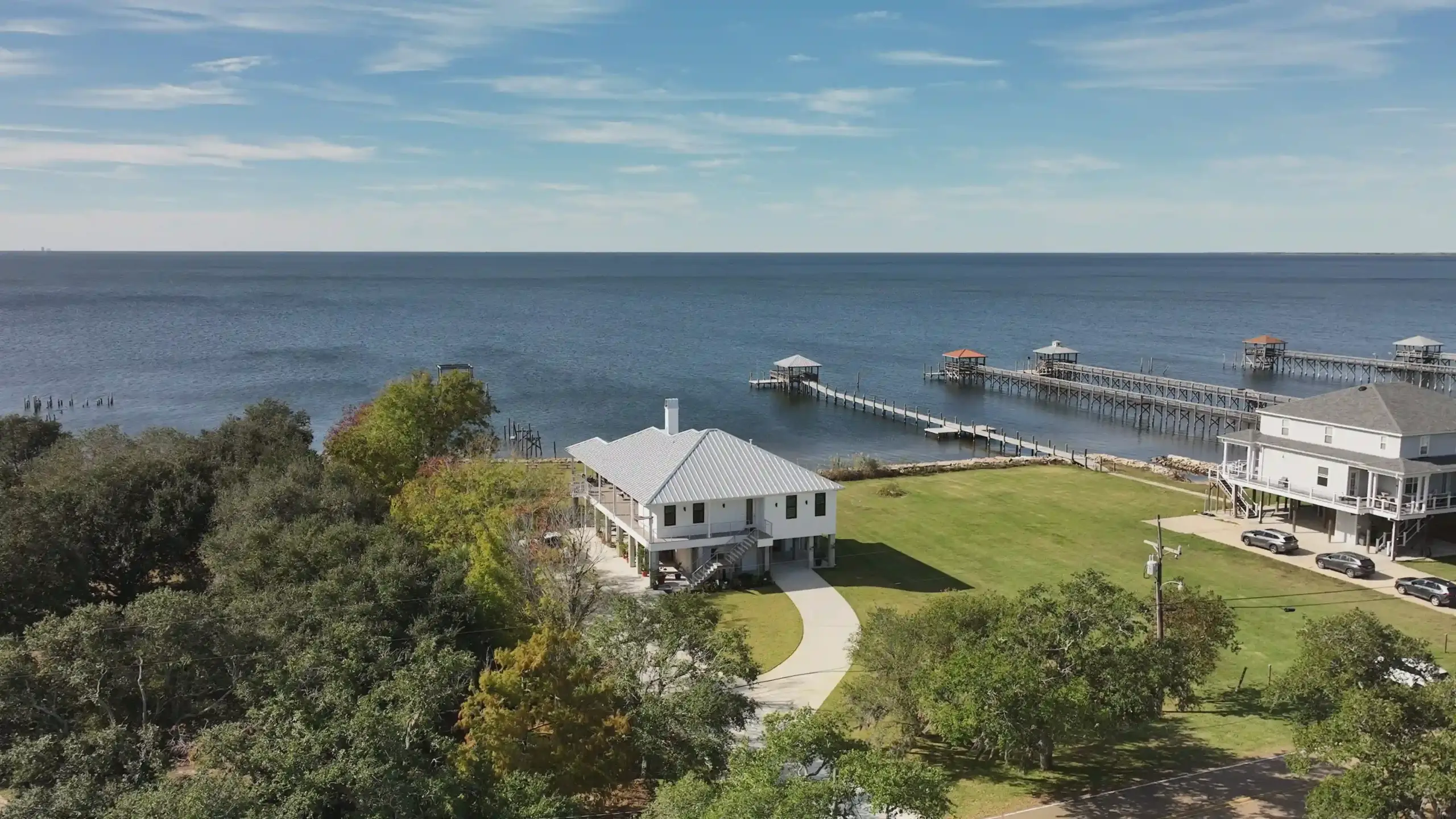
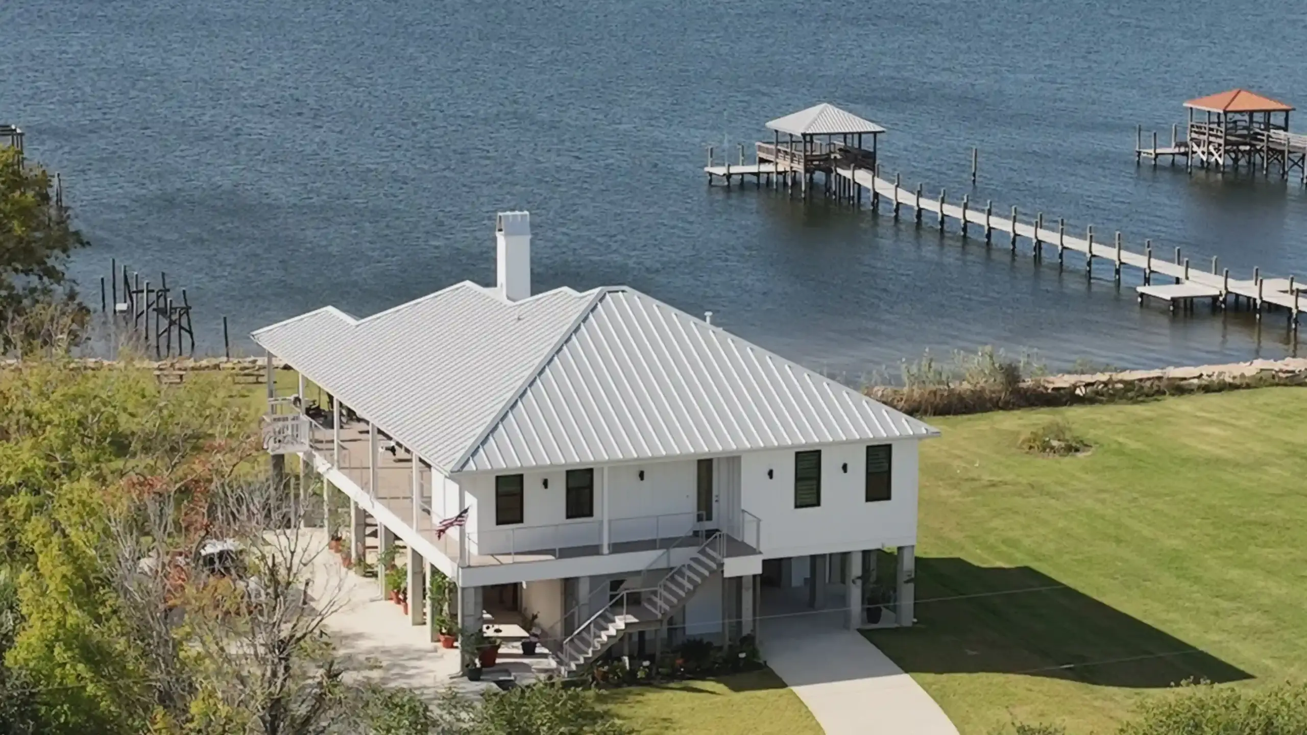
AGL Drone Imagery proudly serves Camden, Elizabeth City, Pasquotank, Currituck, South Mills, Gates County, Moyock, the Outer Banks, and surrounding northeastern North Carolina. Travel beyond the included service area is available as outlined in the Pricing Guide.
4) How does pricing work, and why is it shown as a range?
Pricing is shown as a range because every site is different. Final pricing is based on property size, obstacles, flight complexity, time on site, and FAA airspace authorization requirements.
5) What video format will I receive—horizontal or vertical?
You choose the format based on how you plan to use it. Horizontal video is best for websites, YouTube, and standard Facebook posts. Vertical video is best for Instagram Reels, TikTok, and Facebook Reels.
6) What deliverables will I receive?
Deliverables depend on the selected package and project goals and may include edited photos, edited video clips, cinematic videos, or advanced mapping deliverables. Raw photo and video files are available as optional add-ons.
7) How soon will I receive my deliverables?
Typical delivery timelines begin after the flight is completed. Photos and video clips are usually delivered within 5–7 business days. Cinematic videos typically take about 7 business days. Premium packages may take 7–10 business days.
8) What about FAA airspace authorization and scheduling?
Some locations require FAA airspace authorization before flight. Approvals can take up to three weeks, though many are completed within 5–10 business days. Flights are also weather-dependent.
9) Are your services legal and compliant in North Carolina?
Yes. All operations are conducted under FAA rules. AGL Drone Imagery provides aerial imagery and visual documentation services only.
10) Do your services replace licensed surveyors or engineers?
No. AGL Drone Imagery does not provide boundary determinations, legal property descriptions, certified measurements, engineering, or architectural services. Licensed professionals should be consulted where required.
11) How do I get started?
Call or text (252) 621-3006 or email info@AGLDroneImagery.com. We will discuss your goals, confirm scheduling and airspace requirements, and recommend the best deliverables for your project.
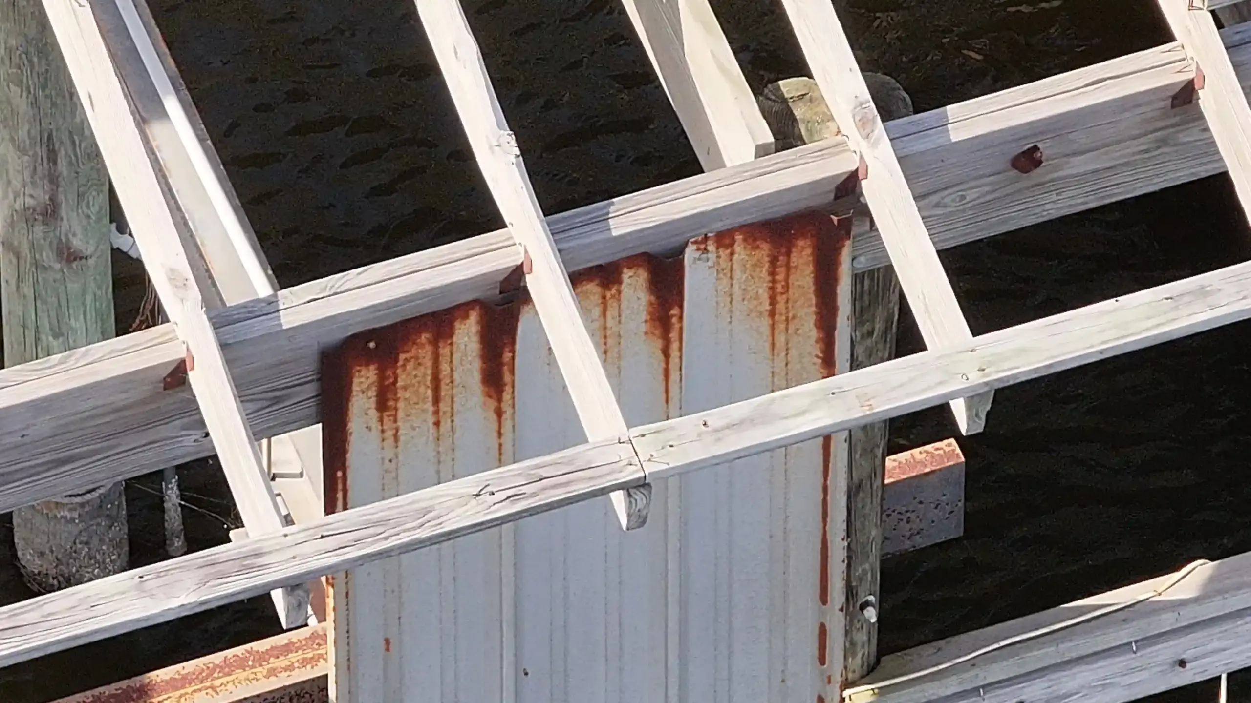
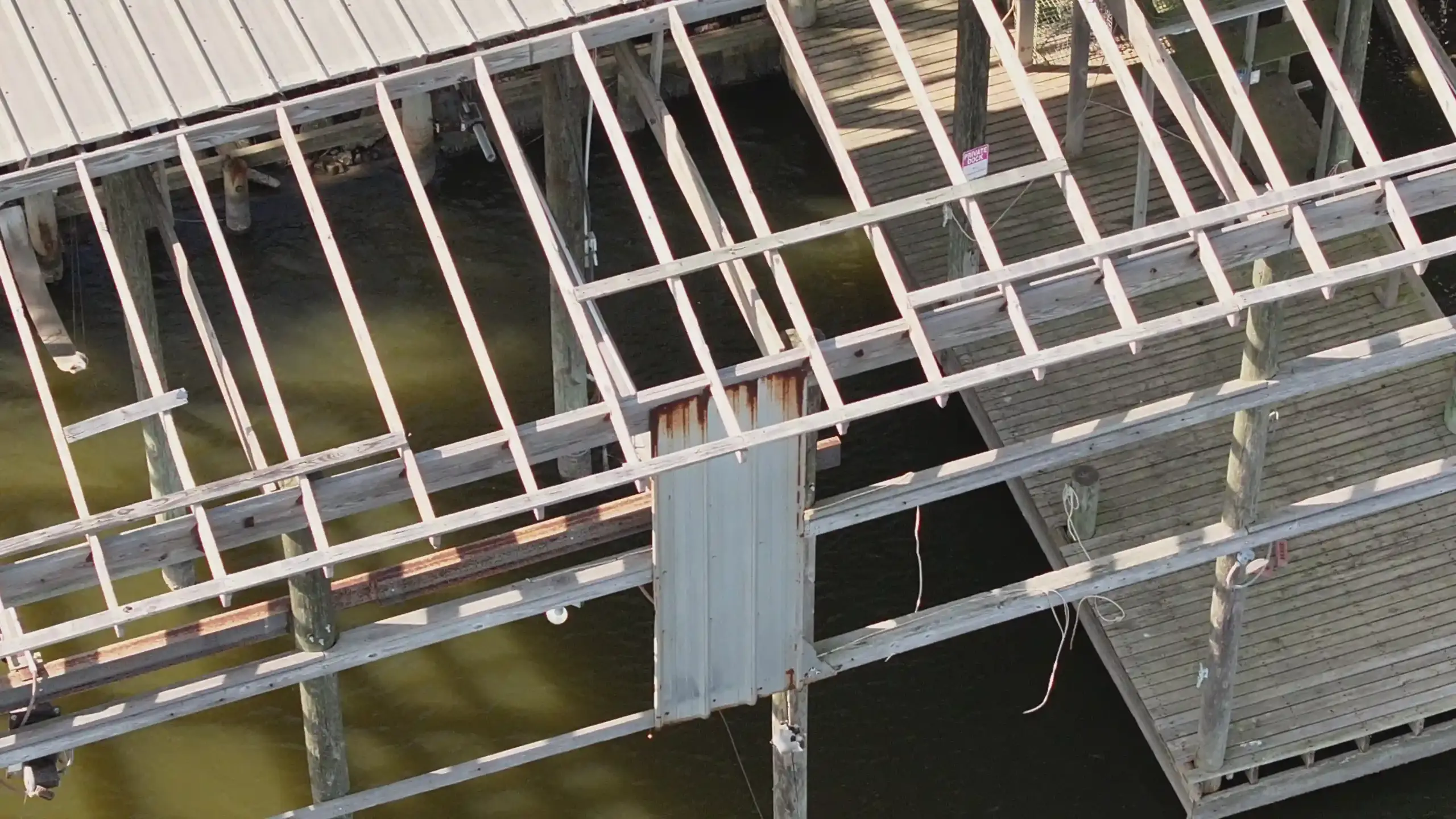
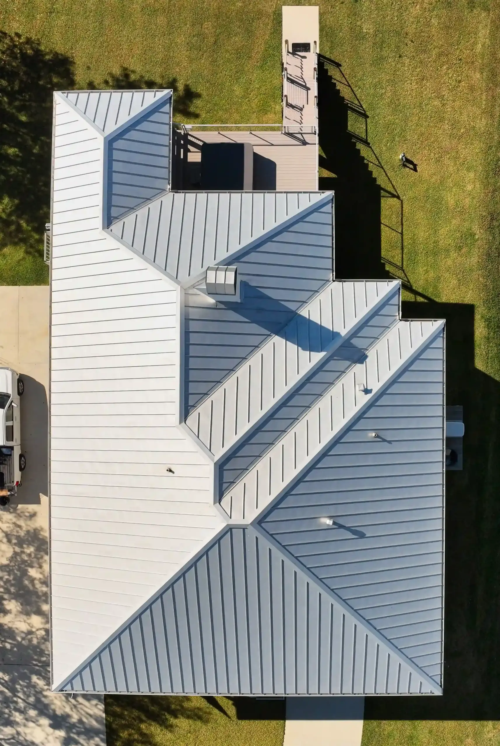
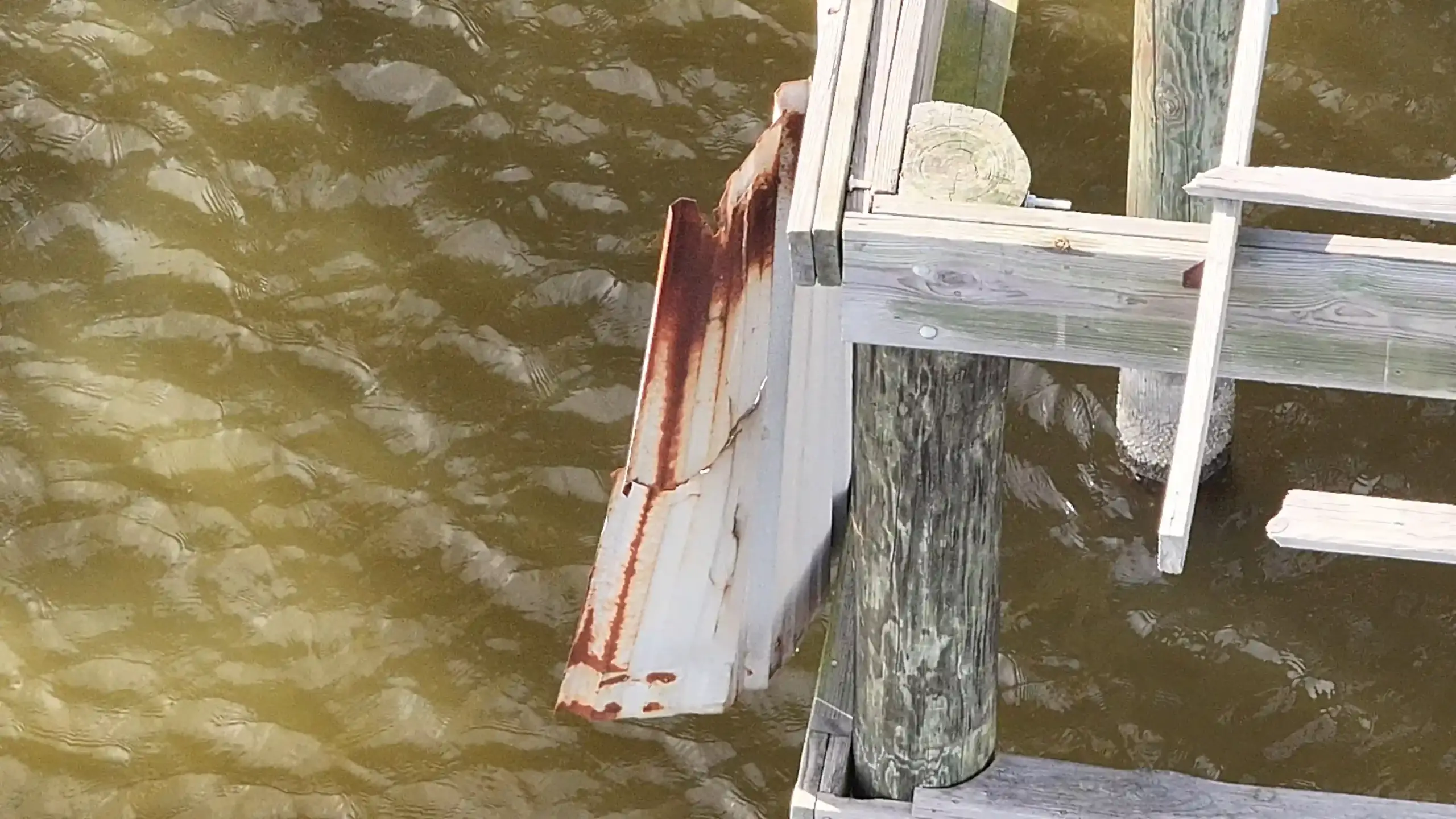
INSURANCE & DAMAGE DOCUMENTATION
How can drone documentation help with insurance claims?
AGL Drone Imagery provides clear, time-stamped aerial documentation that supports insurance claim review by showing property conditions before cleanup or repairs begin. Early documentation can help preserve visual evidence that may change quickly after storms, flooding, or wind events.
Do you work for insurance companies or homeowners?
AGL Drone Imagery works for property owners, businesses, farmers, and agencies. We provide independent aerial documentation that clients may choose to share with insurance adjusters, contractors, or other professionals as part of their claim process.
Can drone documentation speed up the insurance process?
In many cases, yes. Capturing conditions soon after an event can reduce delays caused by access issues, standing water, debris, or unsafe conditions. While AGL does not influence claim decisions, timely documentation can help clarify conditions during review.
What types of insurance-related documentation do you provide?
Common insurance-related documentation includes roof and structure imagery, flood extent and standing water documentation, wind and storm impact visuals, and large-property or farmland damage overviews. All deliverables are visual and informational only.
Start the Conversation
Call or Text: 252-621-3006
Email: info@agldroneimagery.com