What You Receive
AERIAL PHOTOGRAPHY & VIDEOGRAPHY
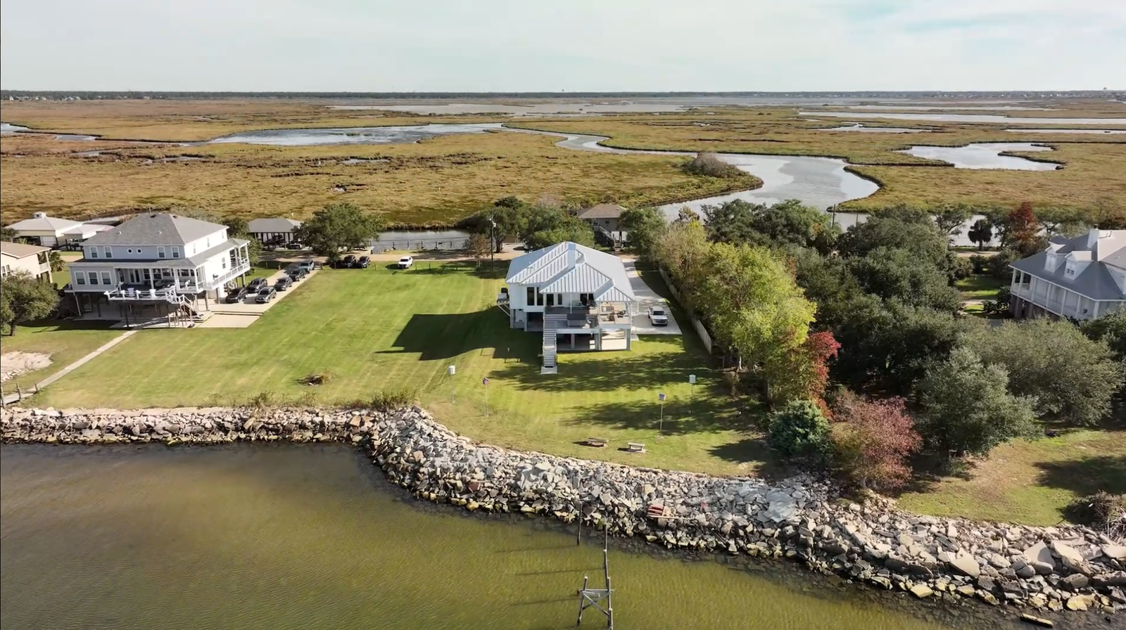
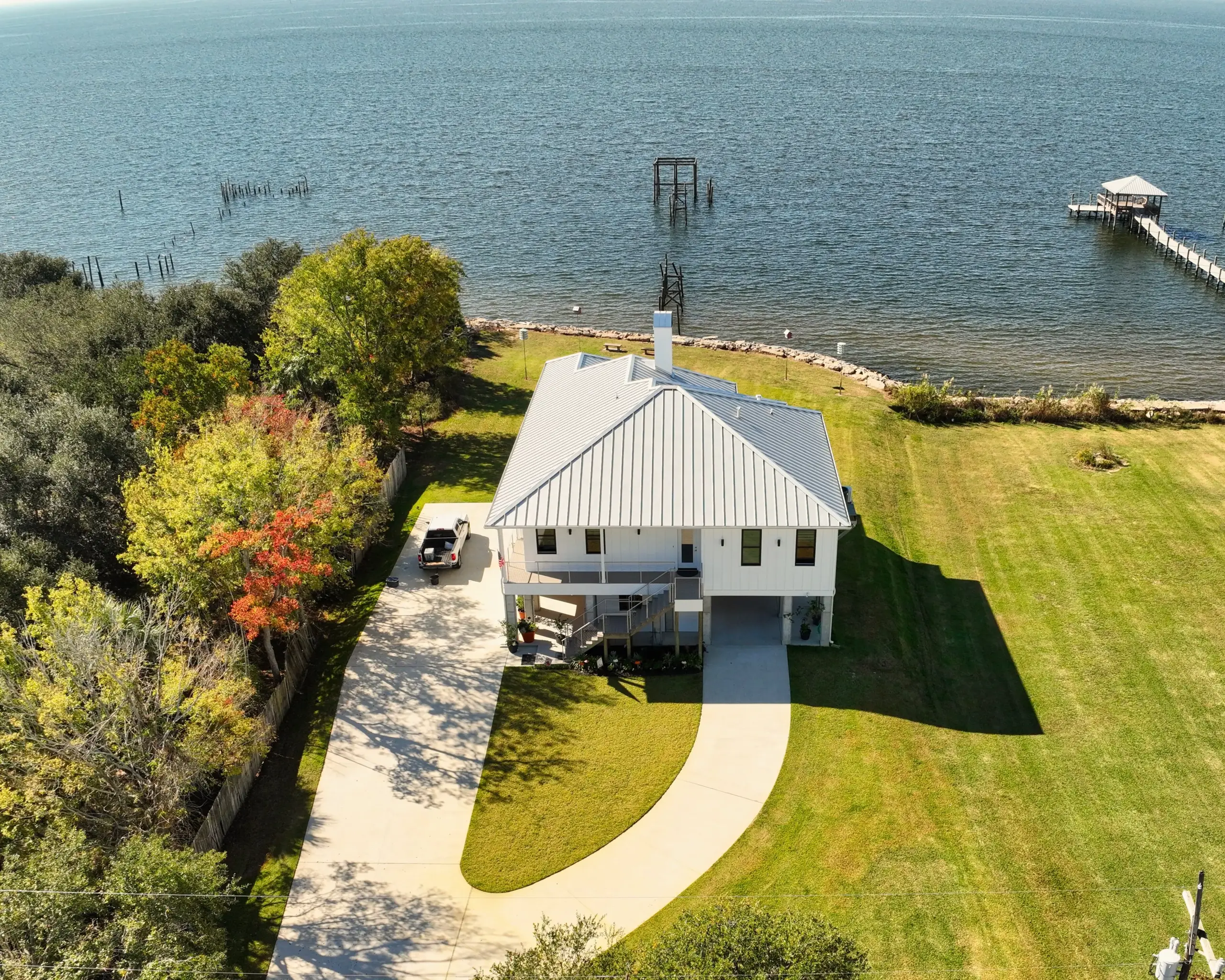
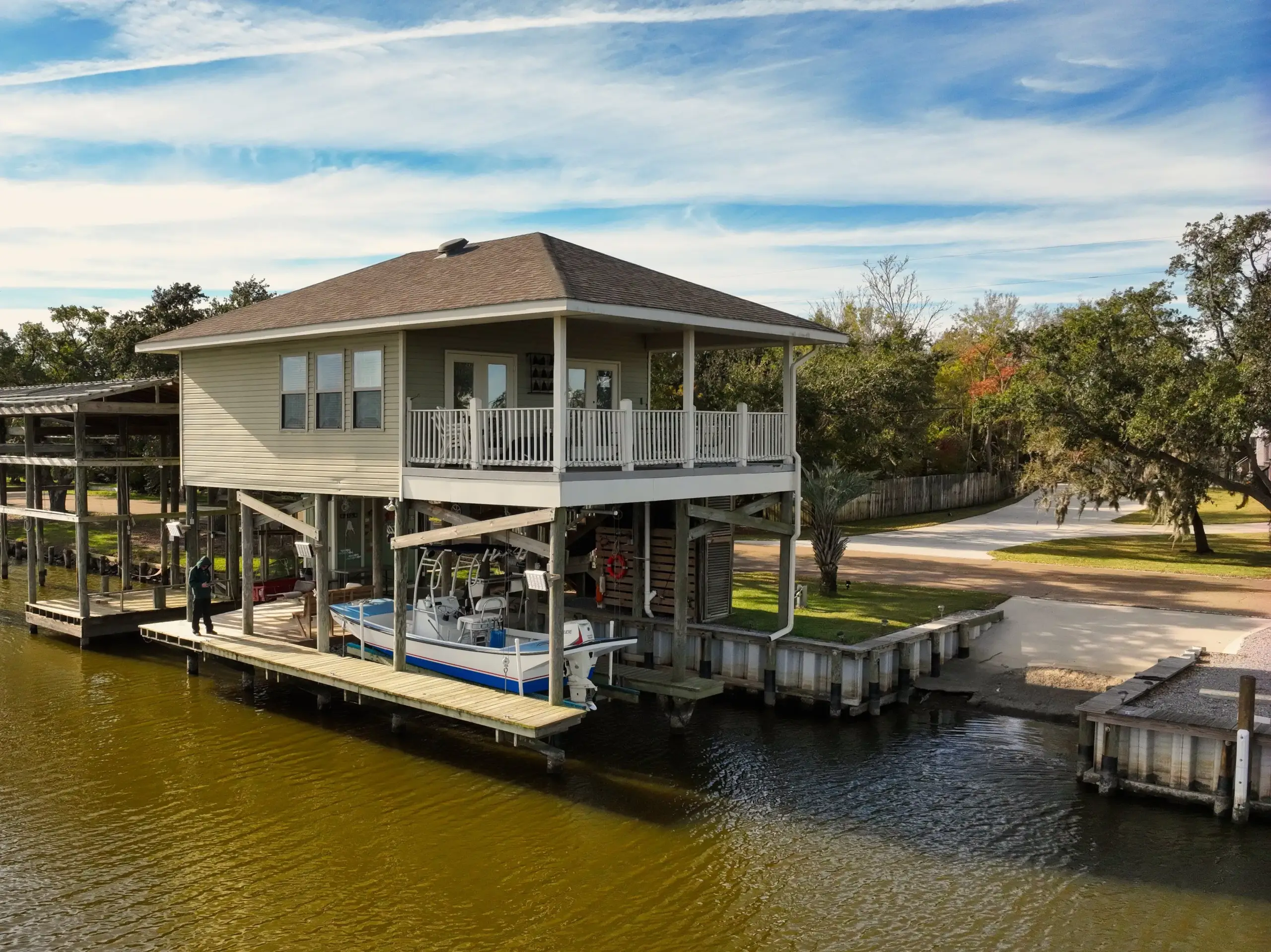
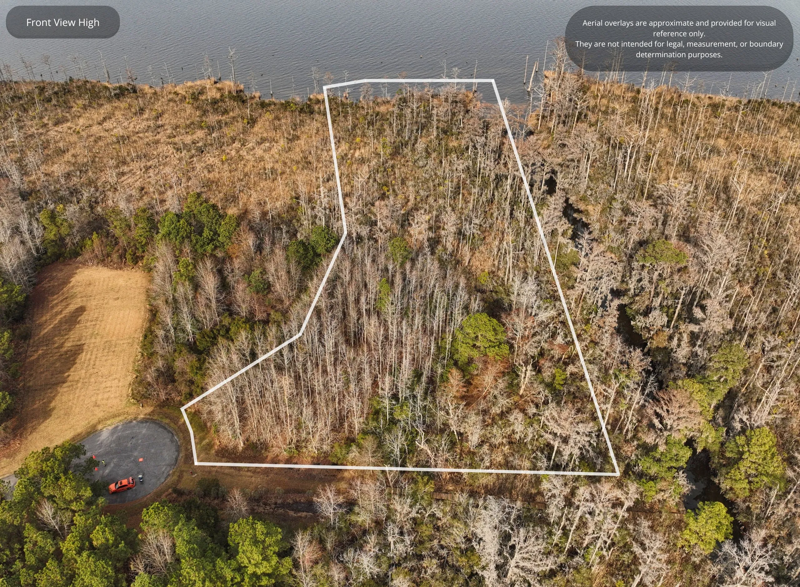
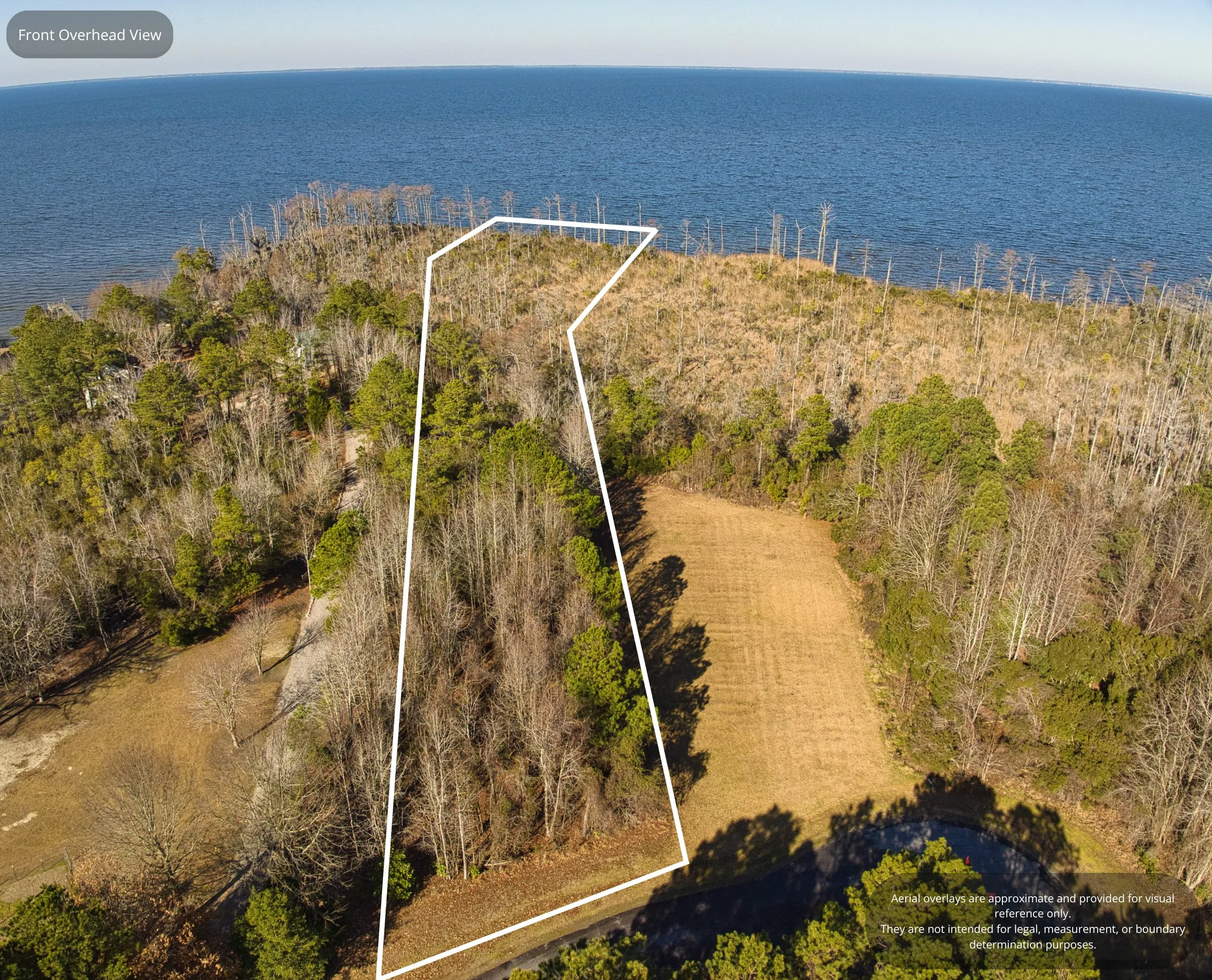
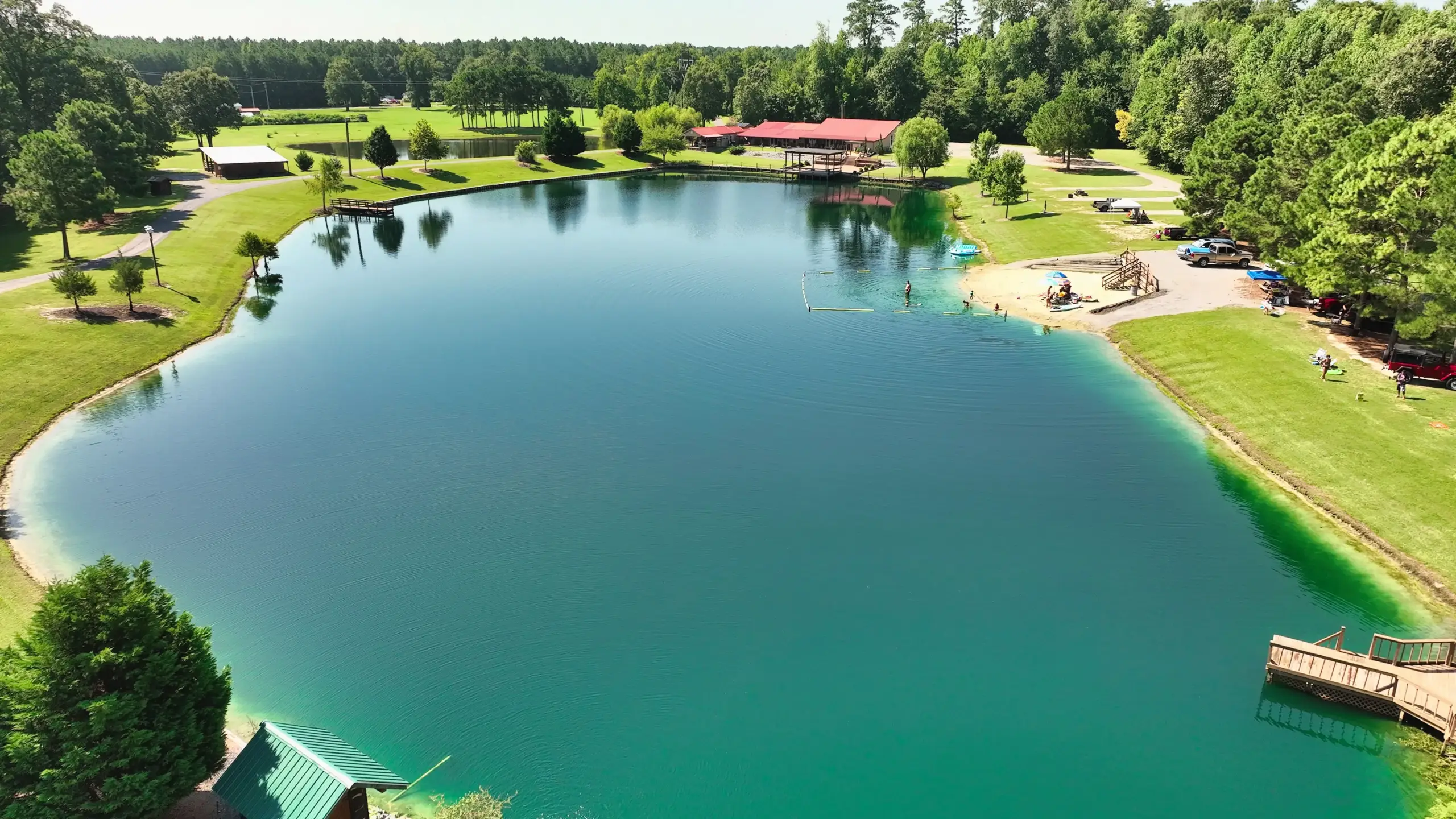
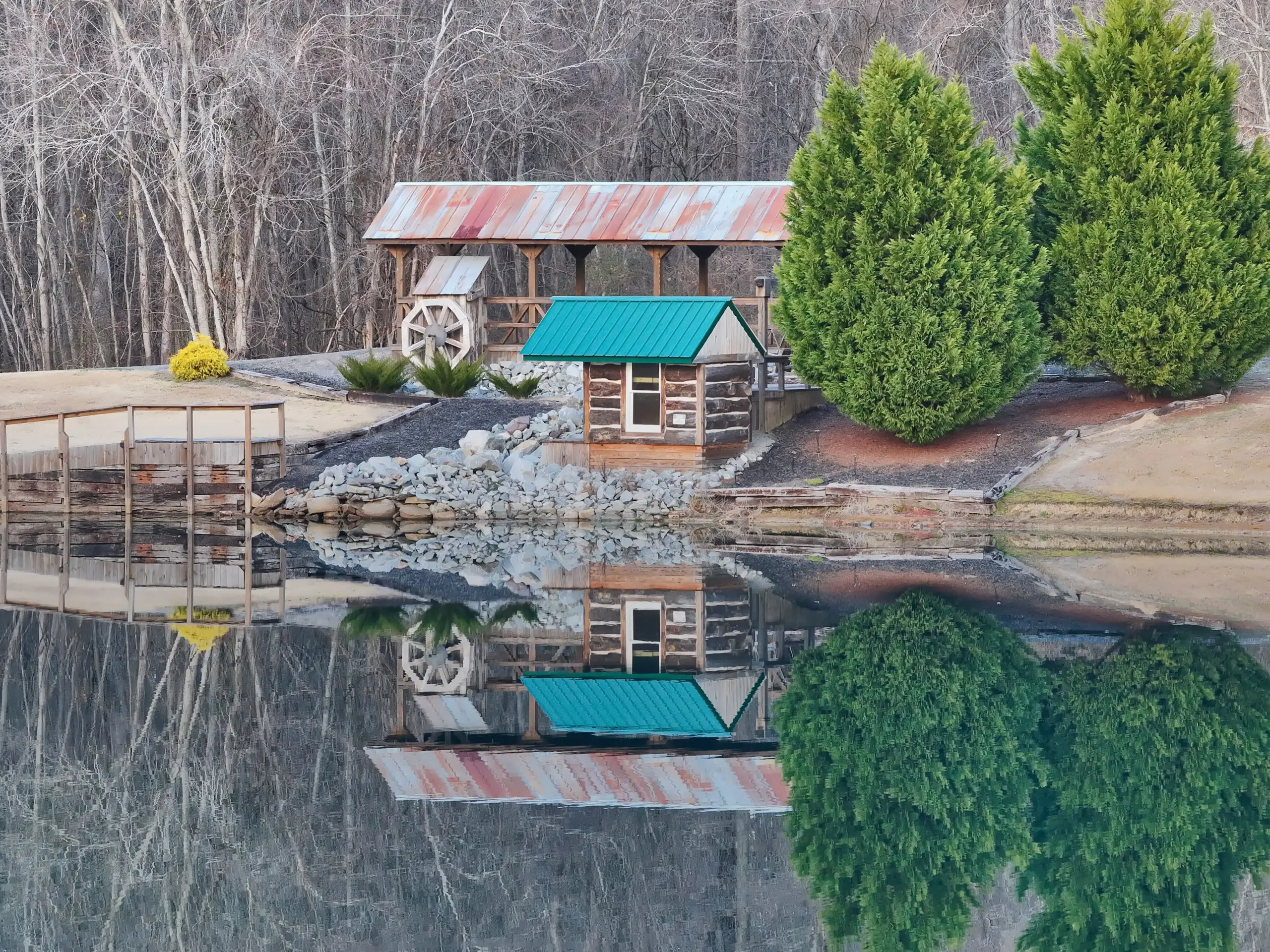
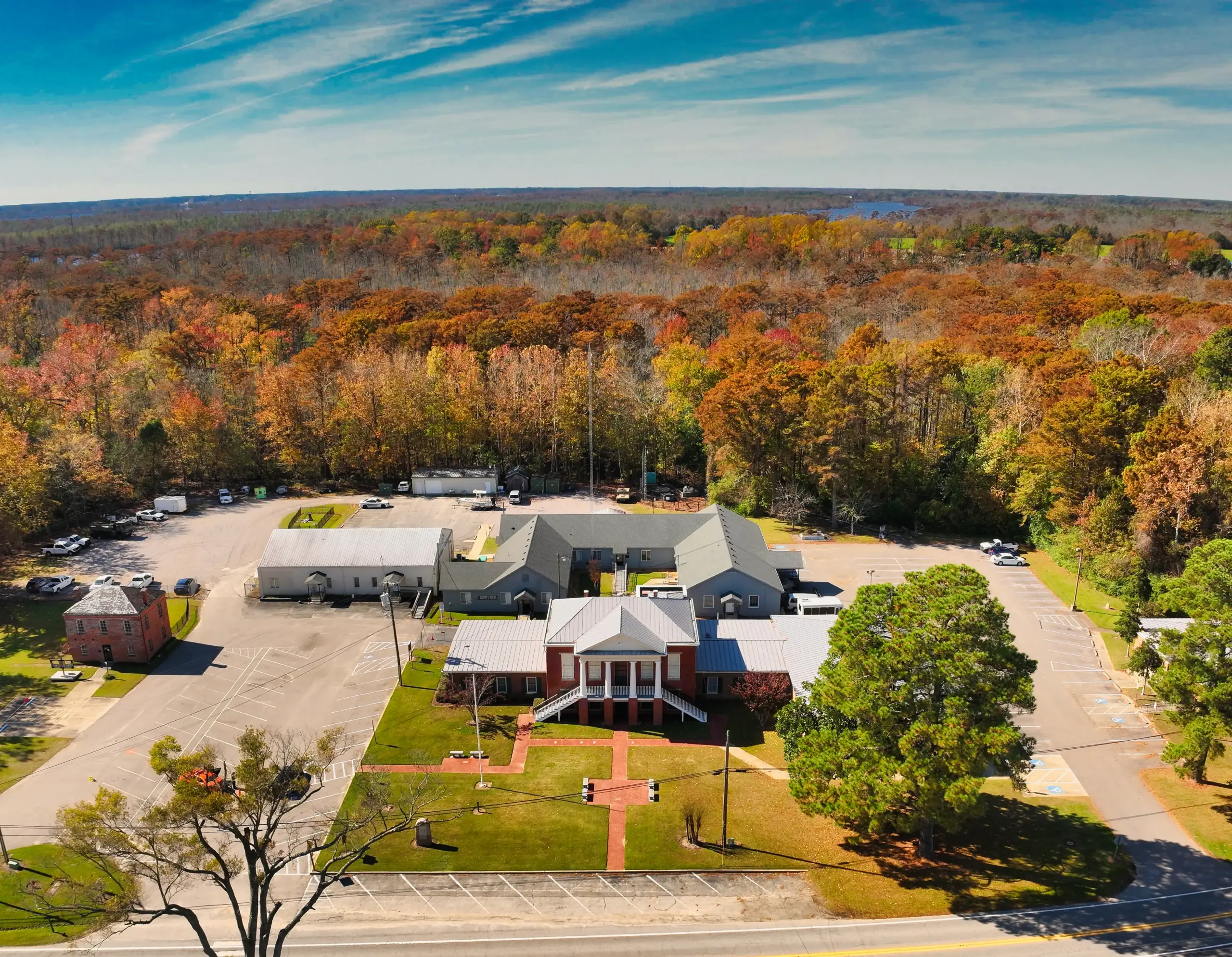
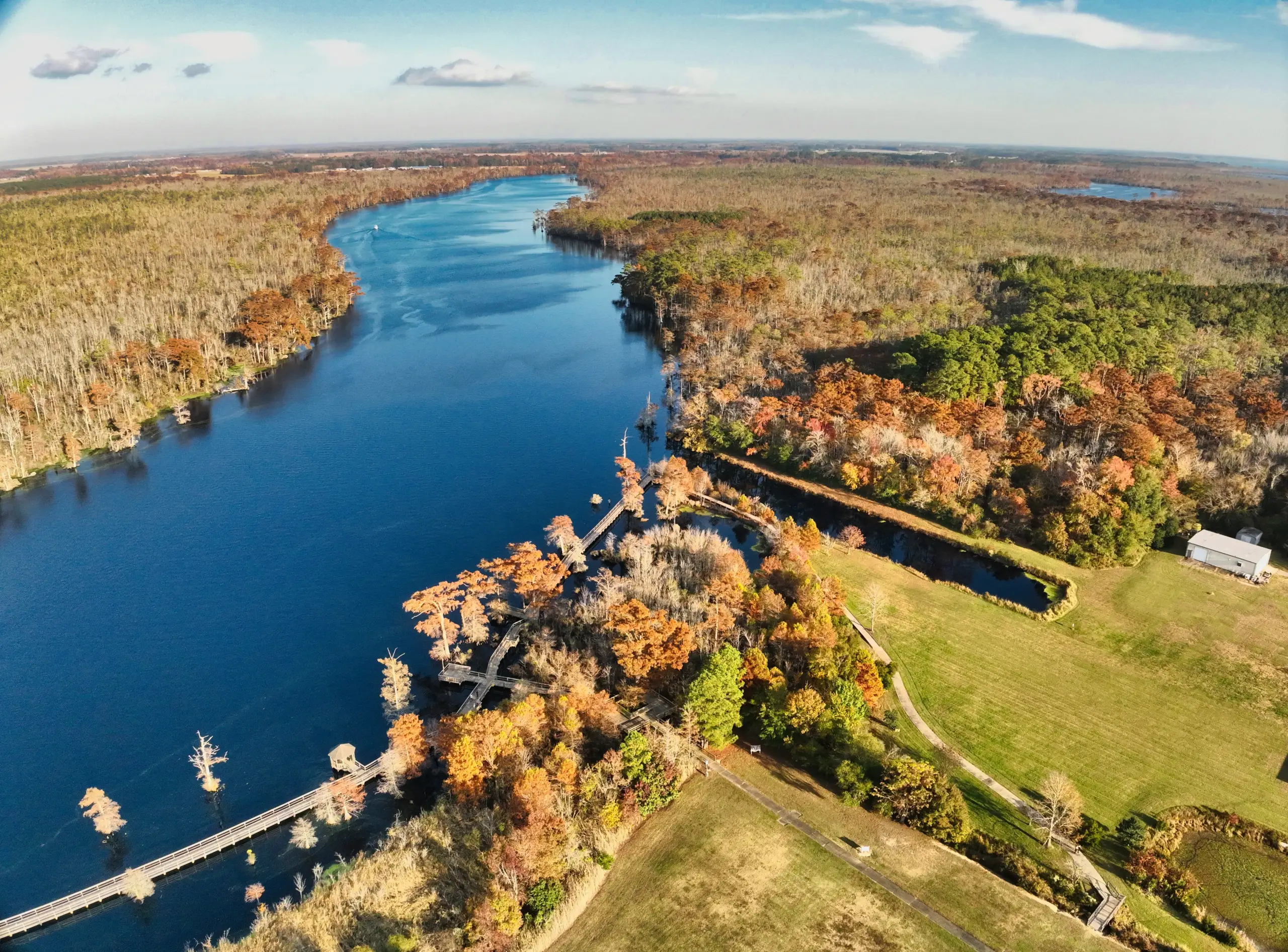
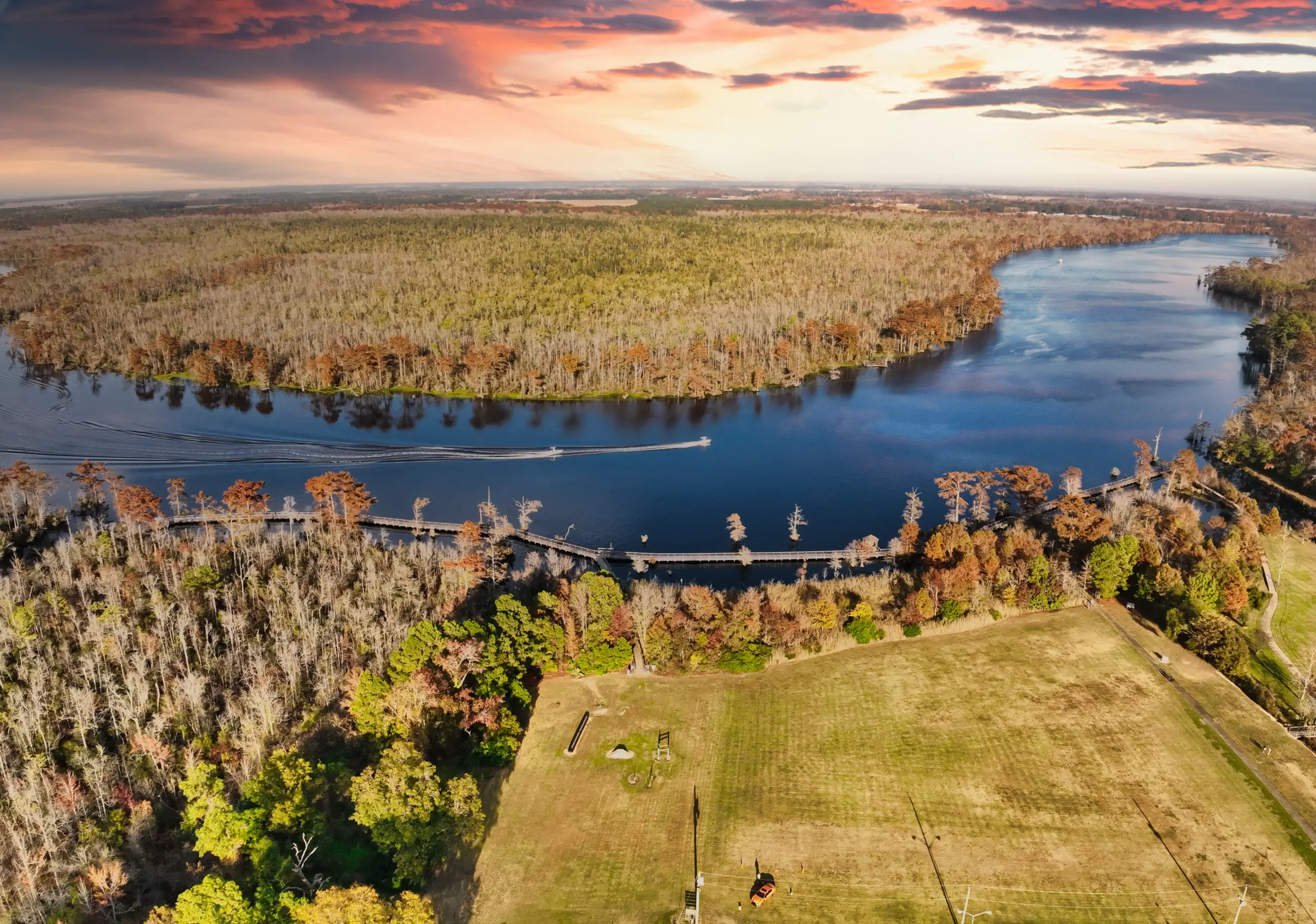
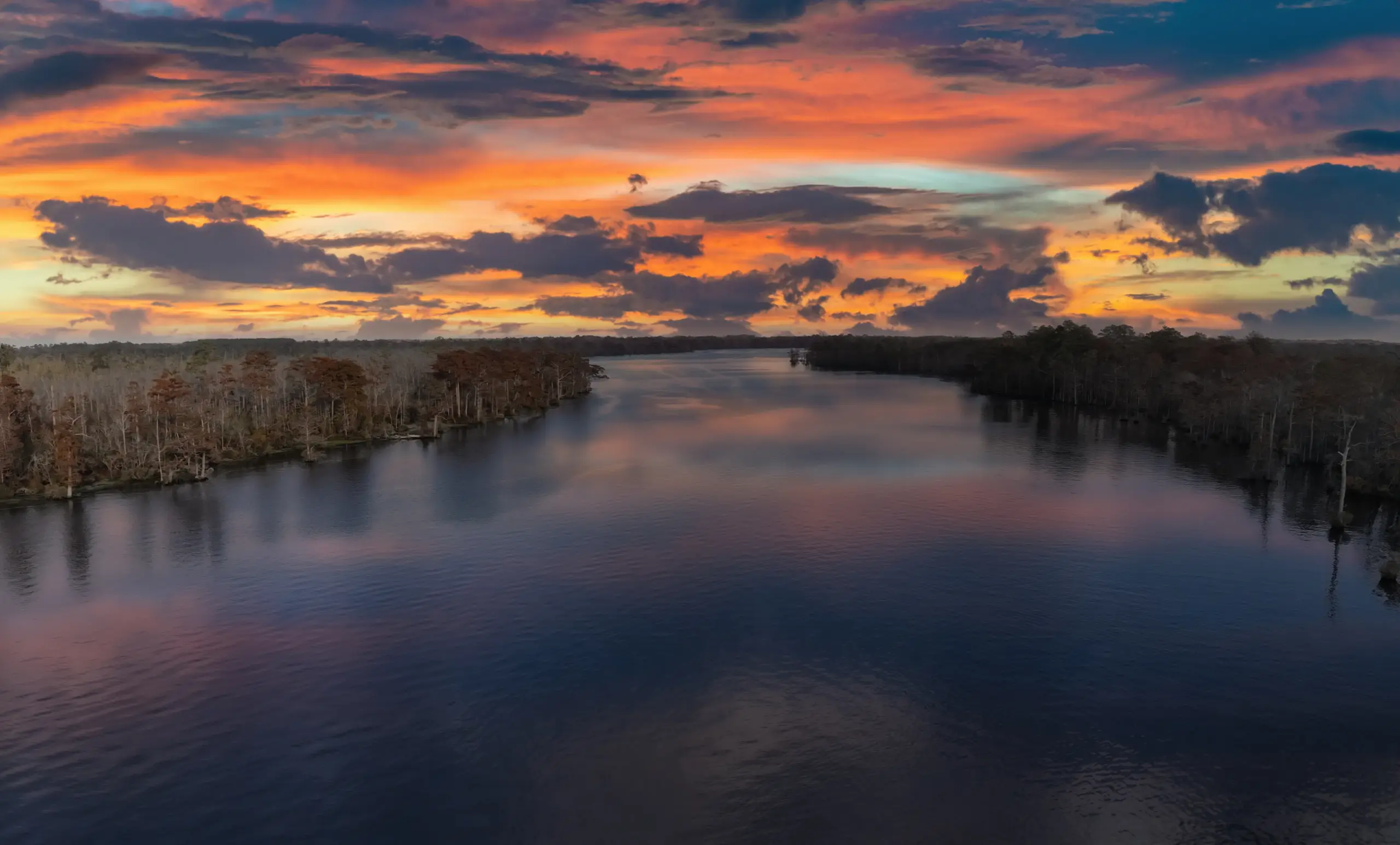
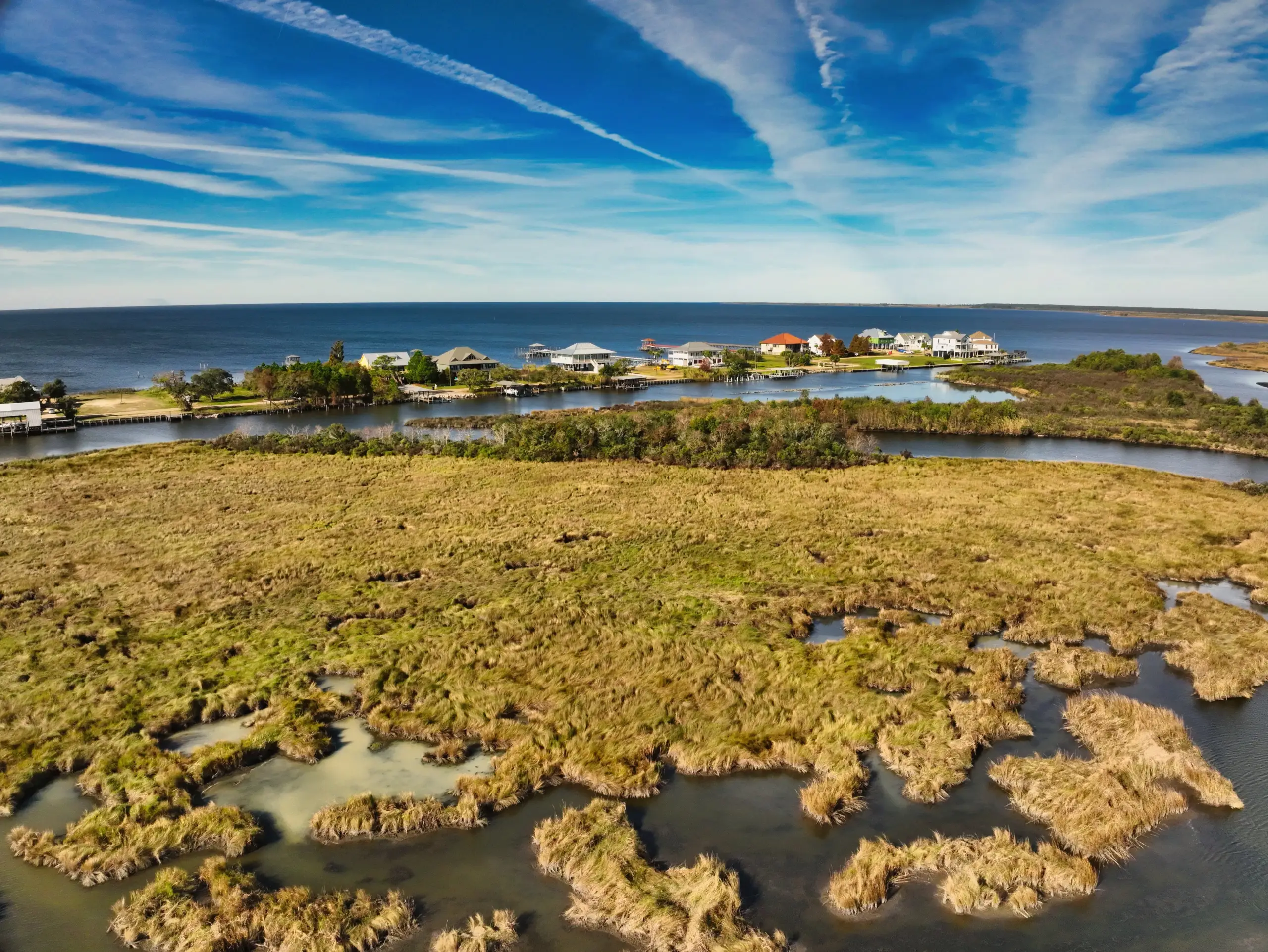
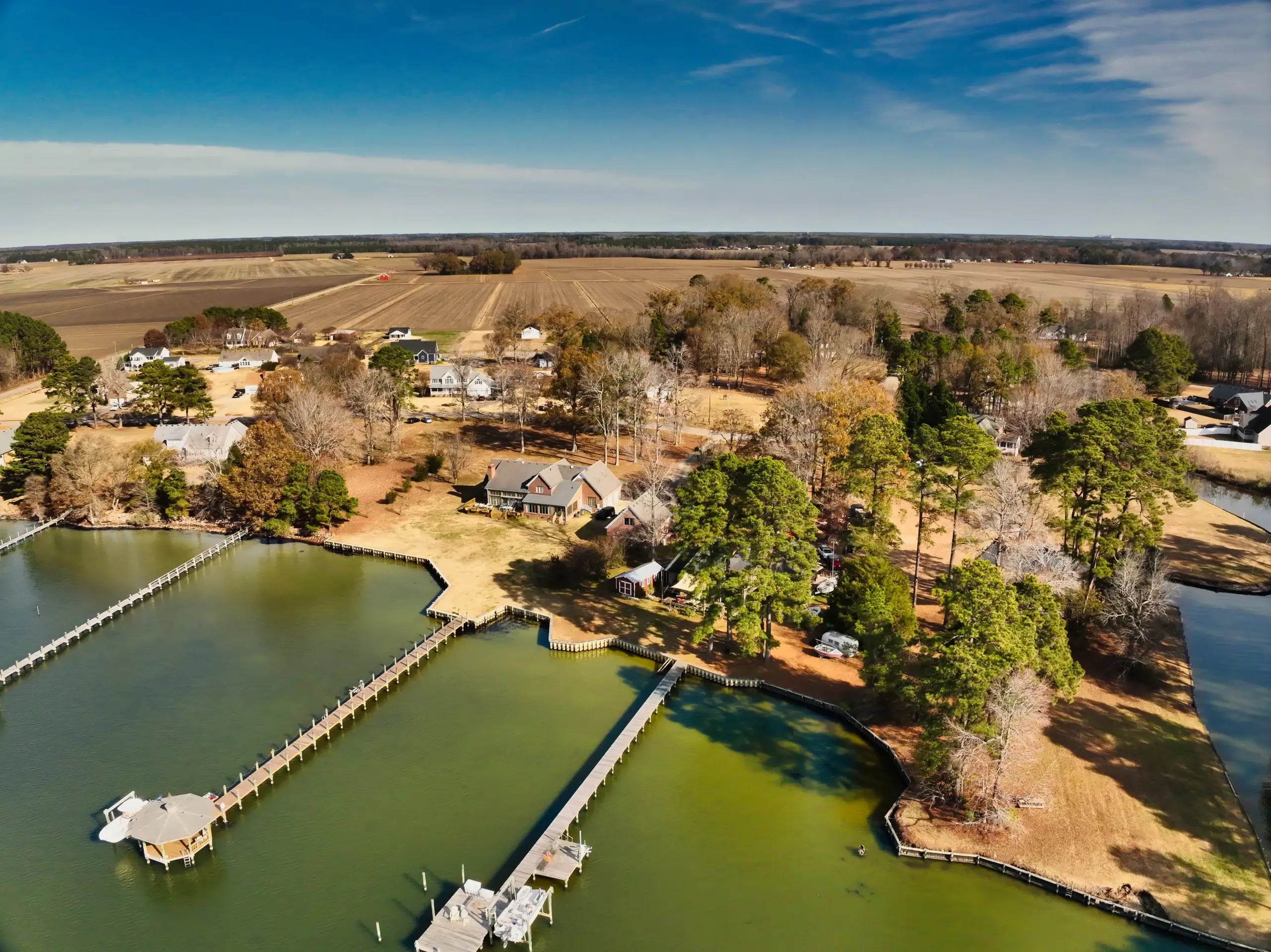
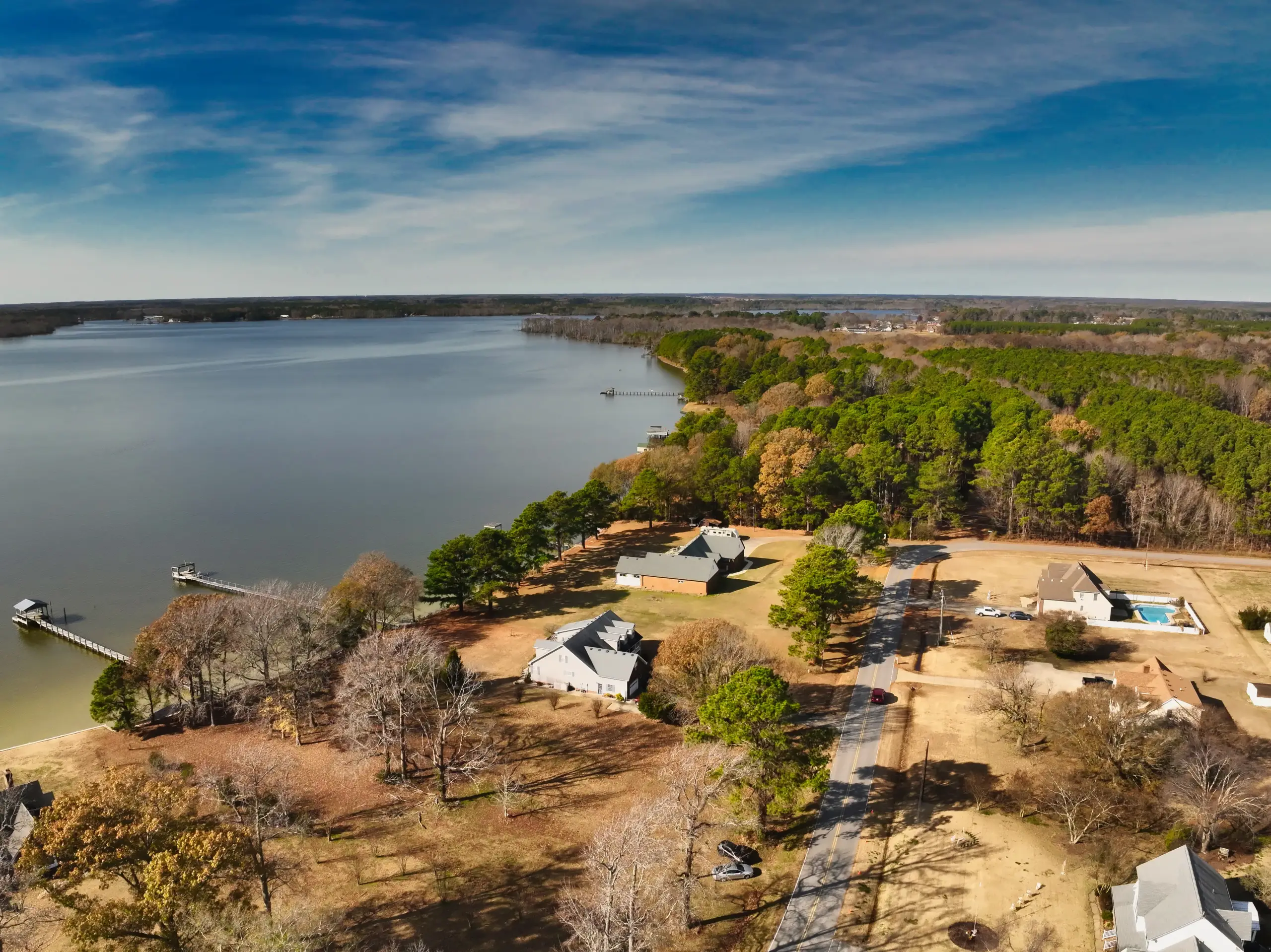
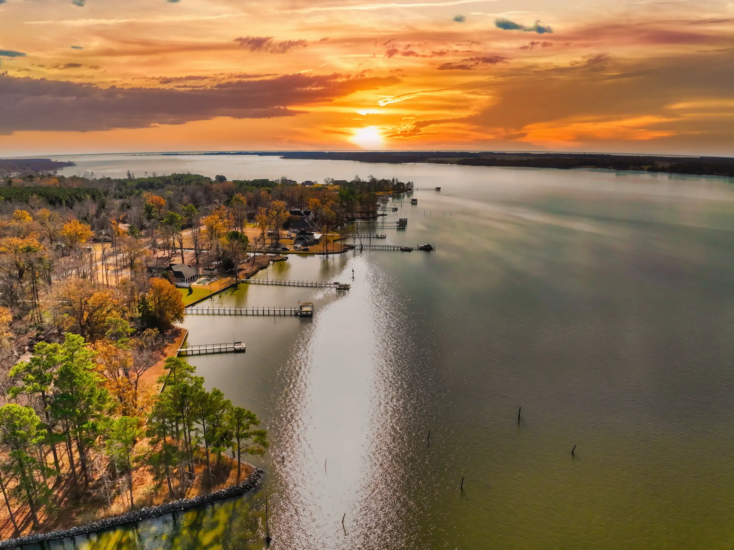
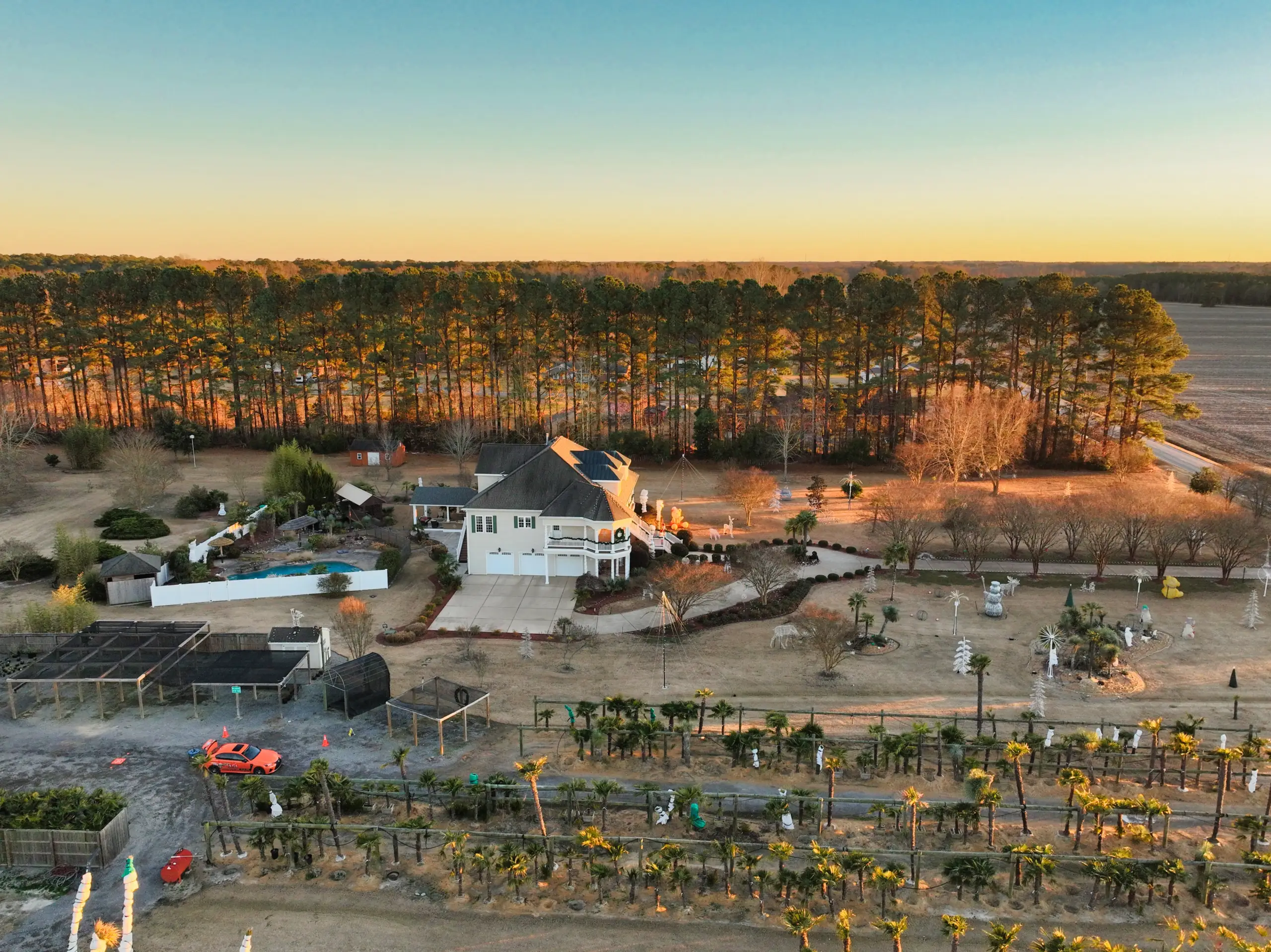
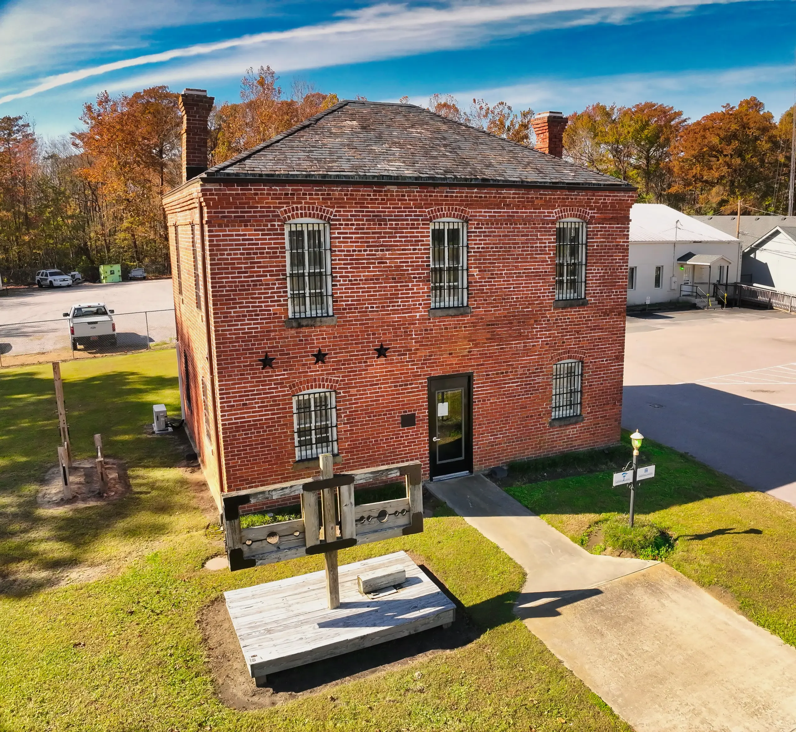
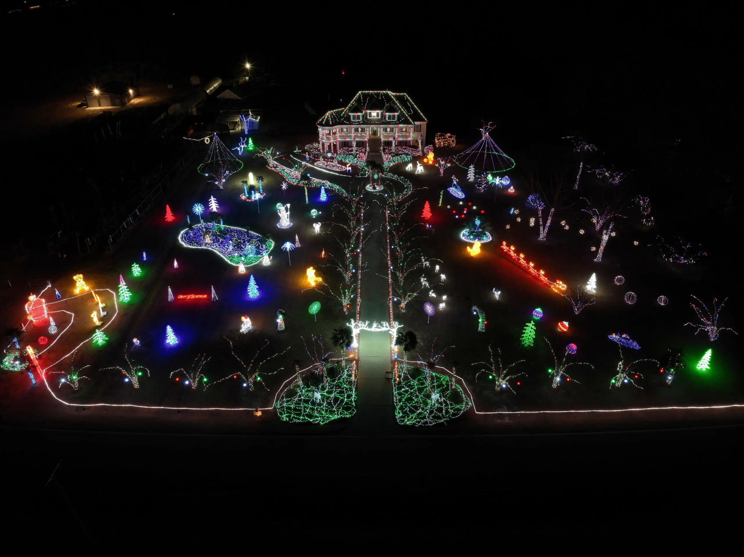
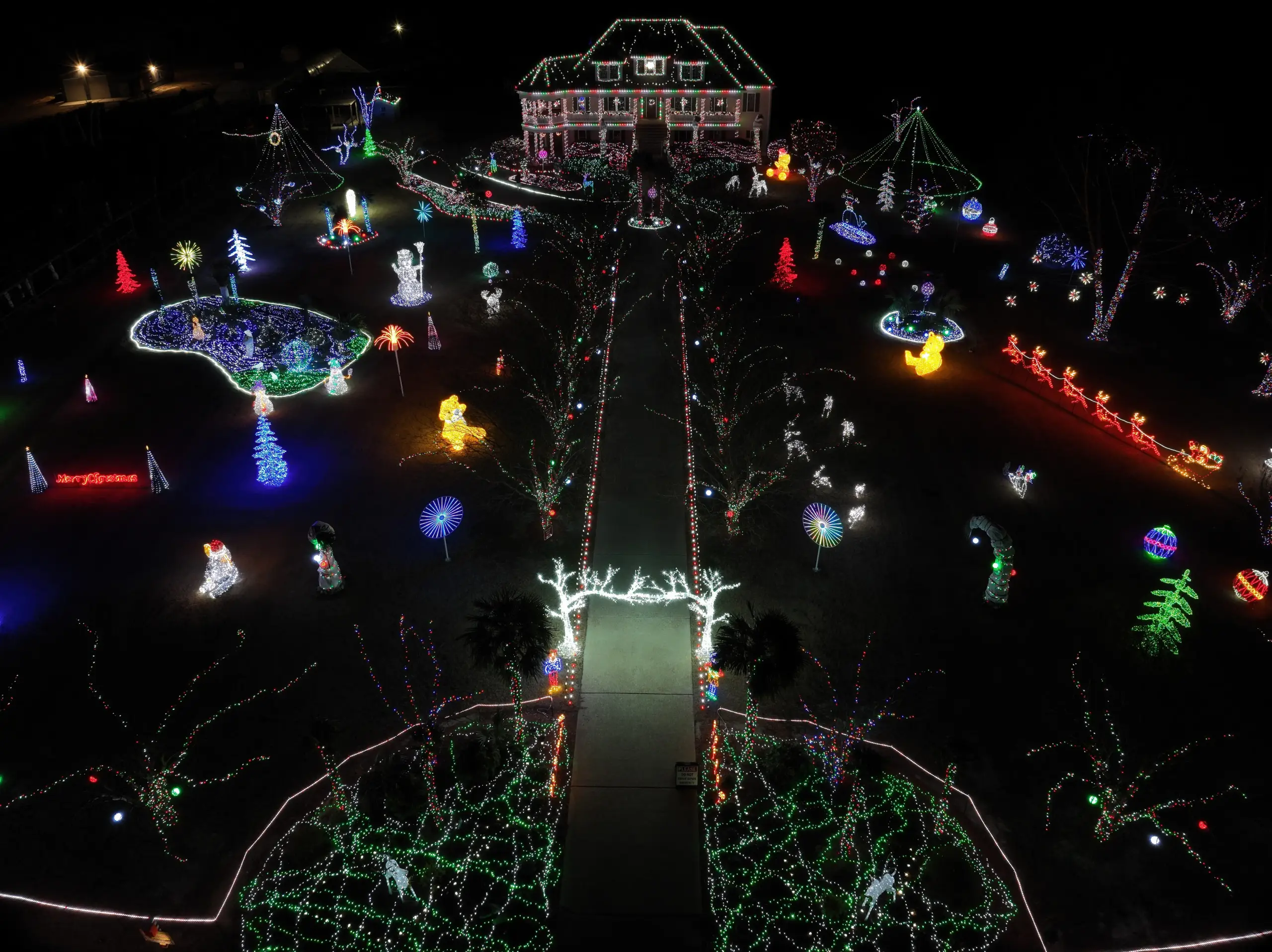
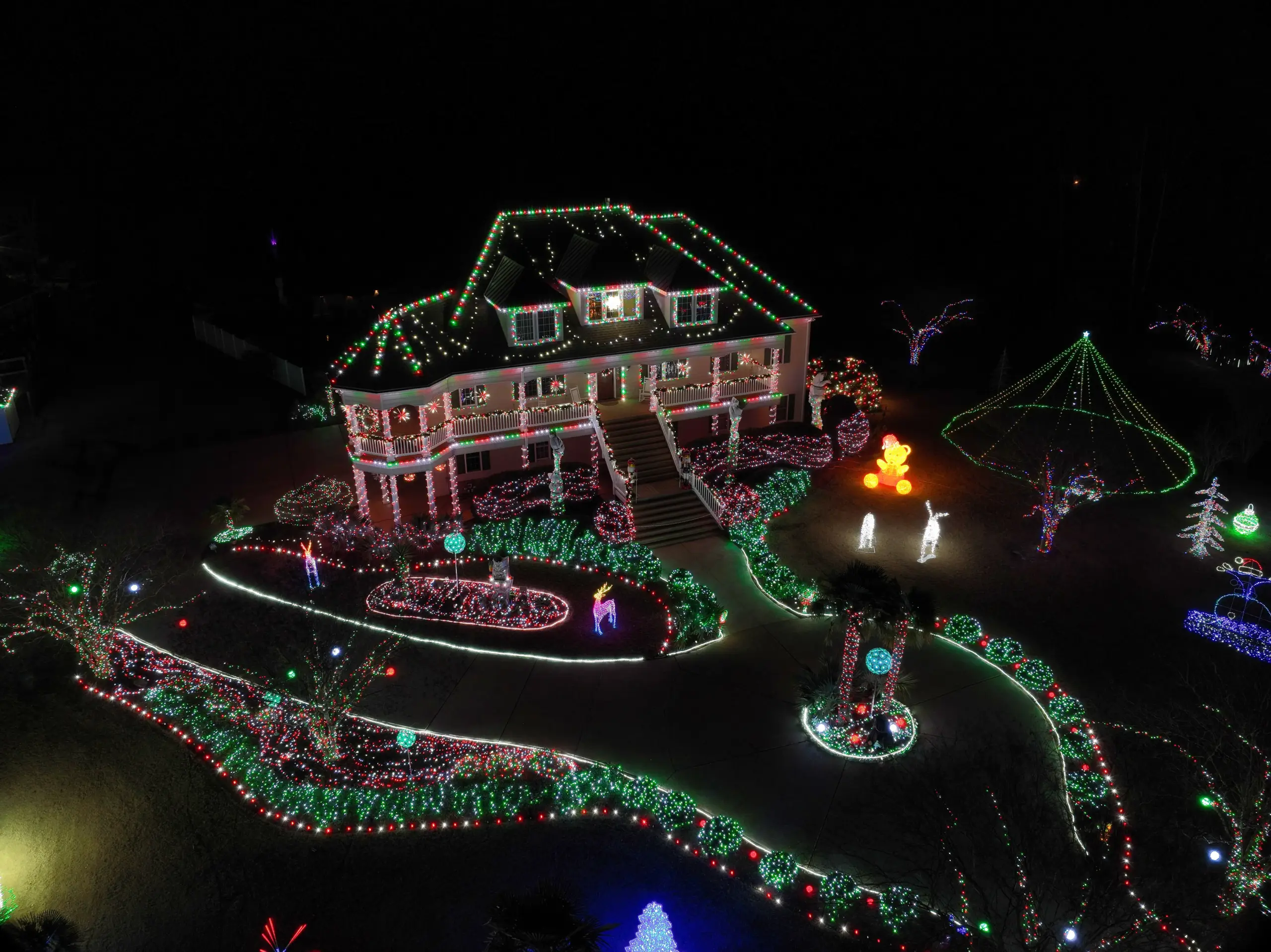
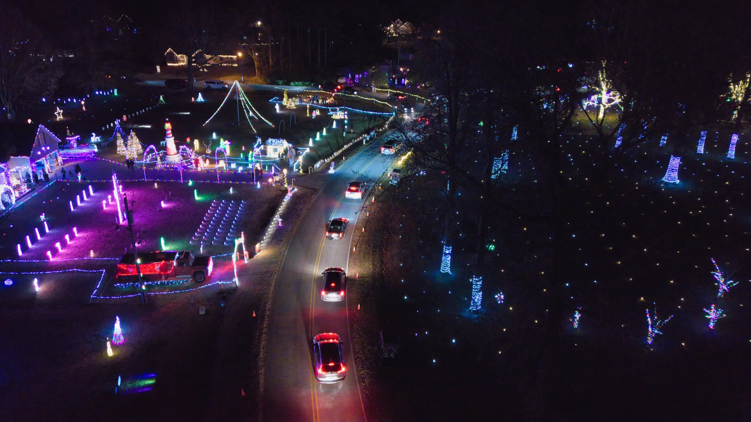
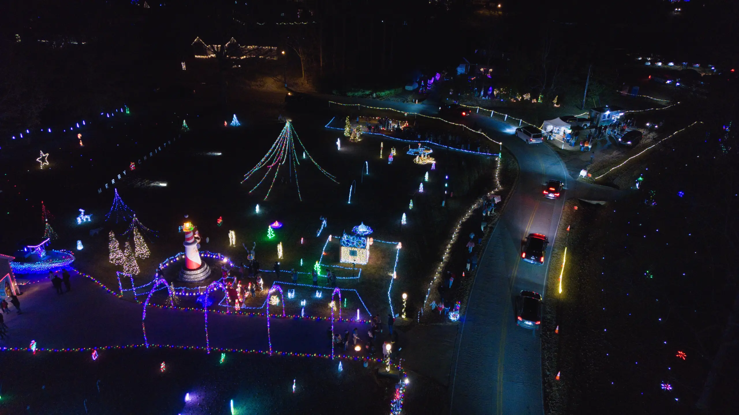
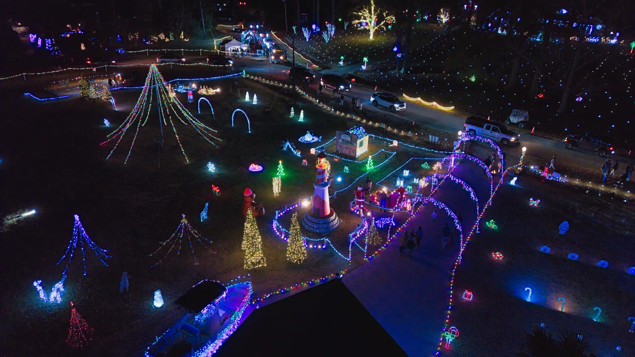
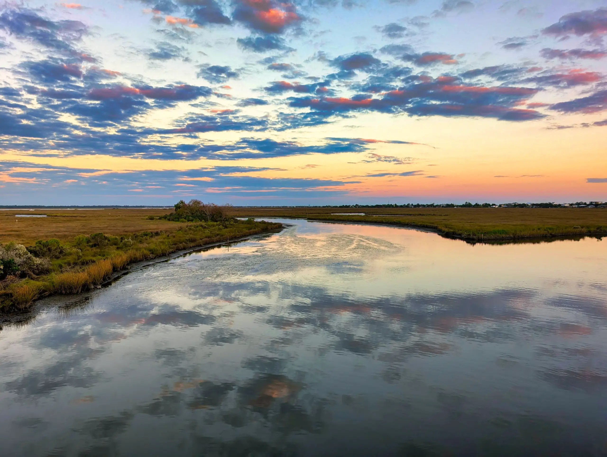
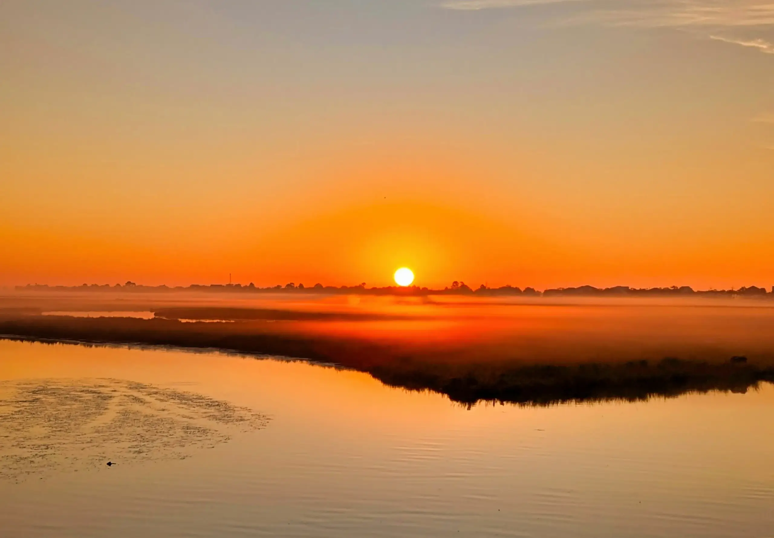
Professional aerial still imagery and video capture designed to visually document properties, sites, and environments from an elevated perspective. This deliverable emphasizes clarity, composition, and consistency to support presentation, documentation, and visual communication needs.
Aerial photography and videography provide a flexible visual overview that helps clients convey scale, context, surroundings, and relationships that are difficult to capture from the ground. Outputs may include high-resolution still images and short stabilized video segments, depending on project needs.
Common Uses
- Real estate and property marketing visuals
- Commercial and residential site overviews
- Construction progress and documentation imagery
- Event venues, parks, and public spaces
- Agricultural and land management visuals
- Community and nonprofit documentation
All aerial photography and videography outputs are provided for visual reference and documentation purposes only. This deliverable does not include measurements, boundary determinations, inspections, certified mapping, or surveying services. Clients should consult appropriately licensed professionals where required.
Videos
Visuals
For Reference and Communication Only
Start the Conversation
Call or Text: 252-621-3006
Email: info@agldroneimagery.com