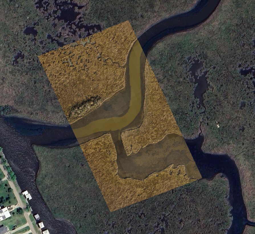
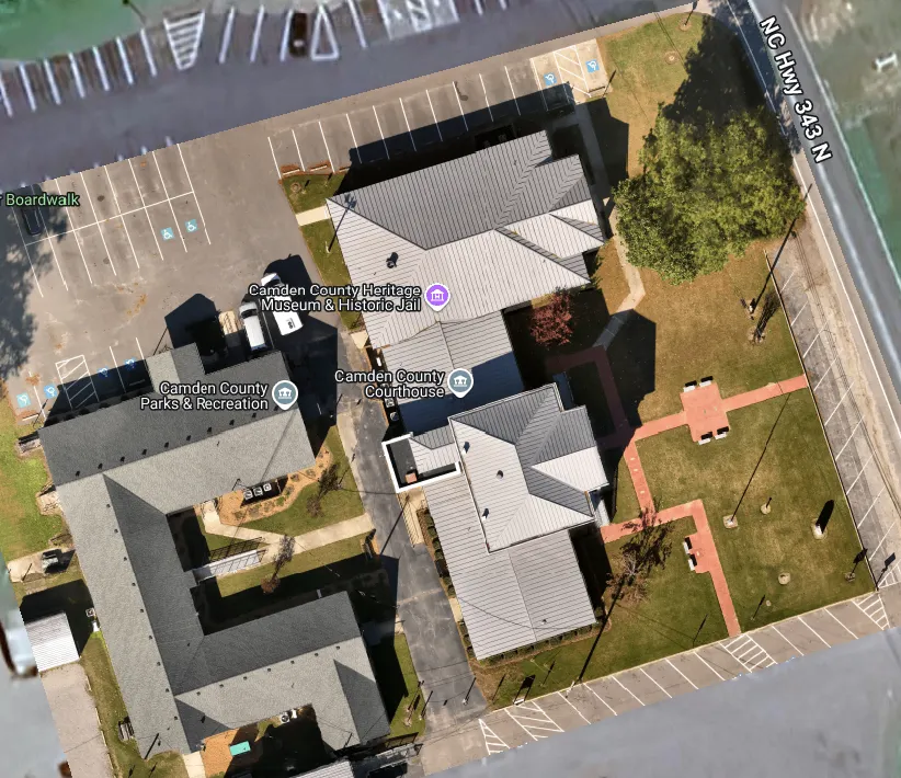
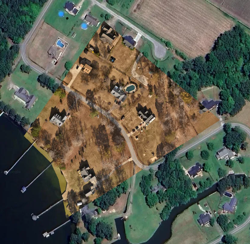
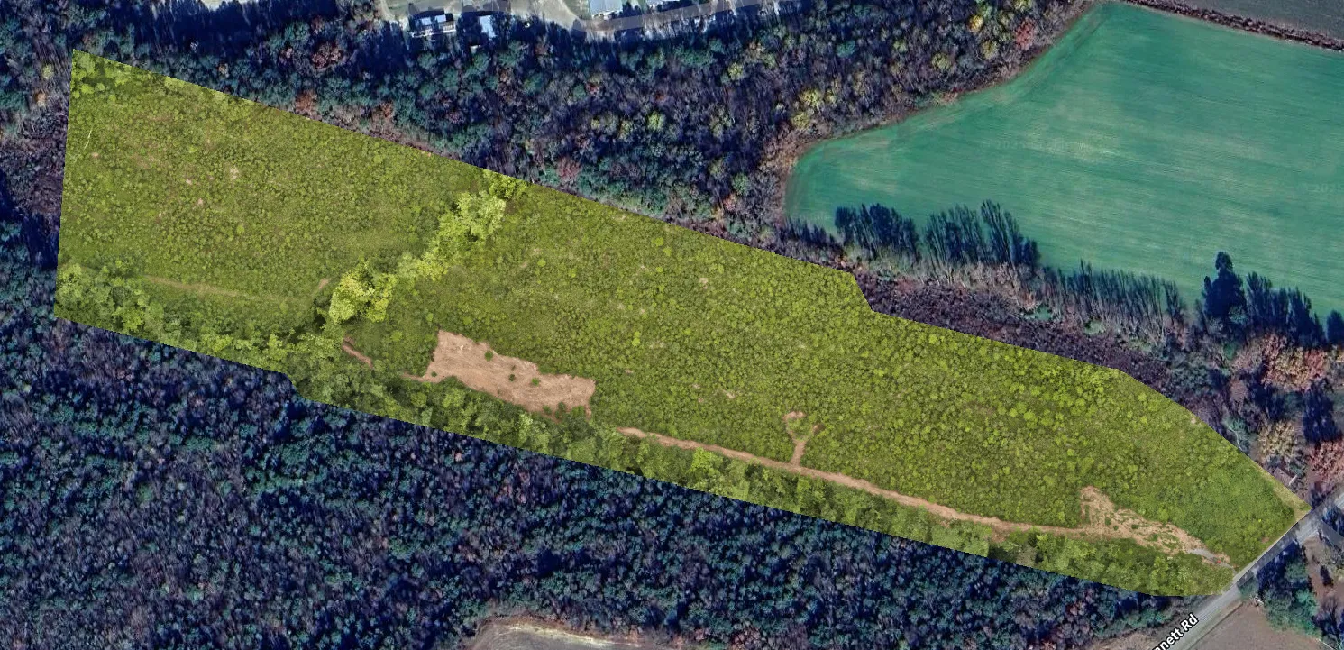
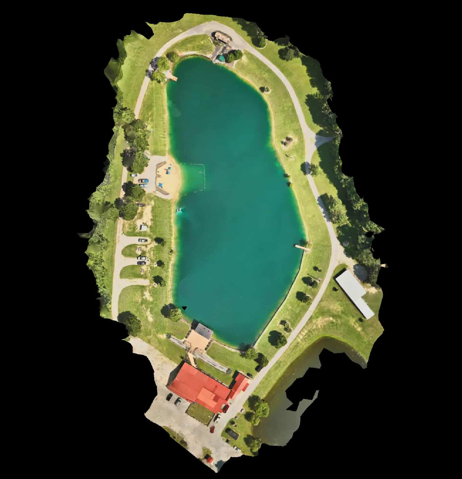
A high-resolution overhead aerial composite created by combining multiple overlapping images into a single, seamless site view. This deliverable provides consistent context across an entire area and supports side-by-side comparison over time.
Common Uses
Construction progress documentation
Large-site overview
Agricultural field documentation
Insurance claim and condition records
This imagery is provided for reference and documentation only and is not a survey, certified map, or boundary determination.
Fill out the short form or contact us directly.
Whether you’re planning a project, need documentation, or require time-sensitive support, this is simply a conversation to understand how AGL can help.
