Skip to content Skip to footer
Deliverables

What You Receive

3D SITE VISUALIZATION

Multi-angle aerial image capture processed into a three-dimensional visual representation of terrain or sites. This deliverable provides depth, perspective, and spatial context beyond a flat overhead view and supports improved interpretation of complex environments.

Common Uses

  • Uneven or complex terrain visualization
  • Industrial and commercial site documentation
  • Large properties where elevation changes affect understanding

Provided for visualization and documentation purposes only.

3D SITE VISUALIZATION

Videos

3D SITE VISUALIZATION

Interact with 3D Models

Visual Use Only

For Reference and Communication Only

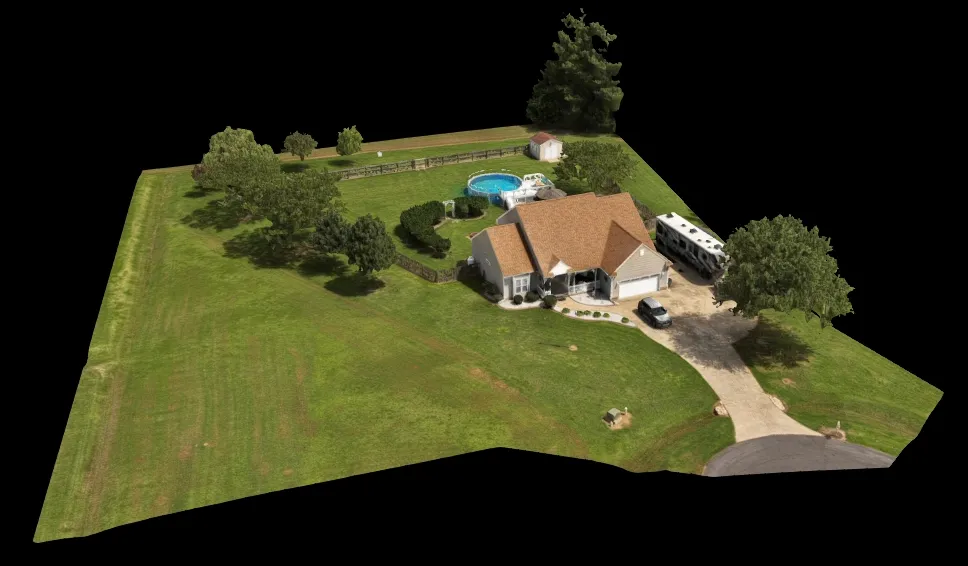
AGL Drone Imagery provides aerial visual documentation services only. Deliverables are provided for visual reference and communication purposes and do not constitute certified measurements, boundary determinations, surveying, engineering analysis, inspection reports, appraisal services, or claims adjustment.

Start The Conversation

Start the Conversation

Fill out the short form or contact us directly. Whether you’re planning a project, need documentation, or require time-sensitive support, this is simply a conversation to understand how AGL can help.

 Call or Text: 252-621-3006