Deliverables
What You Receive
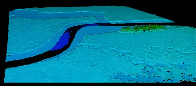
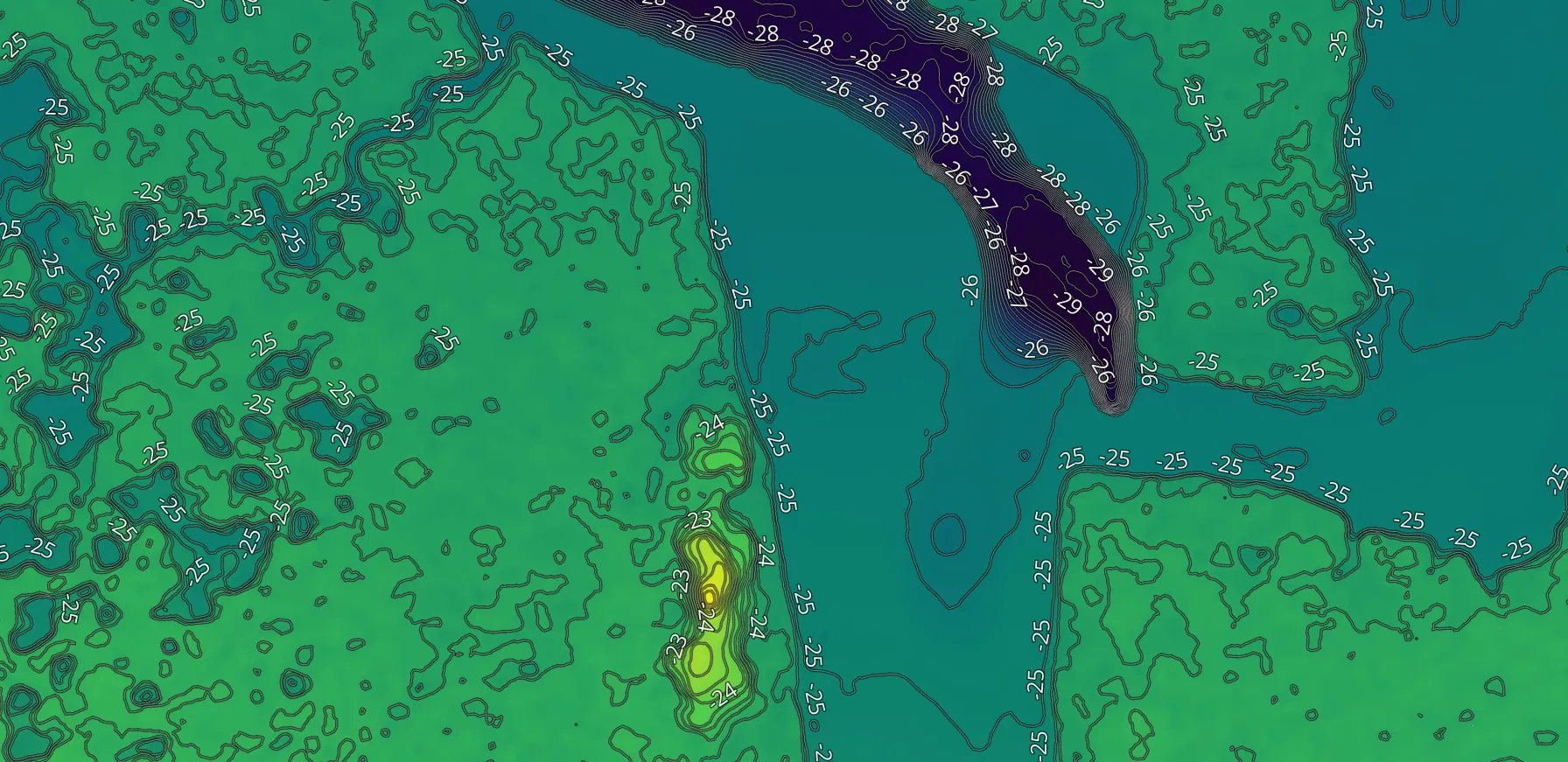
ELEVATION & CONTOUR VISUALIZATIONS
Terrain-focused visual representations illustrating relative elevation change, slope patterns, and surface behavior to support planning discussions and documentation workflows.
Common Uses
- Drainage pattern visualization
- Earthwork planning support
- Agricultural land assessment visuals
- Large-property terrain understanding
These outputs are visual representations only and are not certified elevation models or survey products.
ELEVATION VISUALIZATIONS & CONTOUR REPRESENTATIONS
Videos
ELEVATION VISUALIZATIONS & CONTOUR REPRESENTATIONS
Visuals
Visual Use Only
For Reference and Communication Only
AGL Drone Imagery provides aerial visual documentation services only. Deliverables are provided for visual reference and communication purposes and do not constitute certified measurements, boundary determinations, surveying, engineering analysis, inspection reports, appraisal services, or claims adjustment.
Start the Conversation
Fill out the short form or contact us directly.
Whether you’re planning a project, need documentation, or require time-sensitive support, this is simply a conversation to understand how AGL can help.
Call or Text: 252-621-3006
Email: info@agldroneimagery.com