
Thermal Imaging & Infrared Data
Thermal imaging provides a powerful additional layer of information by revealing temperature differences that are often invisible to the naked eye. When combined with high-resolution visual imagery, thermal data can help identify moisture intrusion, energy loss, electrical hotspots, solar panel anomalies, equipment stress, and other conditions that may require further evaluation.
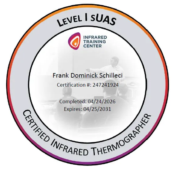
By visualizing heat patterns from a safe distance, thermal imaging can improve situational awareness, reduce inspection time, support maintenance planning, and help clients make more informed decisions. AGL Drone Imagery's thermal services are supported by Level I sUAS Thermography Certification through the Infrared Training Center (ITC).
Common Uses
• Roof, building, and energy loss documentation
• Moisture intrusion and insulation irregularity identification
• Solar panel performance assessment and hotspot detection
• Electrical equipment and infrastructure monitoring
• Agricultural crop stress and irrigation pattern visibility
• Livestock and wildlife detection
• Search and recovery support in low-light environments
Thermal imagery identifies temperature differences and thermal patterns that may indicate areas requiring further evaluation. Thermal observations are provided for informational and documentation purposes only and do not constitute engineering analysis, code compliance determinations, licensed inspections, or professional diagnoses.
Thermal Imaging
What Heat Reveals
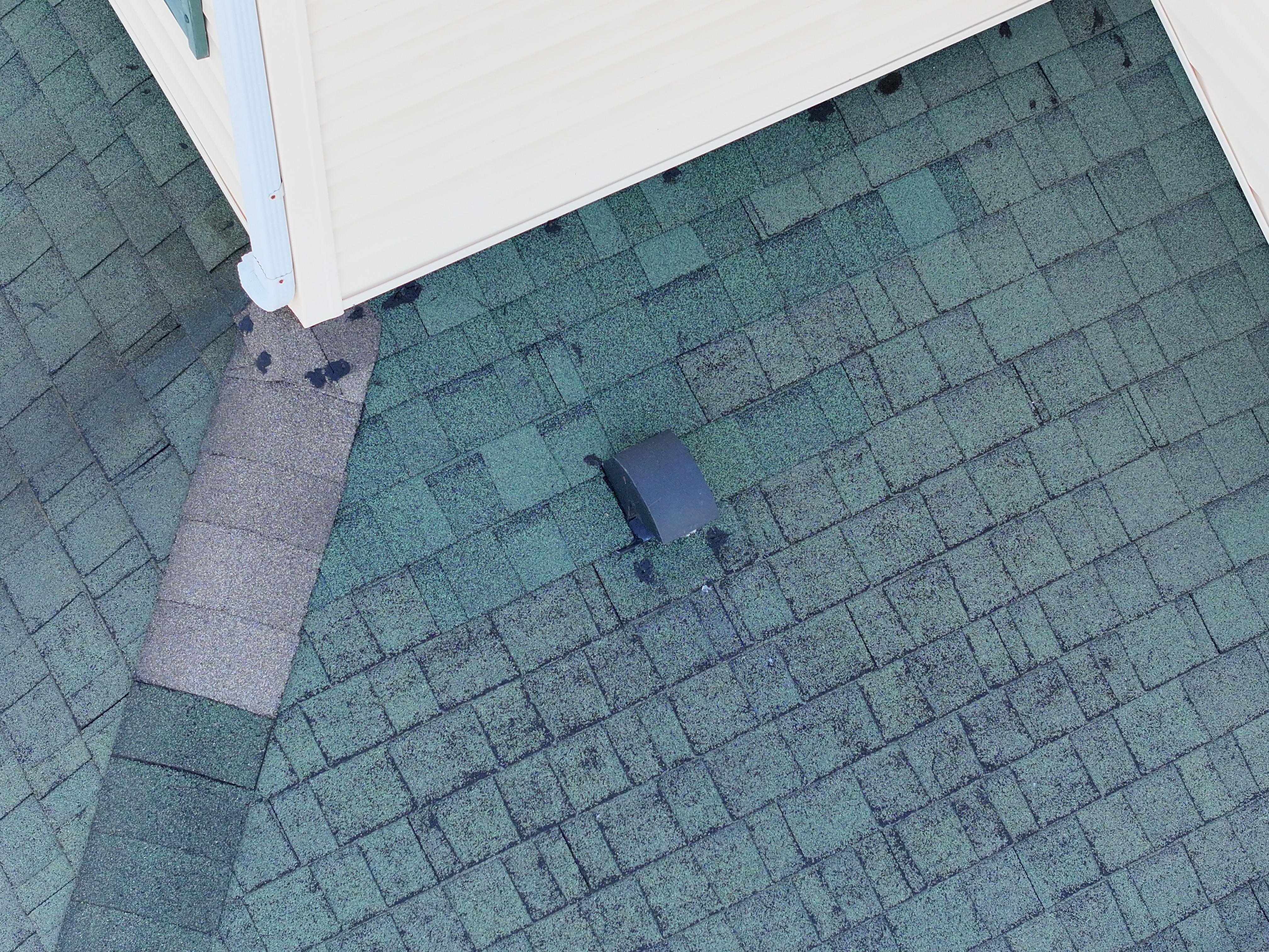
No Visible Roof Issues
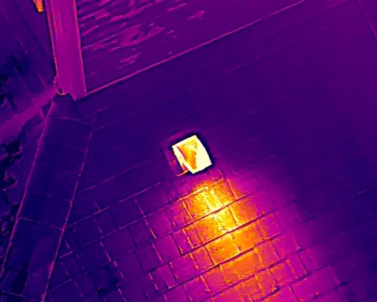
Heat Loss At Roof Vent
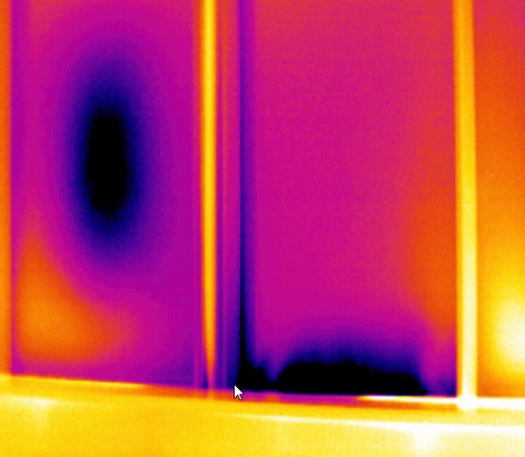
Window Heat Loss Issues
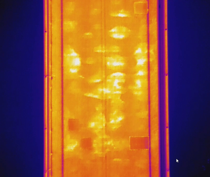
Moisture Under Concrete
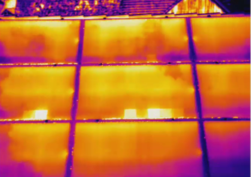
Solar Panel hot spot
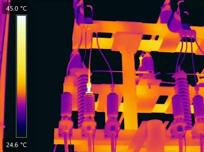
Electrical Connection Overheating
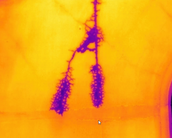
Irrigation Leak Detected
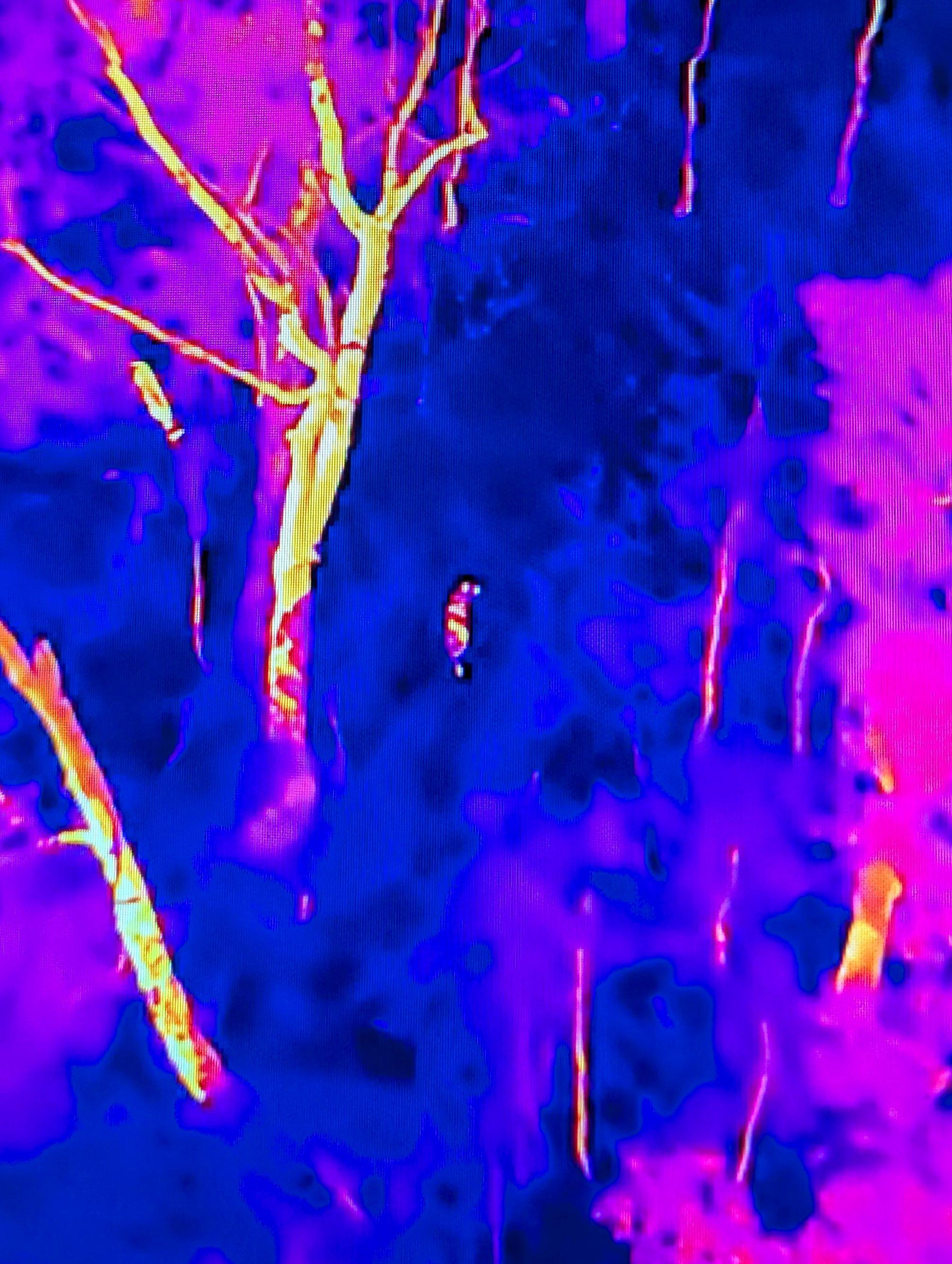
Heat Signature Location
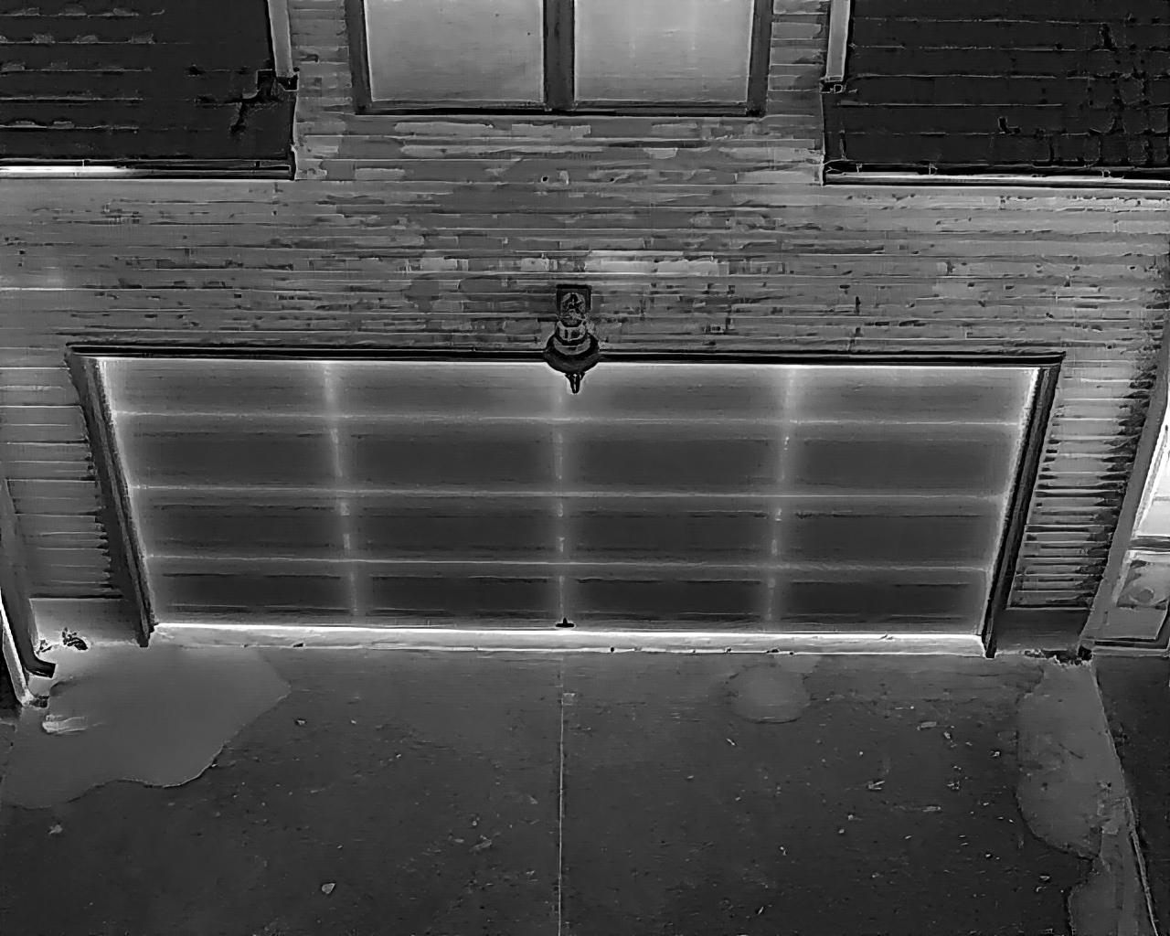
Heat Loss & Subsurface Moisture
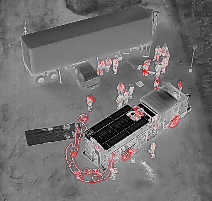
Public Safety Thermal Support
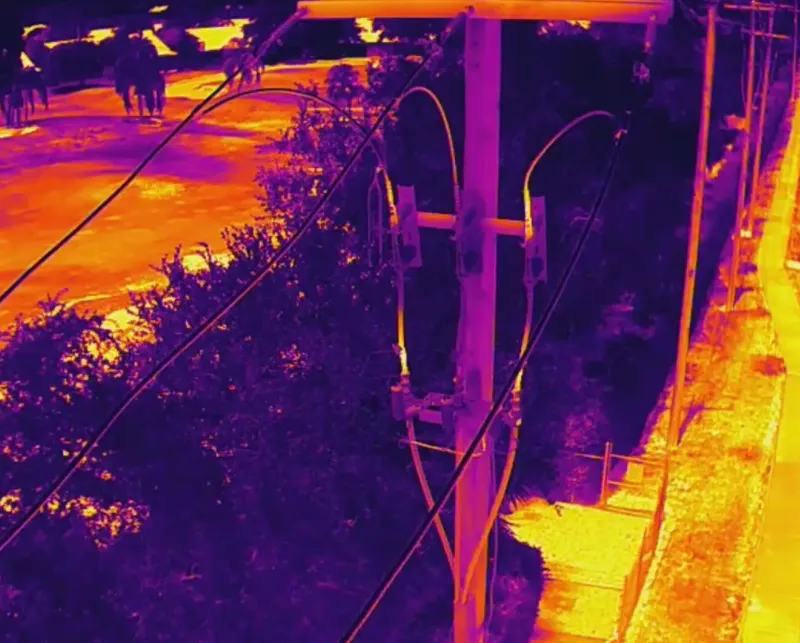
Electrical System Heat Anomaly
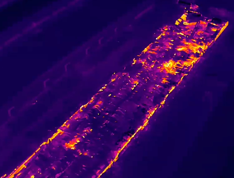
Active Fire Thermal Assessment
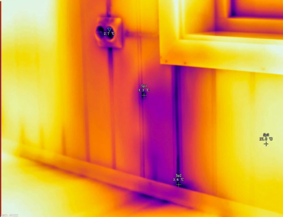
Wall Insulation Deficiency
Start The Conversation
Let's Solve Your Problem
From Above
Whether you need answers on a property, documentation for a project, or fast-response aerial support, AGL provides clear, actionable visual data to help you make decisions with confidence.
From thermal anomalies to site conditions and progress tracking, this is where we identify what matters and show you what others can’t see.
Call or Text: 252-621-3006
Email: [email protected]
Reducing Risk. Saving Time.
Delivering Clarity

Elizabeth City, North Carolina
Contact Us
License & Certifications
 Veteran-Owned Business
 FAA Part 107 Certified UAS Pilot
 FAA-Certificated Airframe & Powerplant (A&P) Mechanic
 FCC Licensed
 AGL Drone Imagery LLC does not provide licensed land surveying or certified measurement services.
- 🌡️ Level I UAS Thermography Certification – Infrared Training Center (FLIR)
- ⚓ U.S. Coast Guard Auxiliary – Remote Pilot in Command (Operational Support)
- DJI Enterprise Platform Experience (Matrice Series)
© Copyright 2026. All rights reserved. Website by Vareweb.