
Agriculture & Land
Management
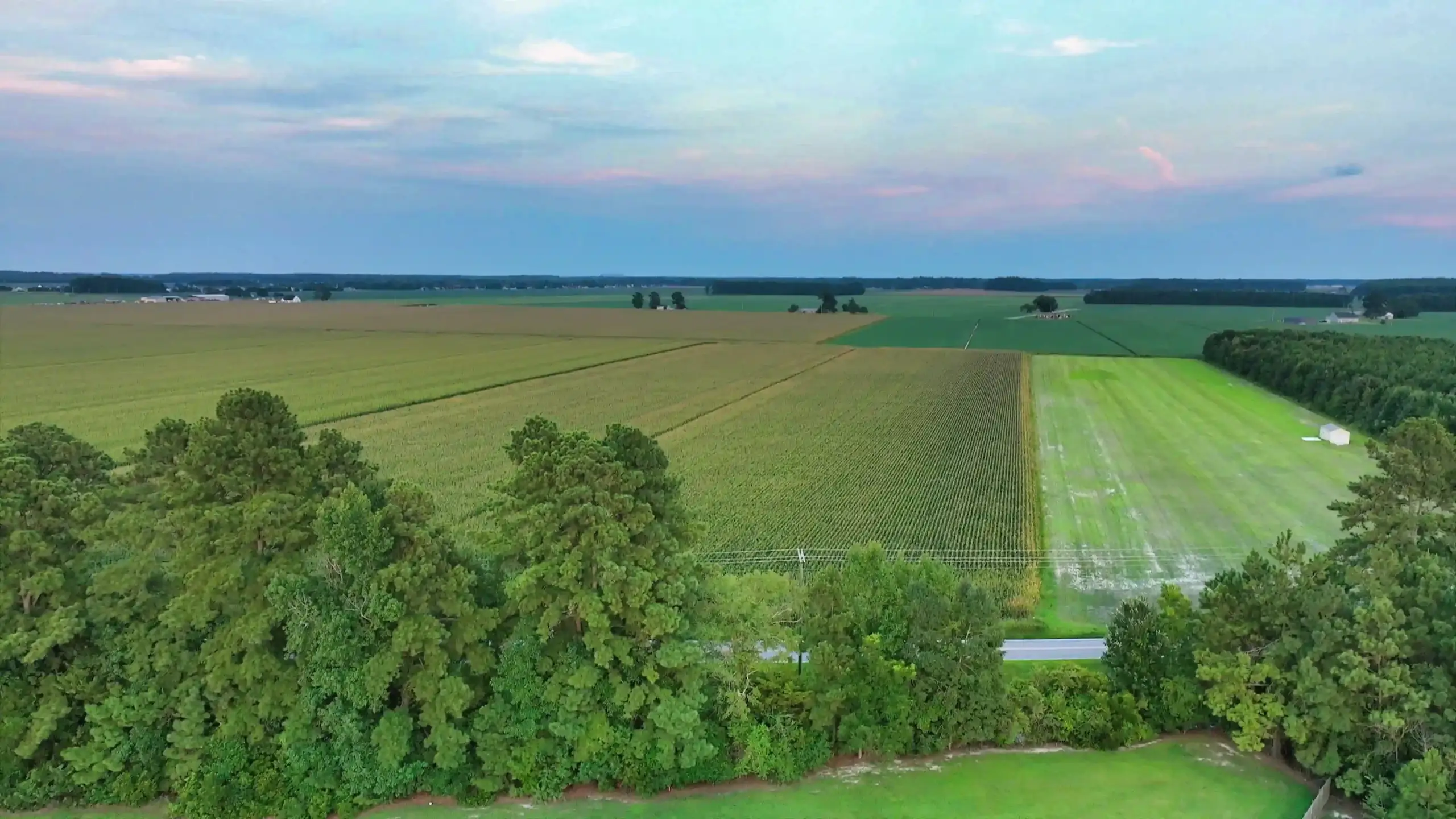
Aerial documentation revealing crop conditions, drainage patterns, terrain features, wildlife activity, and overall property conditions across agricultural and managed lands.
THE PROBLEM
The Problem
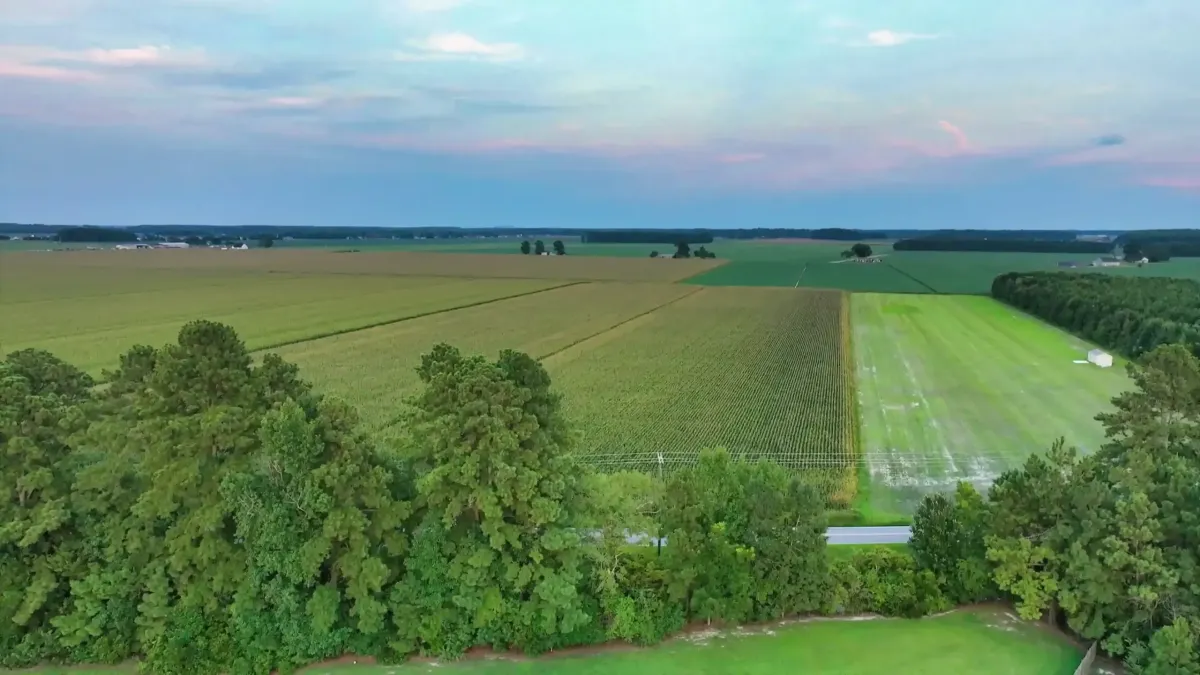
Large agricultural and managed properties can be difficult to fully understand from ground level. Drainage patterns, irrigation systems, crop conditions, wildlife activity, and terrain variations often extend across wide areas where ground observation alone provides limited visibility.
Without an aerial perspective, landowners and managers may miss important conditions affecting productivity, property maintenance, operational planning, and long-term land management decisions.
Solution
THE AGL APPROACH
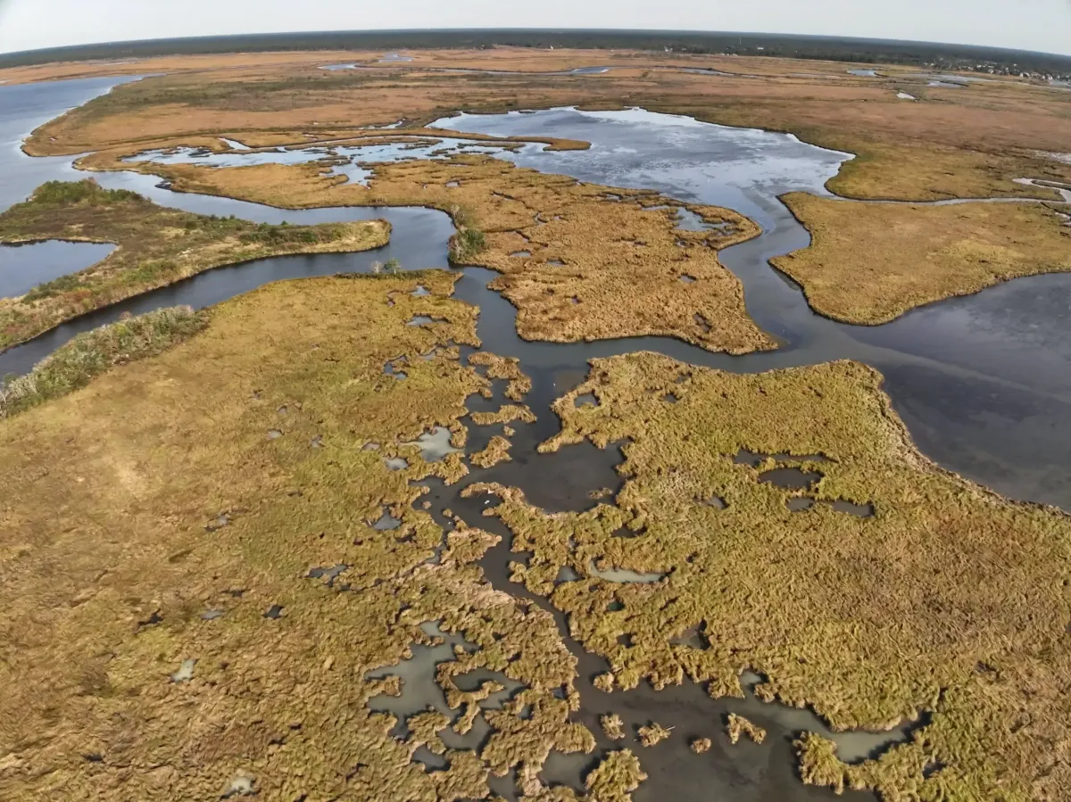
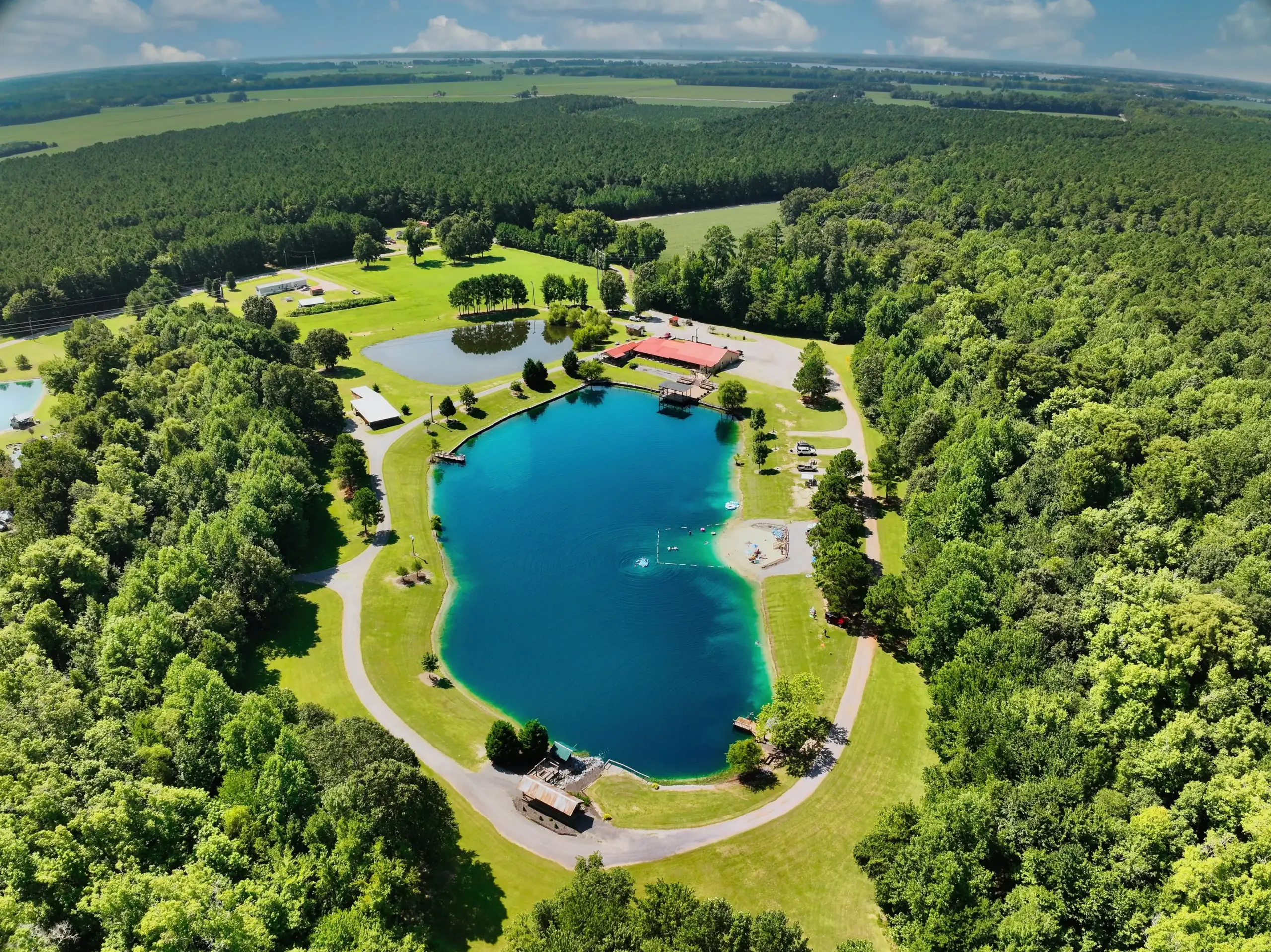
“A Better View Of Your Land, Crops, And Infrastructure” AGL provides visual and thermal aerial documentation that captures entire agricultural and managed properties in a single flight. High-resolution imagery helps identify crop conditions, drainage patterns, terrain features, infrastructure, wildlife activity, and changing property conditions across large areas.
The result is better visibility, better planning, and better land management decisions.
The Advantages
Faster coverage of large properties, clearer visibility across fields and infrastructure, and thermal insights that reveal conditions not visible from the ground.
TYPICAL DELIVERABLES & BENEFITS
VISUAL PROOF
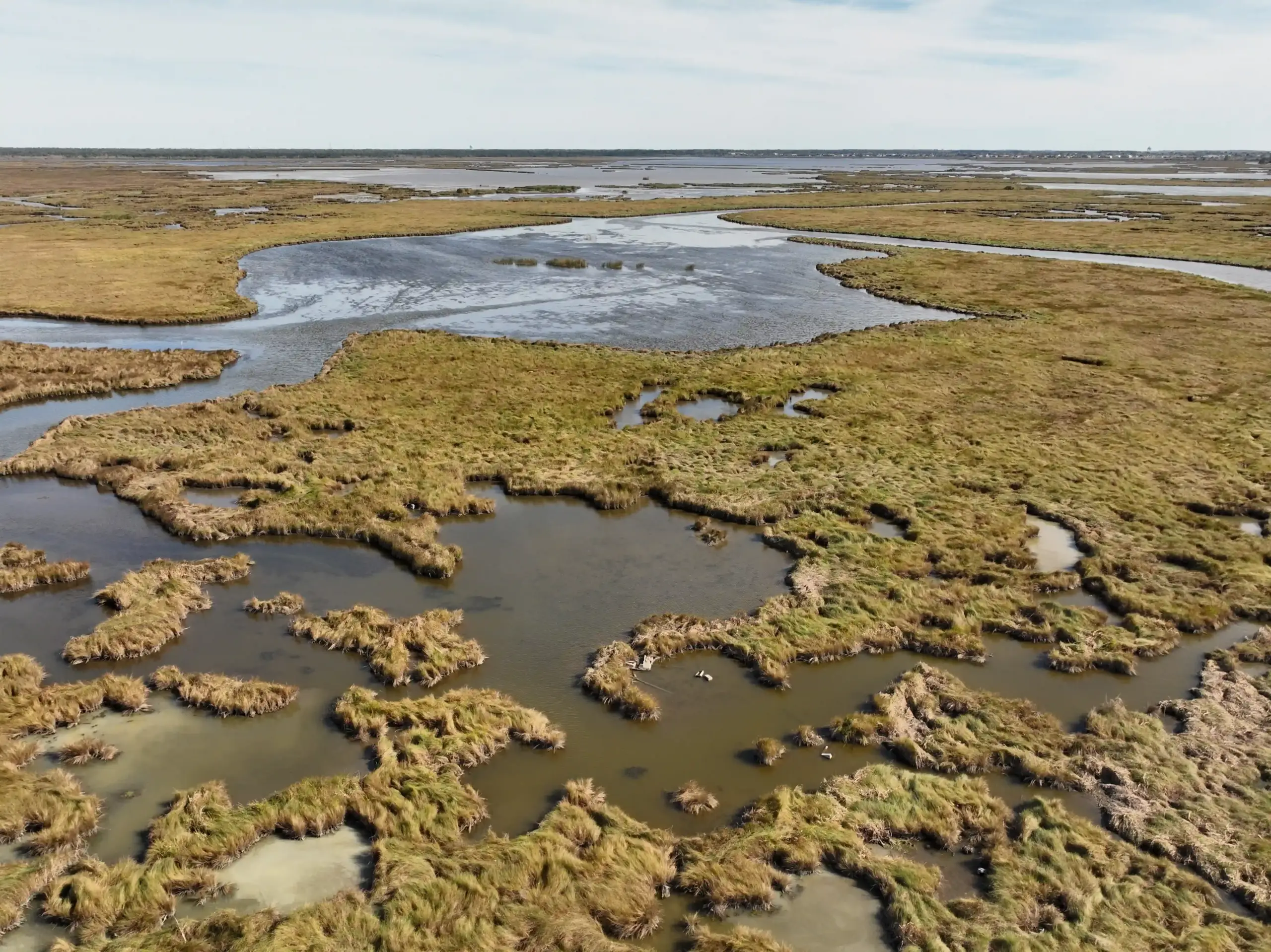
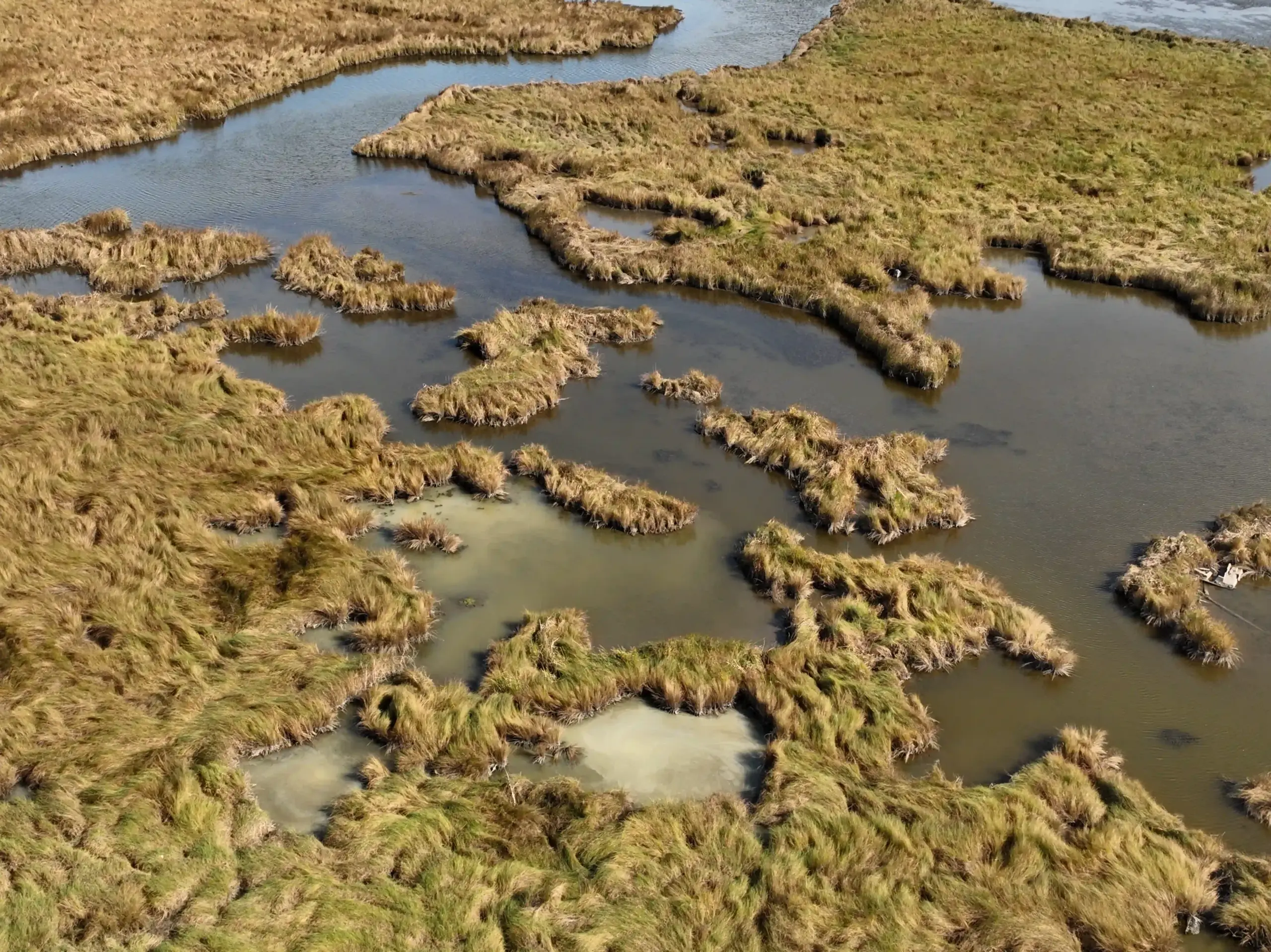
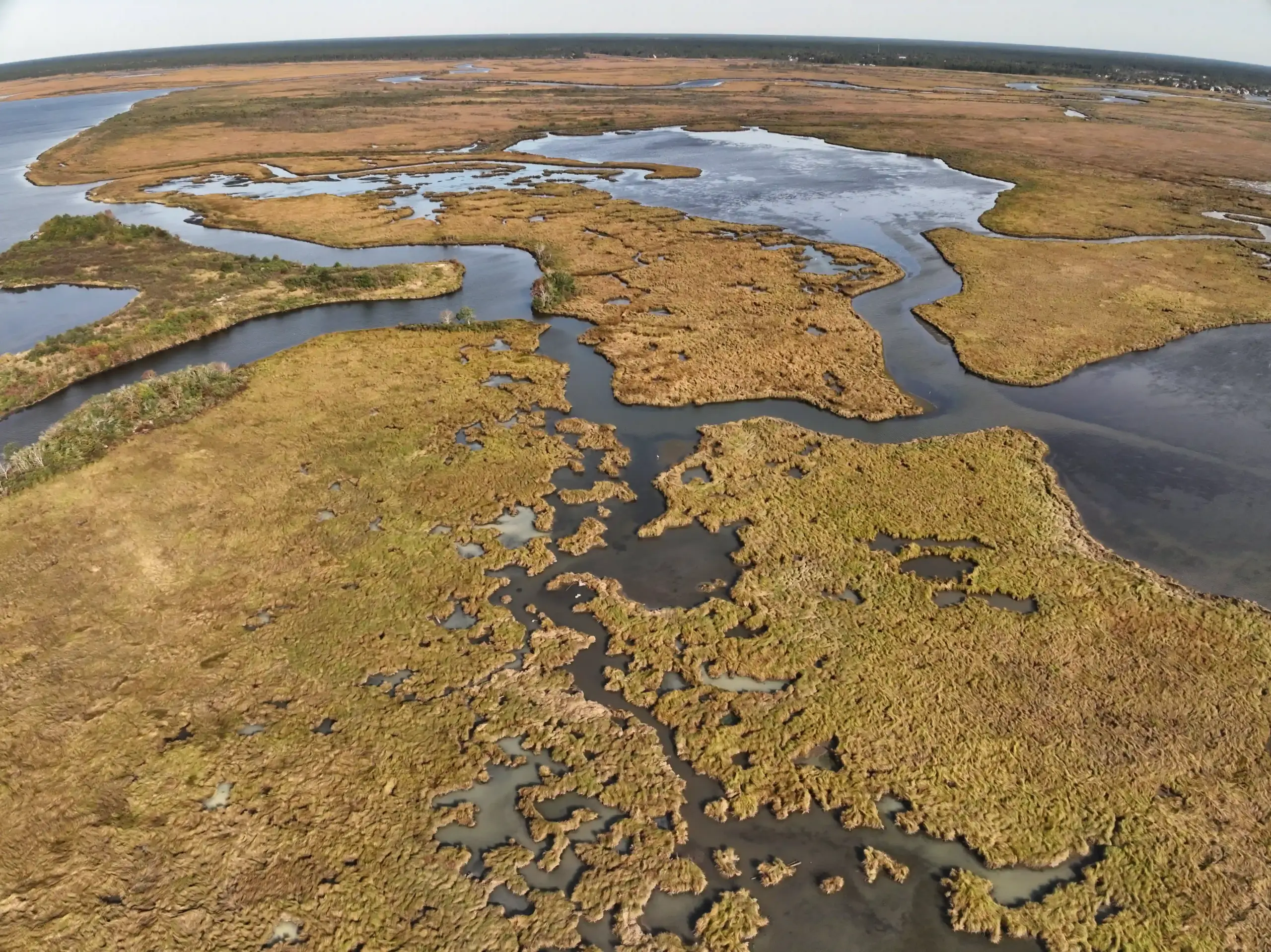
Real Agricultural Documentation
Examples
Start the Conversation
AGRICULTURE & LAND MANAGEMENT
How can drone services help farmers and landowners?
Our aerial data provides farmers and landowners with clear, actionable insights into field conditions, drainage, and crop health.
Can you document flooded or saturated farmland?
Yes, our drones can safely and quickly survey flooded or saturated areas, providing high-resolution imagery for assessment.
What agricultural uses are common?
Common uses include orthomosaic field mapping, terrain and elevation modeling, and tracking changes over time.
Do these services replace agronomists or licensed professionals?
No. Our services provide visual data and documentation that agronomists and professionals use to make more informed decisions.
Let's Solve Your Problem
From Above
Whether you need answers on a property, documentation for a project, or fast-response aerial support, AGL provides clear, actionable visual data to help you make decisions with confidence.
From thermal anomalies to site conditions and progress tracking, this is where we identify what matters and show you what others can’t see.
Call or Text: 252-621-3006
Email: [email protected]
Reducing Risk. Saving Time.
Delivering Clarity

Elizabeth City, North Carolina
Contact Us
License & Certifications
 Veteran-Owned Business
 FAA Part 107 Certified UAS Pilot
 FAA-Certificated Airframe & Powerplant (A&P) Mechanic
 FCC Licensed
 AGL Drone Imagery LLC does not provide licensed land surveying or certified measurement services.
- 🌡️ Level I UAS Thermography Certification – Infrared Training Center (FLIR)
- ⚓ U.S. Coast Guard Auxiliary – Remote Pilot in Command (Operational Support)
- DJI Enterprise Platform Experience (Matrice Series)
© Copyright 2026. All rights reserved. Website by Vareweb.