OVERVIEW
Commercial &
Industrial Facilities
Visual and thermal aerial
documentation supporting facility awareness, infrastructure assessments, asset
documentation, and informed operational decisions.
THE PROBLEM
The Problem
Commercial and industrial facilities often span large areas containing buildings, infrastructure, equipment, and critical assets. Relying solely on ground-level observations can make it difficult to maintain facility awareness, document changing conditions, monitor assets, and identify areas that may require further evaluation.
Whether managing a manufacturing facility, warehouse, solar farm, wind energy site, or electrical infrastructure, limited visibility can result in incomplete documentation, missed conditions, and reduced situational awareness across the property.
Solution

THE AGL APPROACH
“Visual And Thermal Documentation For Smarter Facility Management” AGL provides visual and thermal aerial documentation that captures commercial and industrial facilities from perspectives not available at ground level. High-resolution magery helps document buildings, infrastructure, equipment, rooftops, utility assets, and changing site conditions across large properties.
The result is improved facility awareness, stronger asset documentation, better maintenance planning, and more informed operational decisions.
The Advantages
Better facility visibility, improved safety, and stronger long-term
asset documentation.
TYPICAL DELIVERABLES & BENEFITS
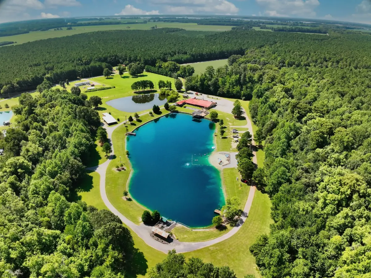
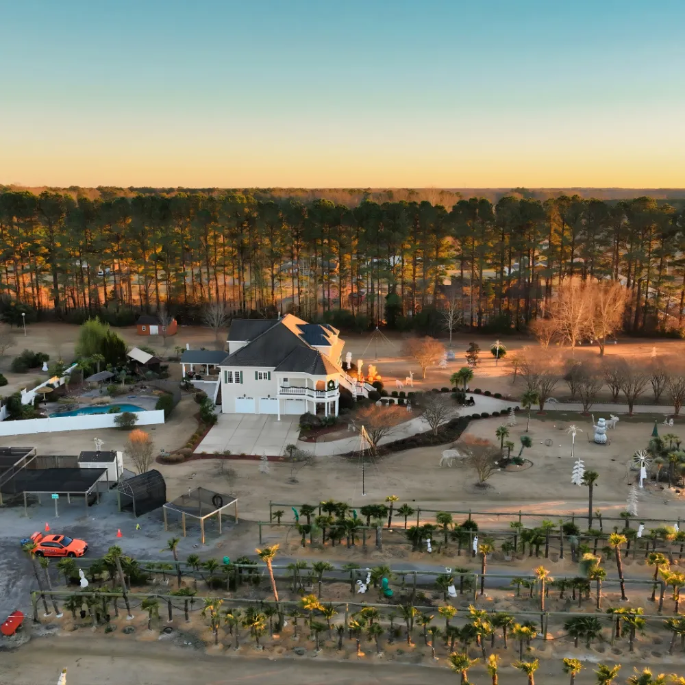
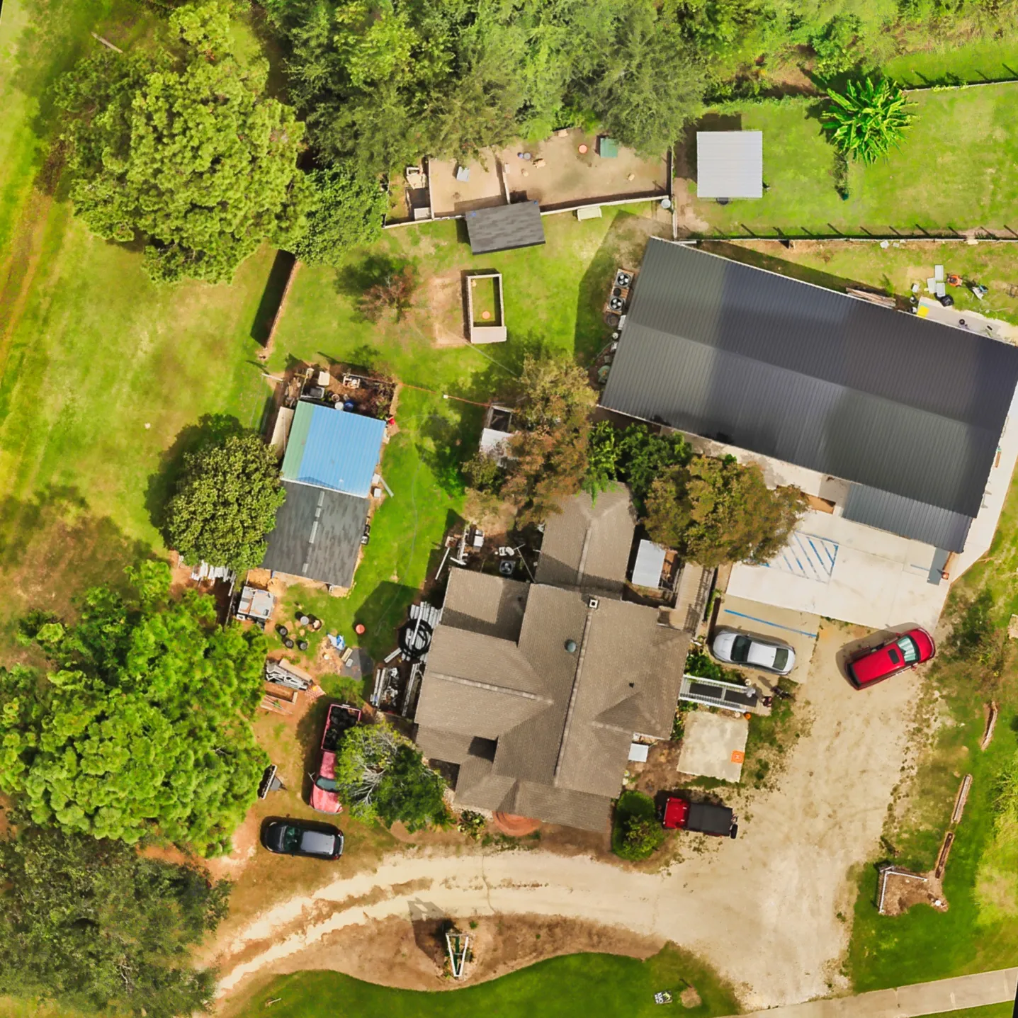
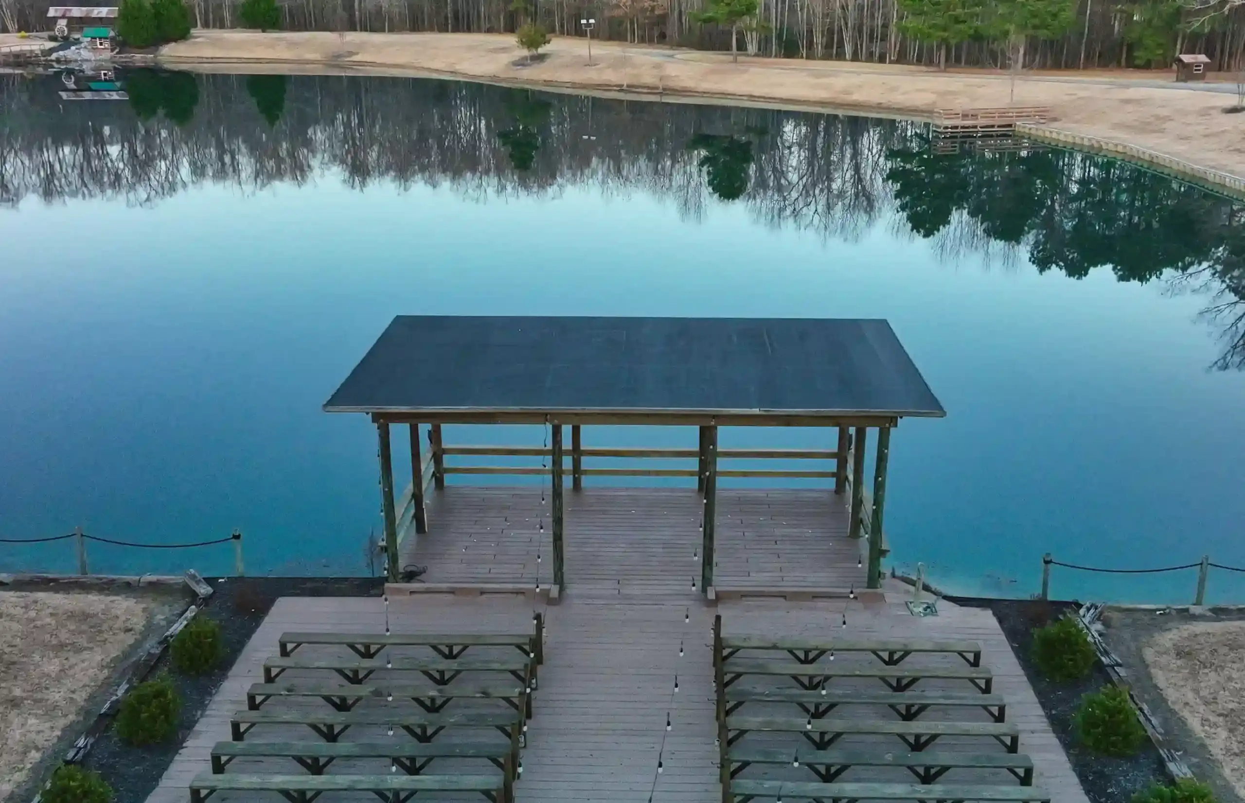
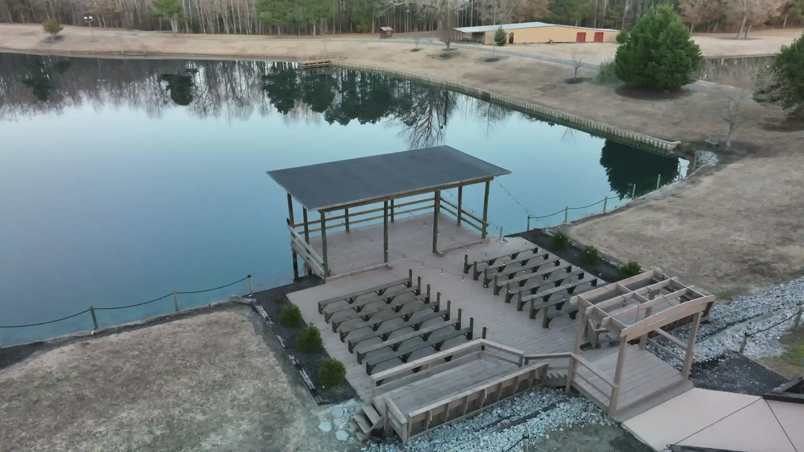
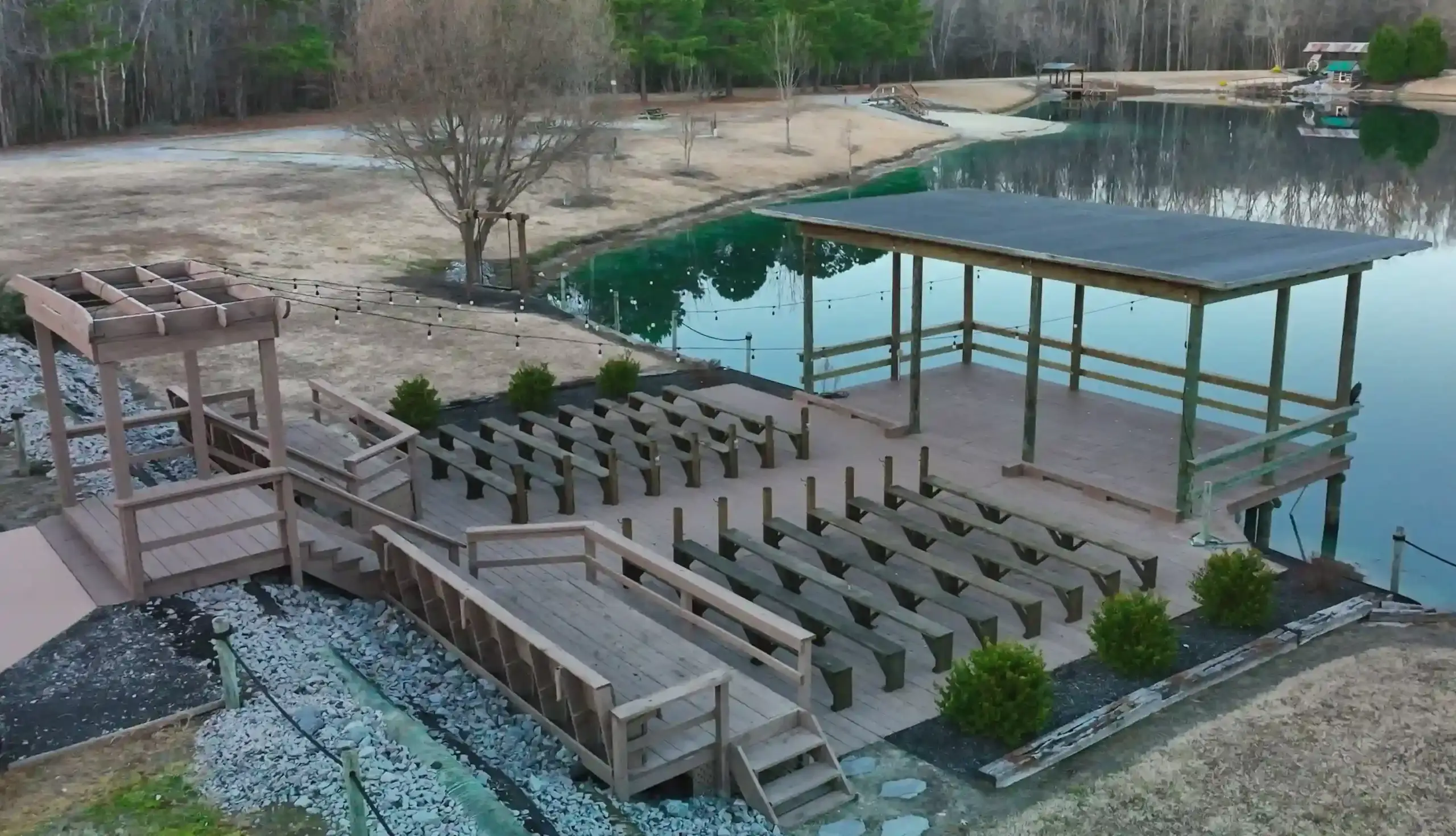
VISUAL PROOF
Real Commercial & Industrial
Documentation Examples


Start the Conversation
Let's Solve Your Problem
From Above
Whether you need answers on a property, documentation for a project, or fast-response aerial support, AGL provides clear, actionable visual data to help you make decisions with confidence.
From thermal anomalies to site conditions and progress tracking, this is where we identify what matters and show you what others can’t see.
Call or Text: 252-621-3006
Email: [email protected]
Reducing Risk. Saving Time.
Delivering Clarity
Elizabeth City, North Carolina
Contact Us
License & Certifications
 Veteran-Owned Business
 FAA Part 107 Certified UAS Pilot
 FAA Airframe & Powerplant (A&P) Licensed
 FCC Licensed
 AGL Drone Imagery LLC does not provide licensed land surveying or certified measurement services.
- 🌡️ Level I UAS Thermography Certification – Infrared Training Center (FLIR)
- ⚓ U.S. Coast Guard Auxiliary – Remote Pilot in Command (Operational Support)
- DJI Enterprise Platform Experience (Matrice Series)
© Copyright 2026. All rights reserved. Website by Vareweb.