OVERVIEW
Historic & Cultural
Preservation
Non-intrusive aerial documentation supporting preservation, archival records, condition
awareness, planning discussions, and long-term stewardship of historic, cultural, and
heritage sites.
The Problem
Historic and cultural sites require detailed visual records to
support preservation, maintenance, restoration, and future planning. Yet many important features including roofs, masonry, chimneys, towers, and elevated structures are difficult to inspect safely and consistently from the ground. Without comprehensive documentation,
stakeholders may lack the information needed to evaluate conditions, prioritize repairs, document changes over time, or support funding and restoration efforts.
Solution

THE AGL APPROACH
“Detailed Documentation Without Physical Access” AGL provides high resolution aerial imagery, orthomosaic documentation, and advanced 3D digital documentation that captures historic structures and their
surrounding environments from perspectives that are difficult to obtain from the ground. These deliverables create detailed visual records that can be reviewed, shared, archived, and revisited long after the flight is complete.
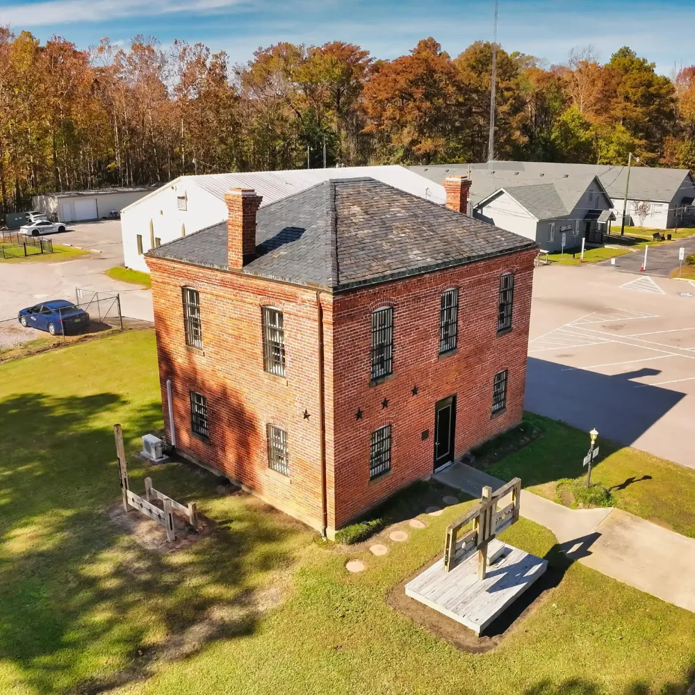
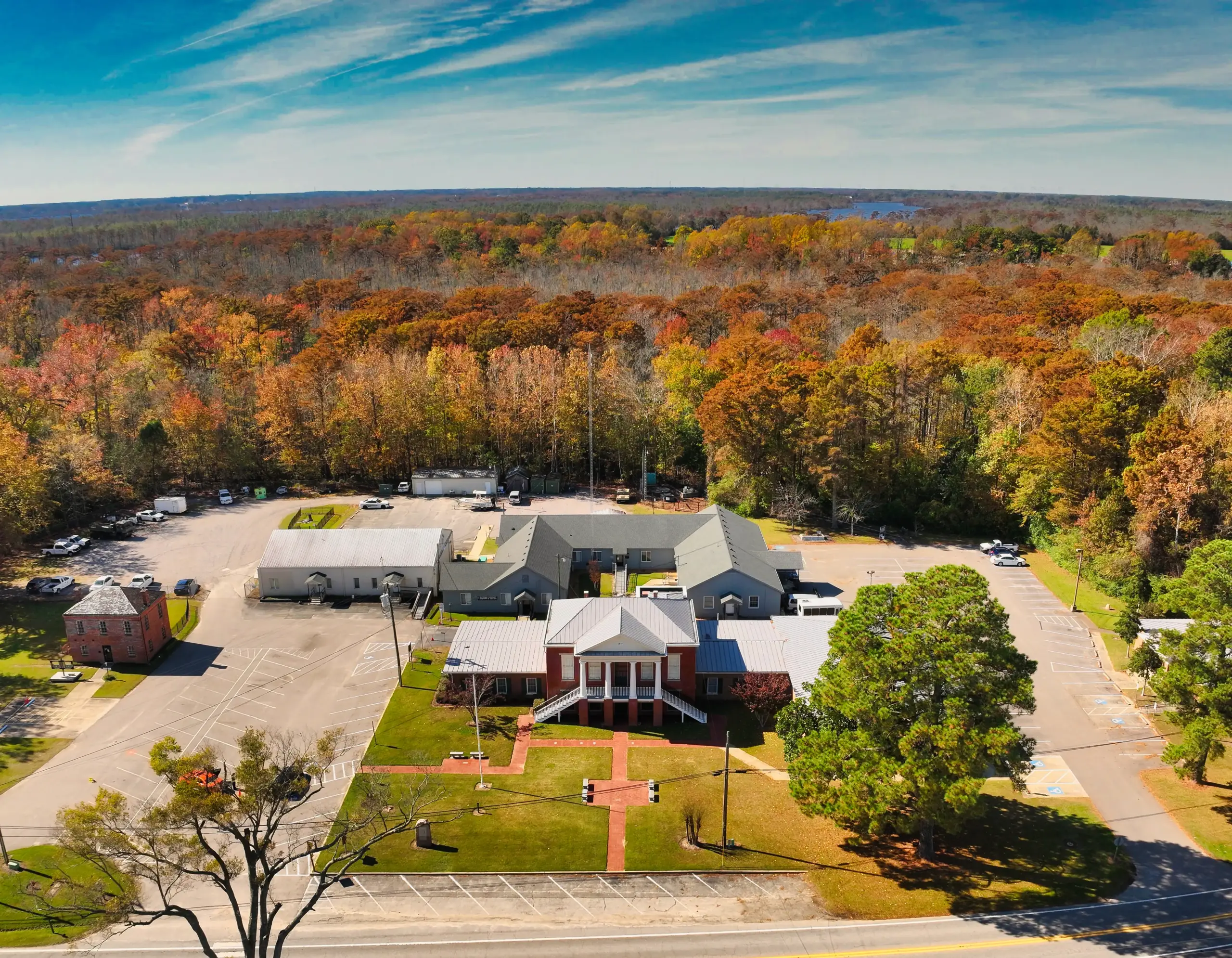
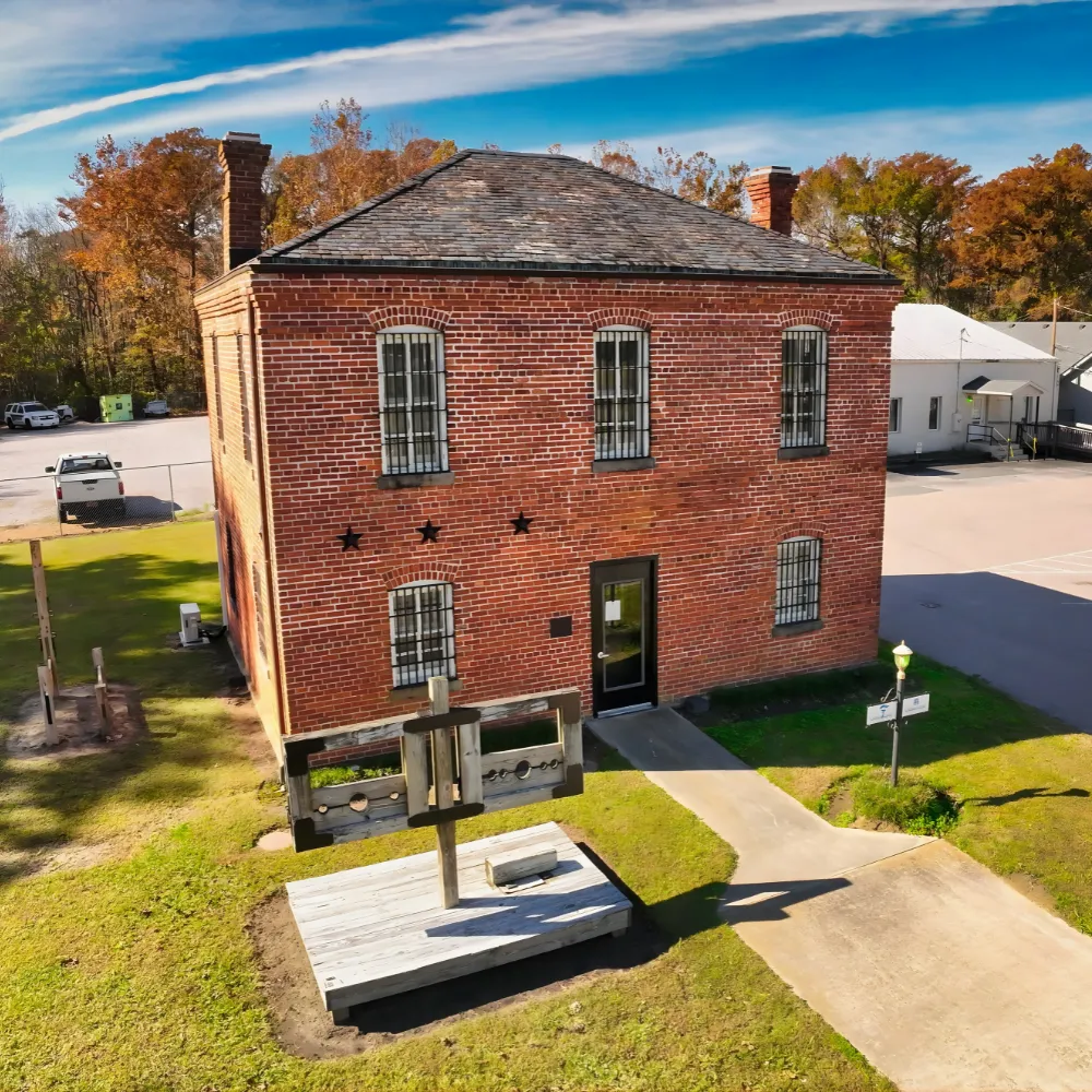
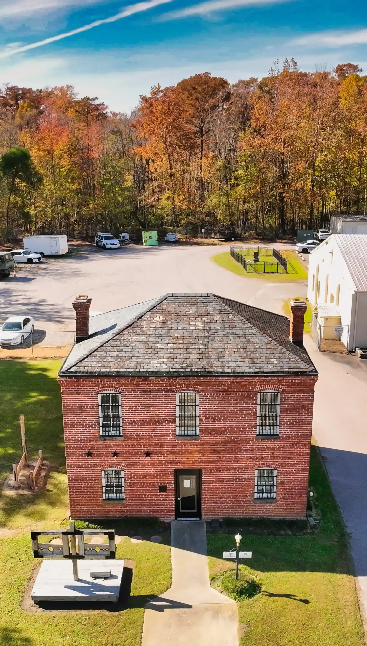
By documenting roofs, masonry, architectural features, site layouts, and surrounding conditions, aerial documentation supports preservation planning, restoration discussions, maintenance assessments, educational initiatives, grant applications, and long-term record keeping without physical contact with the structure.
The Advantages
• Non-invasive documentation that reduces risk to fragile, historic, or difficult-to-access structures.
• Detailed visual records capturing architectural features, structural conditions, site context, and surrounding environments.
• Long-term digital preservation supporting maintenance planning, restoration projects, grant applications, education, and future reference.
TYPICAL DELIVERABLES & BENEFITS
VISUAL DOCUMENTATION
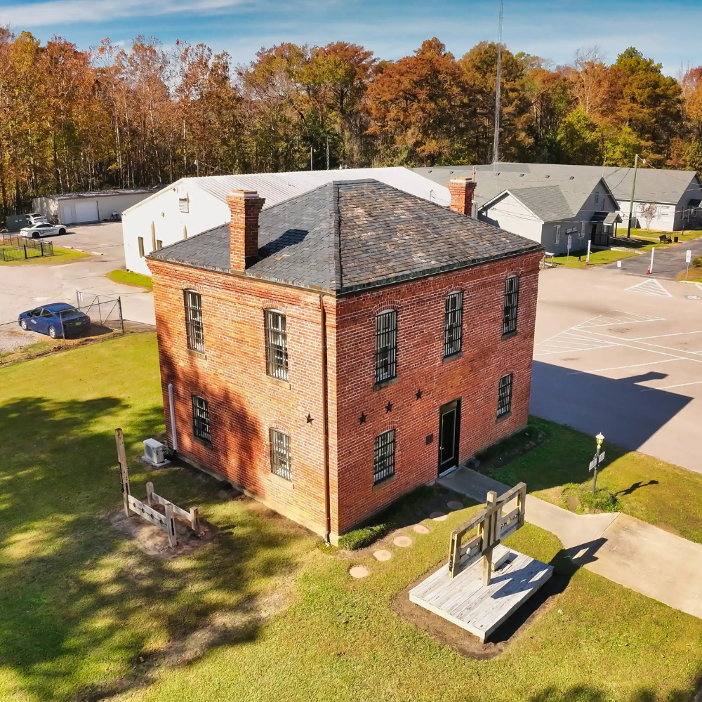
Historic Preservation Examples

Start the Conversation
Let's Solve Your Problem
From Above
Whether you need answers on a property, documentation for a project, or fast-response aerial support, AGL provides clear, actionable visual data to help you make decisions with confidence.
From thermal anomalies to site conditions and progress tracking, this is where we identify what matters and show you what others can’t see.
Call or Text: 252-621-3006
Email: [email protected]
Reducing Risk. Saving Time.
Delivering Clarity
Elizabeth City, North Carolina
Contact Us
License & Certifications
 Veteran-Owned Business
 FAA Part 107 Certified UAS Pilot
 FAA Airframe & Powerplant (A&P) Licensed
 FCC Licensed
 AGL Drone Imagery LLC does not provide licensed land surveying or certified measurement services.
- 🌡️ Level I UAS Thermography Certification – Infrared Training Center (FLIR)
- ⚓ U.S. Coast Guard Auxiliary – Remote Pilot in Command (Operational Support)
- DJI Enterprise Platform Experience (Matrice Series)
© Copyright 2026. All rights reserved. Website by Vareweb.