OVERVIEW
Insurance & Claims
Support
Visual and thermal aerial documentation supporting property records, condition awareness, damage documentation, and insurance claim support before and after loss events.
THE PROBLEM
The Problem
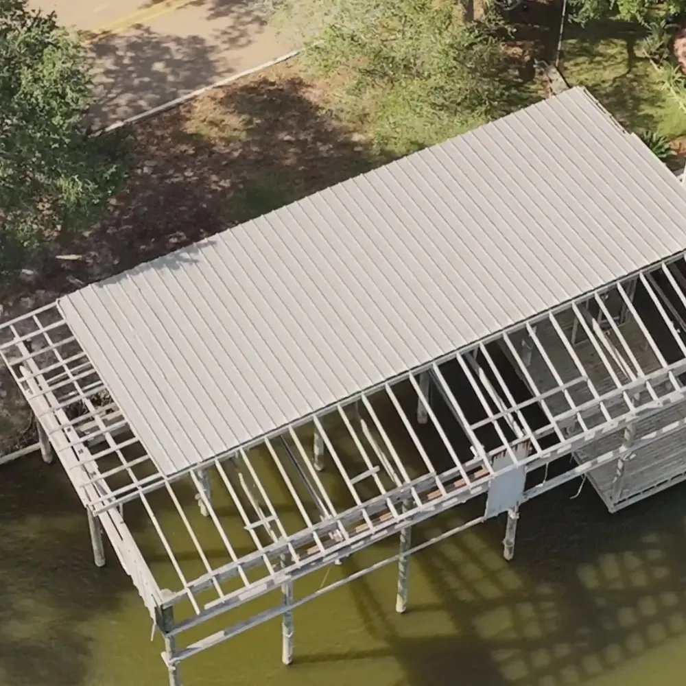
Property conditions can change rapidly following storms, accidents, equipment failures, or other unexpected events. Without clear documentation, it can be difficult to establish pre loss conditions, document damage, or maintain accurate records throughout the claims process.
Missing or incomplete documentation can create uncertainty, delays, and challenges when communicating property conditions to contractors, adjusters, or insurance representatives.
Solution
THE AGL APPROACH
“Clear Documentation Before & After Loss Events”
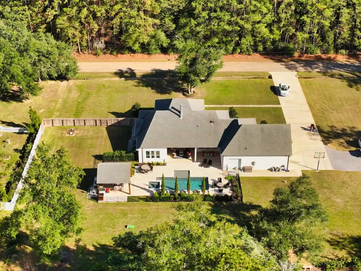
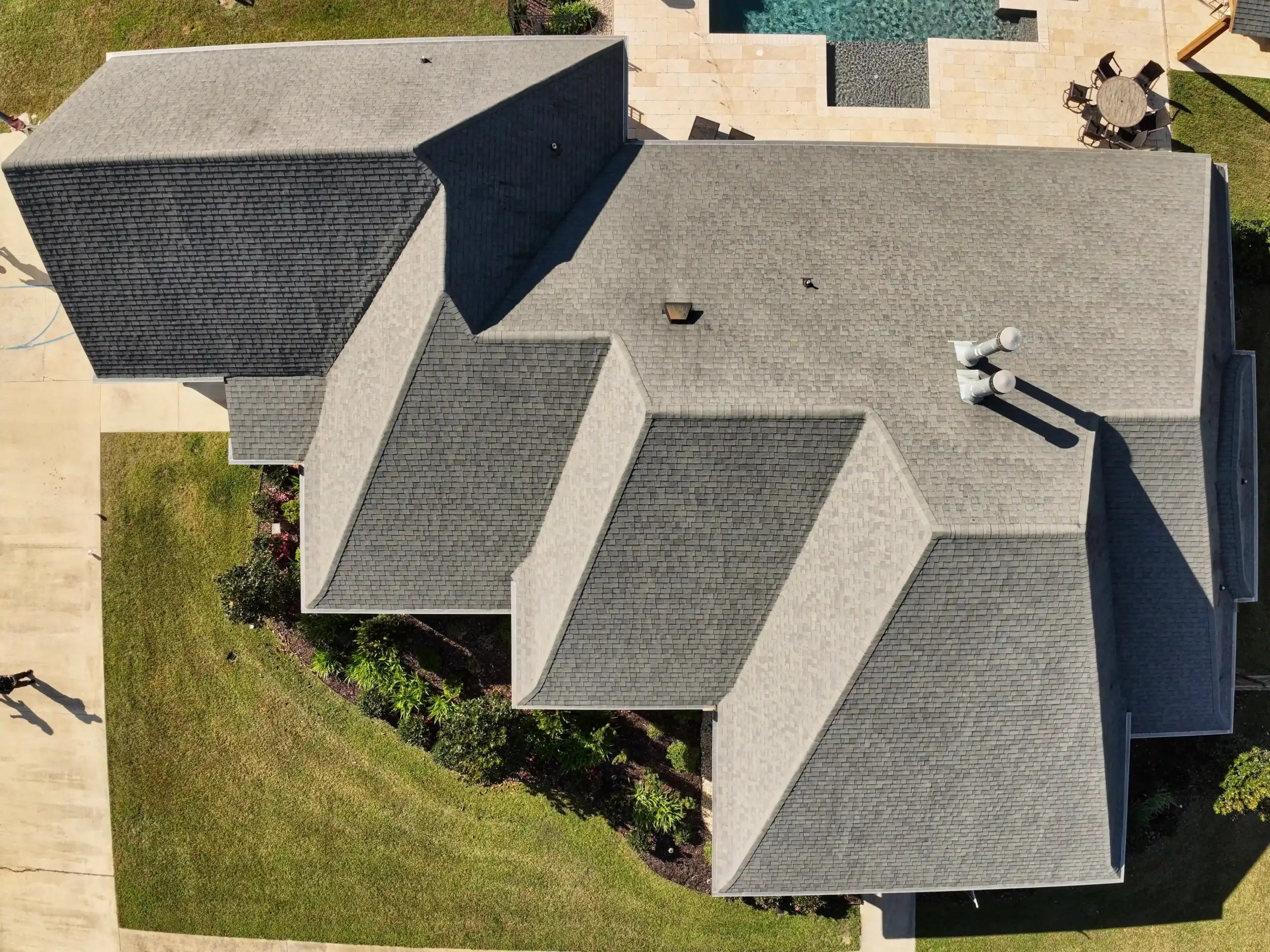
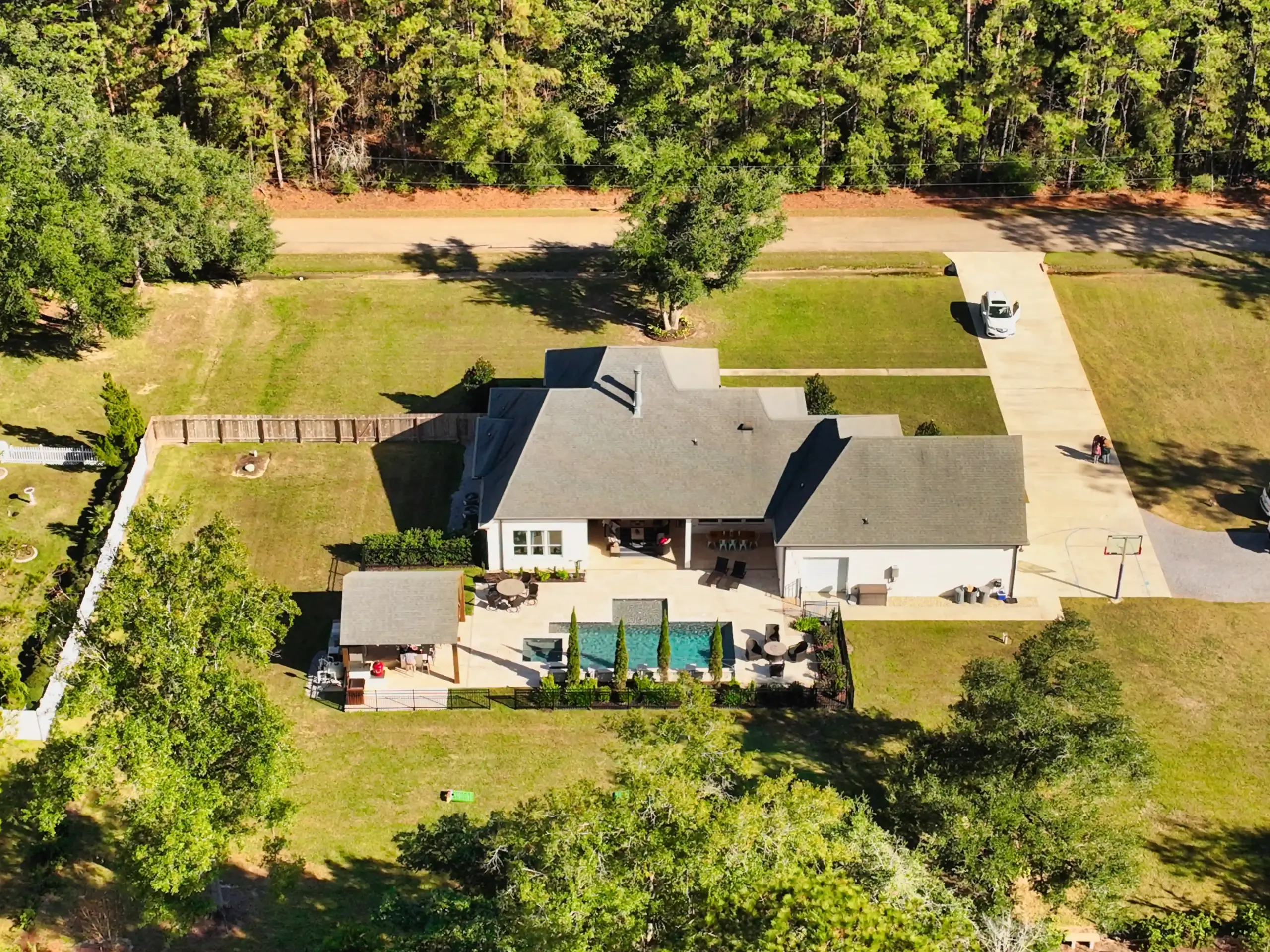
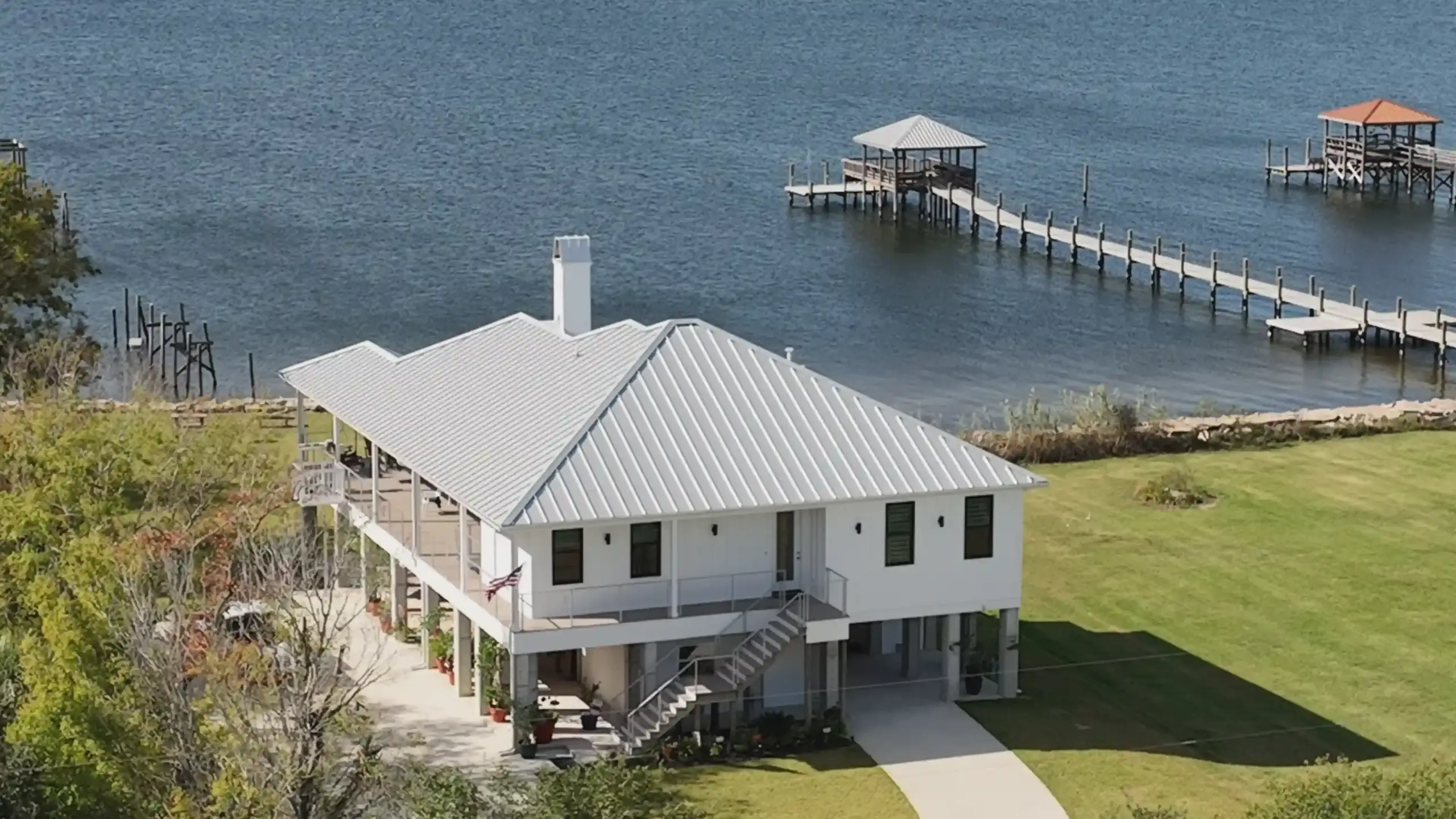
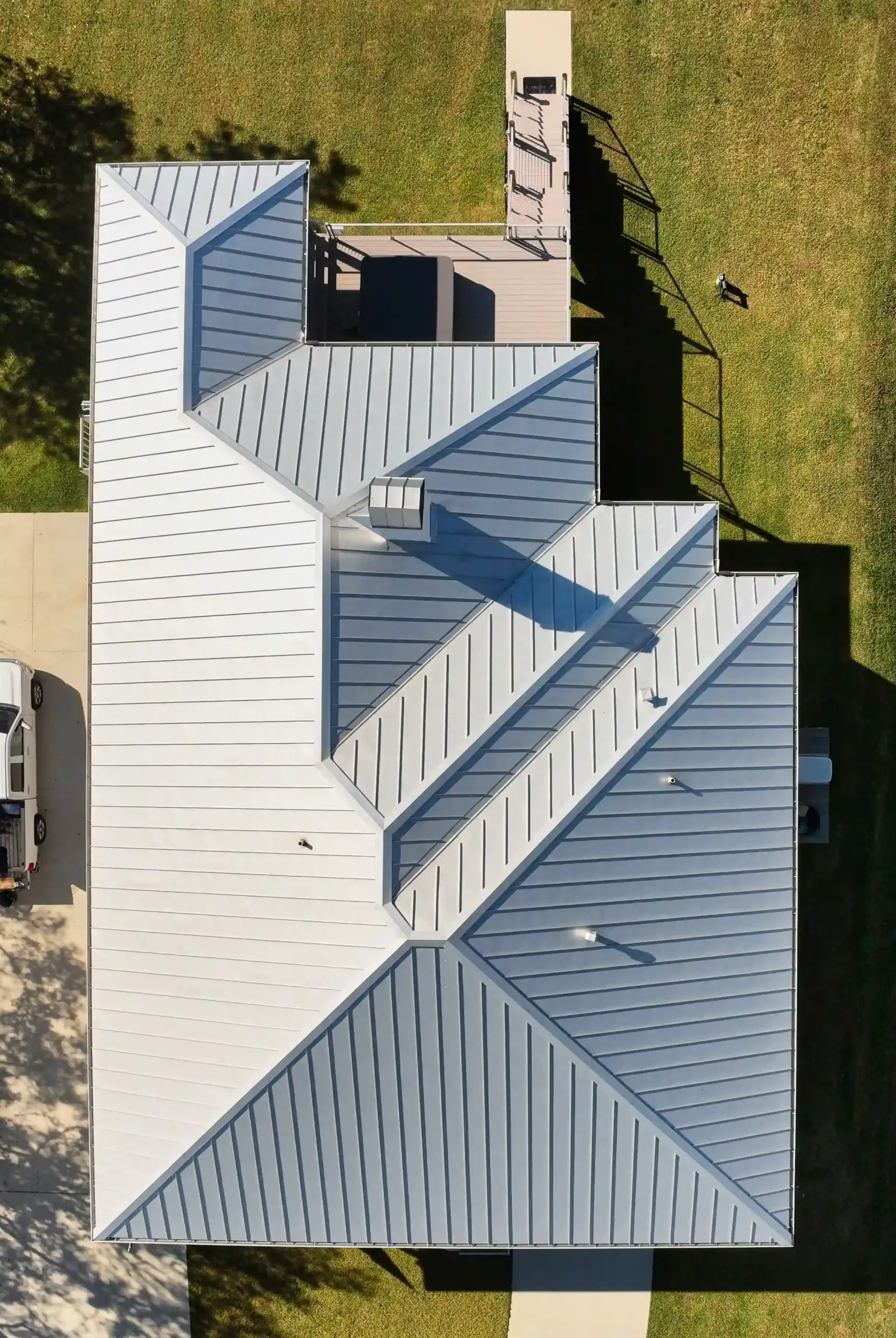
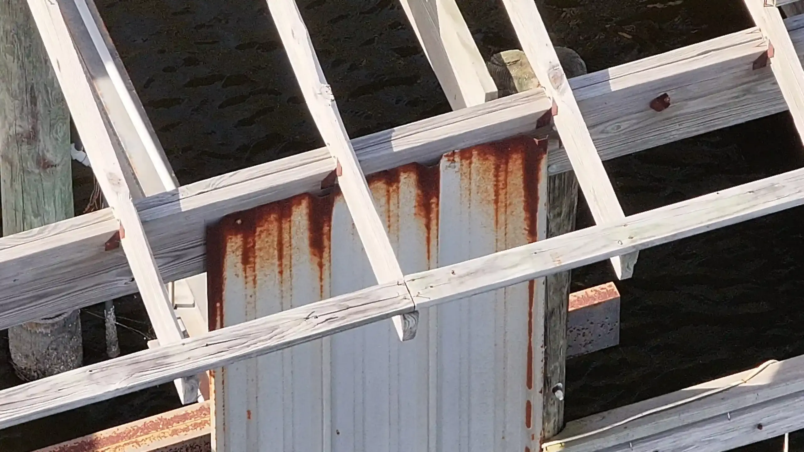
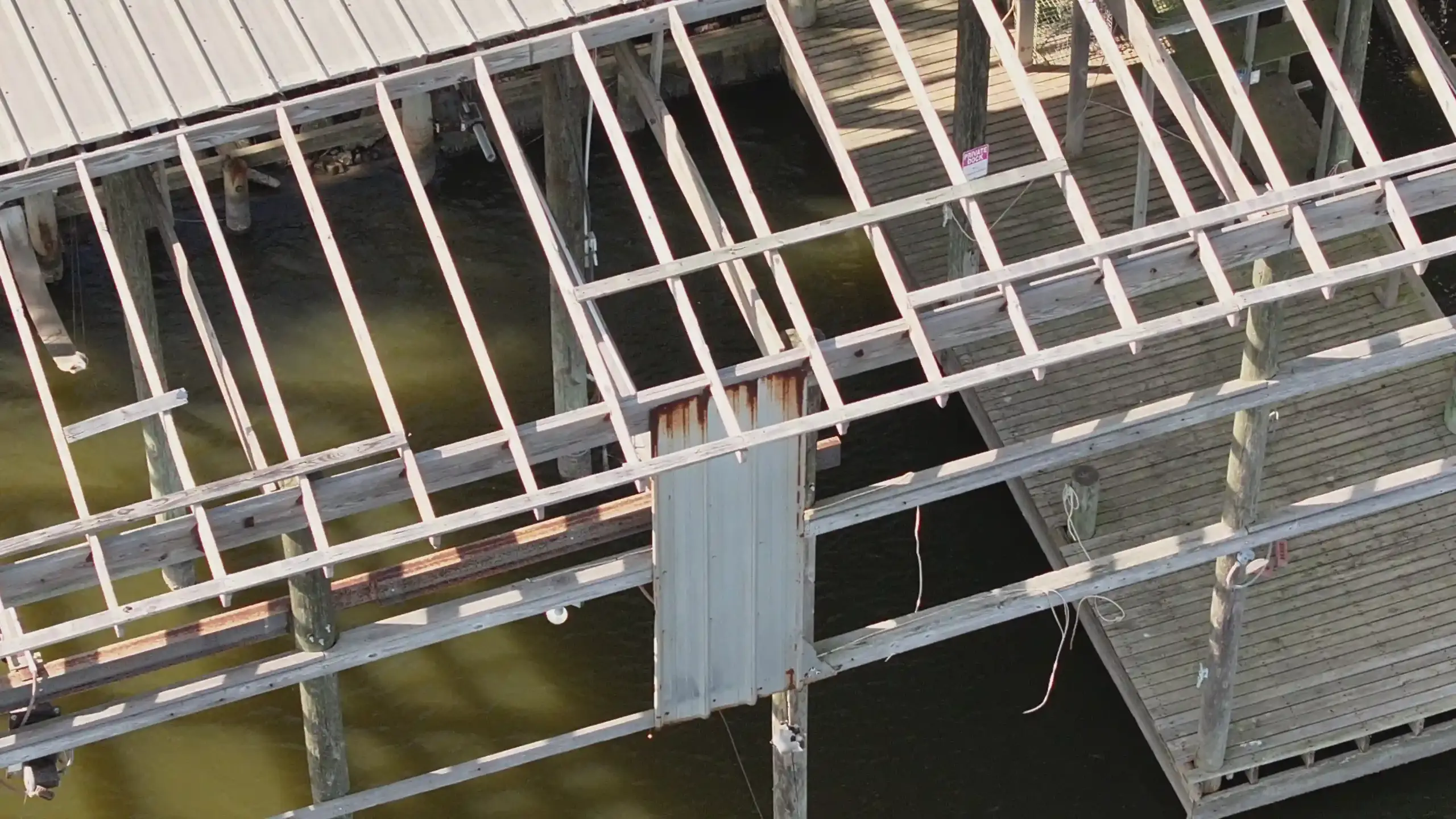
AGL provides visual and thermal aerial documentation that creates clear, time-stamped records of properties, structures, roofs, equipment, and other assets. Documentation can be collected before a loss event to establish baseline conditions or after an event to document observed conditions and visible damage.
These records support communication between property owners, contractors, adjusters, and insurance professionals while creating a permanent visual record for future reference.
The Advantages
Clearer damage documentation, improved safety, and stronger property
records to support insurance claim communication.
TYPICAL DELIVERABLES & BENEFITS
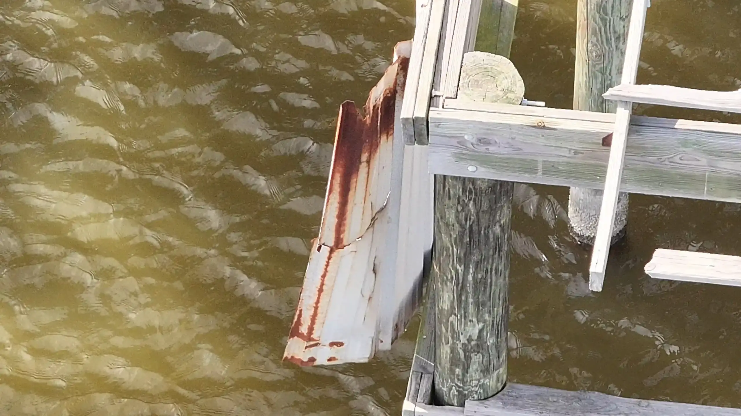
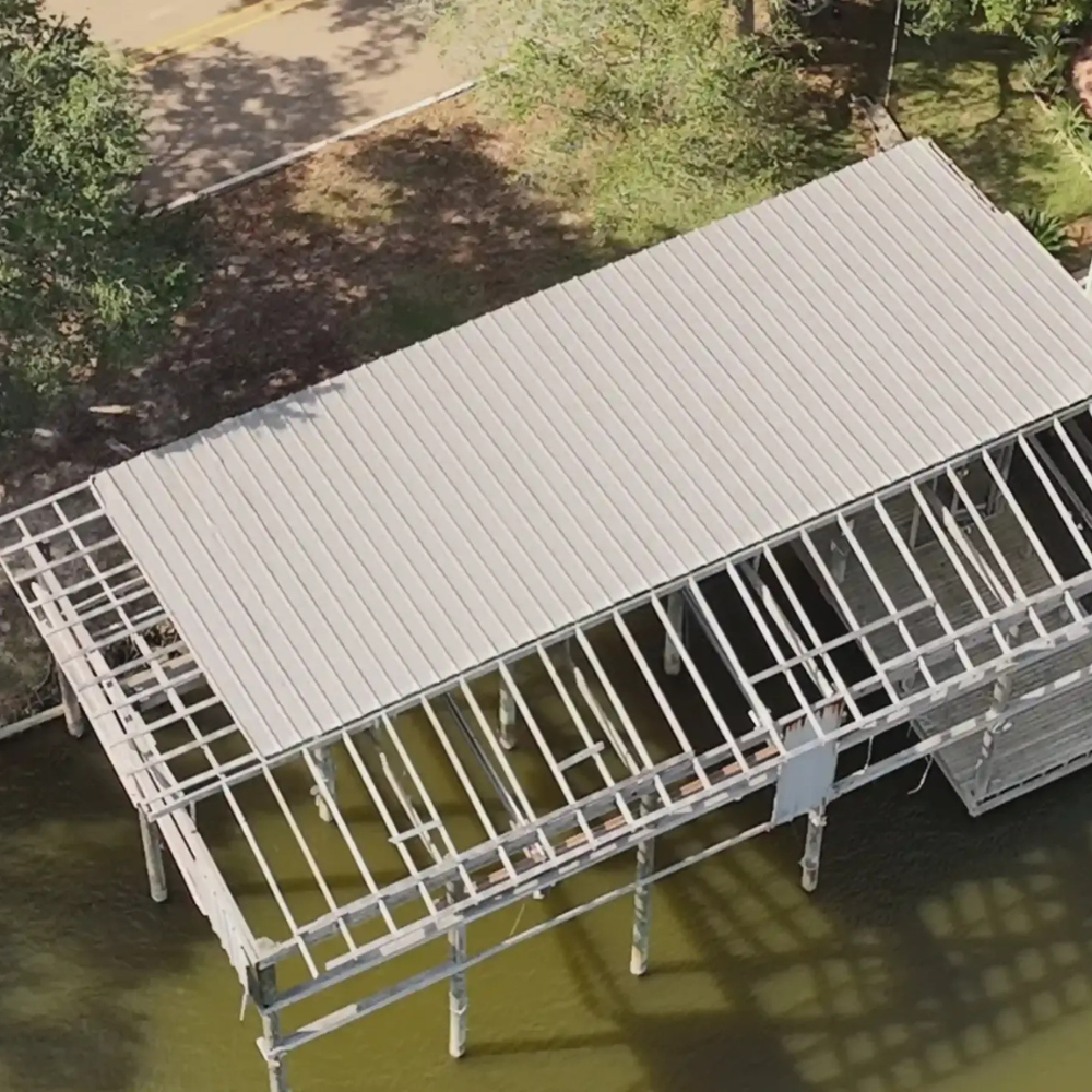
VISUAL PROOF
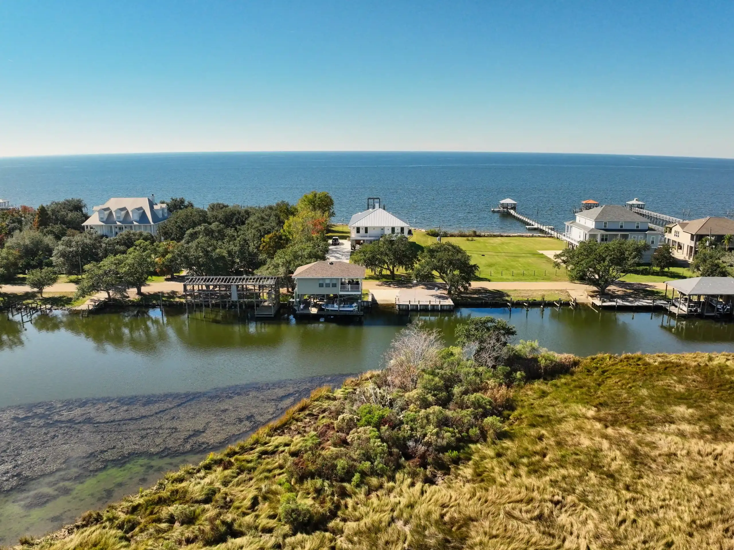
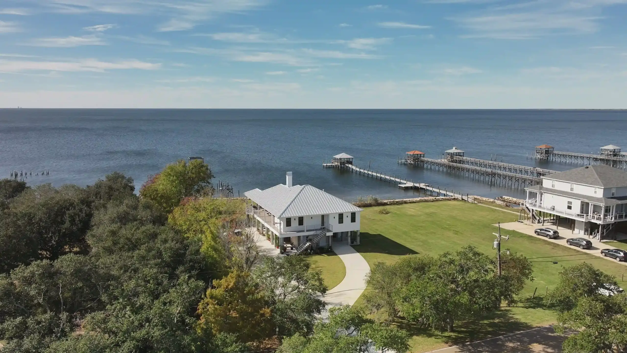
High-quality examples
Start the Conversation
INSURANCE & DAMAGE
DOCUMENTATION
How can drone documentation help with insurance claims?
AGL Drone Imagery provides clear, time-stamped aerial documentation that supports insurance claim review by showing property conditions before cleanup or repairs begin. Early documentation can help preserve visual evidence that may change quickly after storms, flooding, or wind events.
Do you work for insurance companies or homeowners?
AGL Drone Imagery works for property owners, businesses, farmers, and agencies. We provide independent aerial documentation that clients may choose to share with insurance adjusters, contractors, or other professionals as part of their claim process.
Can drone documentation speed up the insurance process?
In many cases, yes. Capturing conditions soon after an event can reduce delays caused by access issues, standing water, debris, or unsafe conditions. While AGL does not influence claim decisions, timely documentation can help clarify conditions during review.
What types of insurance-related documentation do you provide?
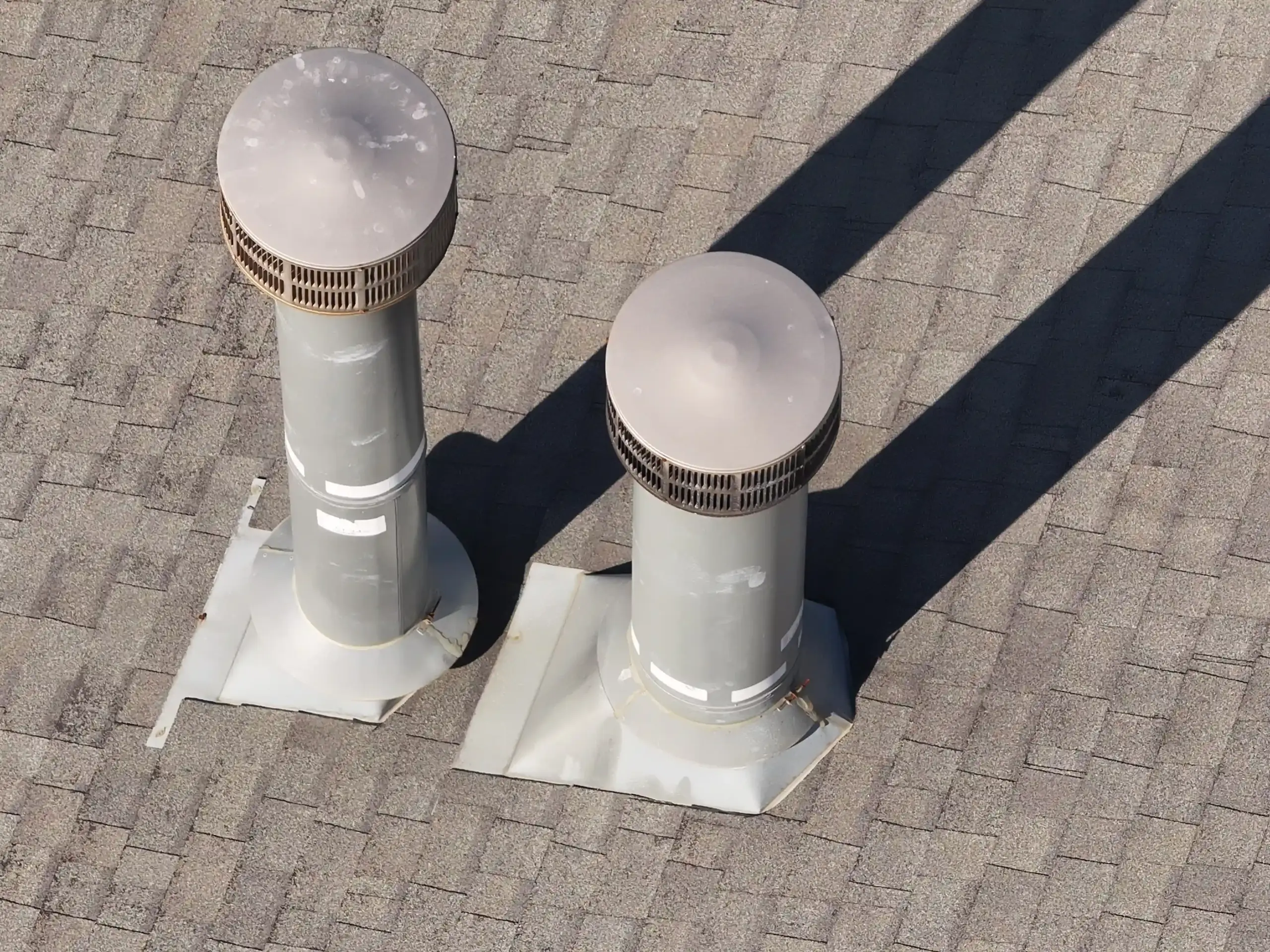
Common insurance-related documentation includes roof and structure imagery, flood extent and standing water documentation, wind and storm impact visuals, and large-property or farmland damage overviews. All deliverables are visual and informational only.
Let's Solve Your Problem
From Above
Whether you need answers on a property, documentation for a project, or fast-response aerial support, AGL provides clear, actionable visual data to help you make decisions with confidence.
From thermal anomalies to site conditions and progress tracking, this is where we identify what matters and show you what others can’t see.
Call or Text: 252-621-3006
Email: [email protected]
Reducing Risk. Saving Time.
Delivering Clarity
Elizabeth City, North Carolina
Contact Us
License & Certifications
 Veteran-Owned Business
 FAA Part 107 Certified UAS Pilot
 FAA-Certificated Airframe & Powerplant (A&P) Mechanic
 FCC Licensed
 AGL Drone Imagery LLC does not provide licensed land surveying or certified measurement services.
- 🌡️ Level I UAS Thermography Certification – Infrared Training Center (FLIR)
- ⚓ U.S. Coast Guard Auxiliary – Remote Pilot in Command (Operational Support)
- DJI Enterprise Platform Experience (Matrice Series)
© Copyright 2026. All rights reserved. Website by Vareweb.